
|
Area/Topic | Bibliography | Background | Hypotheses | Home |
|
Map Page.
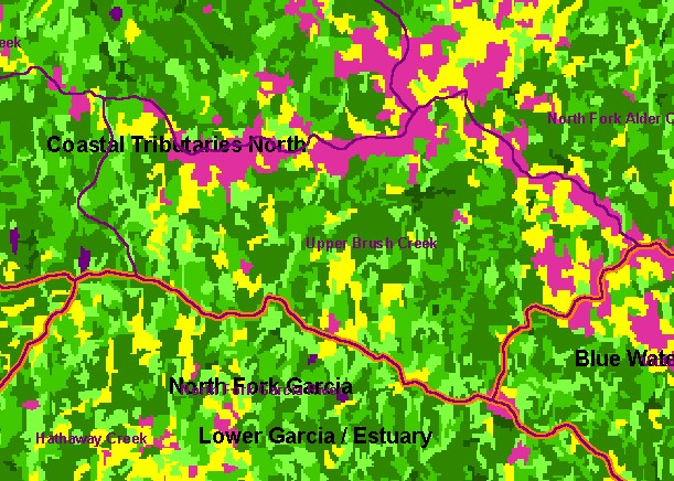
You selected the area Coastal Tributaries North and the topic Land Cover: USFS Veg Size for Upper Brush Creek 1994 |
| This is a map of 1994 vegetation size data in the Coastal Tributaries North sub-basin, overlaid on top of KRIS sub-basins and 1:24,000 streams. The tree size classifications were derived from Landsat multi-spectral images taken in 1994. Stand conditions are accurately represented at the one hectare scale. Change scene detection data from 1994 and 1998 Landsat scenes shows little change in this watershed in that period. Data were provided by the U.S. Forest Service Pacific Southwest Region Remote Sensing Lab, in cooperation with the California Department of Forestry. | |||
|
|
||
To view metadata about a map layer, click on a link in the table below.
| Name of Layer in Map Legend | Metadata File Name |
|---|---|
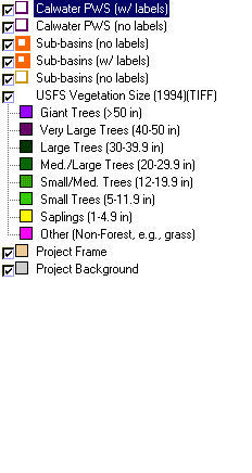
| Calwater PWS (w/ labels) | calw22.shp.txt |
| Calwater PWS (no labels) | calw22.shp.txt |
| Sub-basins (no labels) | subbasins.shp.txt |
| Sub-basins (w/ labels) | subbasins.shp.txt |
| Sub-basins (no labels) | subbasins.shp.txt |
| Change in Vegetation (1994-98)(TIFF) | vegchg.tif.txt |
| USFS Riparian Veg Size (1994)(TIFF) | vegsizebuf.tif.txt |
| USFS Vegetation Size (1994)(TIFF) | vegsize.tif.txt |
| Project Frame | Unavailable |
| Topo Map (1:24k scale)(USGS) | Unavailable |
| Grayscale Hillshade (TIFF) | grayscale_light.tif.txt |
| Project Background | Unavailable |
| www.krisweb.com |