
|
Area/Topic | Bibliography | Background | Hypotheses | Home |
|
Map Page.
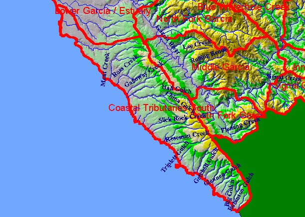
You selected the area Coastal Tributaries South and the topic Map: 1B Hydrography with DEM, Coastal Tribs S. Sub-basin |
| This is a map of the 1:24,000 scale USGS hydrography in the Coastal Tributaries South sub-basin, overlaid on top of an elevation hillshade. The sub-basin contains many small creeks, such as Schooner Gulch, Moat Creek, Galloway Creek, Roseman Creek and Point Arena Creek. Ten meter DEM data on which the hillshade model is based were contributed by the California Department of Forestry. Scale = 1:176,548 . | |||
|
|
||
To view metadata about a map layer, click on a link in the table below.
| Name of Layer in Map Legend | Metadata File Name |
|---|---|
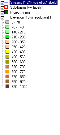
| Streams (1:24k scale)(w/ labels) | streams24.shp.txt |
| Sub-basins (w/ labels) | subbasins.shp.txt |
| Project Frame | Unavailable |
| Elevation (10 m resolution)(TIFF) | elev10.tif.txt |
| Topo Map (1:24k scale)(USGS) | Unavailable |
| www.krisweb.com |