|
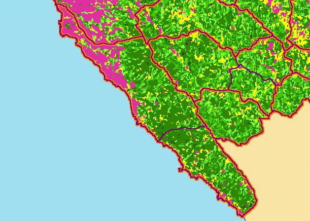
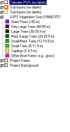
This is a map of 1994 vegetation size data in the Coastal Tributaries South sub-basin, overlaid on top of KRIS sub-basins, Calwater
Planning Watersheds and 1:24,000 streams. The tree size classifications were derived from Landsat multi-spectral images taken in
1994. Stand conditions are accurately represented at the one hectare scale. The coastal plain is to the north toward Pt Arena
shows as non-forest on this map and is mostly covered by grasslands and farms or ranches. While there are more medium/large
and larger trees in this sub-basin than the rest of the project area, there are still significant areas of early seral stage conditions in
much of the sub-basin, which reflect timber harvest over the last several decades. Data were provided by the U.S. Forest Service
Pacific Southwest Region Remote Sensing Lab, in cooperation with the California Department of Forestry.
|
|