| Area |
Coastal Tributaries South |
| Topic |
Tour: Aerial Photos of Point Arena and Point Arena Creek |
 Click on image to enlarge (37K). Click here to display a larger version (319K).
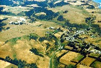
This 1994 aerial photograph shows Arena Cove at right and the public fishing pier with the western portion of the town of Pt Arena showing at left. Small craft off the pier are small commercial fishing boats. Arena Creek is in the green swale, with its mouth near the pier and its headwaters out of the photo to the left (see Picture #2). Photo provided courtesy of Peter Dobbins and the Friends of the Garcia River.
 Click on image to enlarge (47K). Click here to display a larger version (311K).
The town of Pt Arena is at center right in this 1994 aerial photo and Highway 1 can be seen heading south parallel the coast at upper right in the photo. The middle reaches of Arena Creek run through the upper third of the photo. Photo provided courtesy of Peter Dobbins and the Friends of the Garcia River.
 Click on image to enlarge (124K).
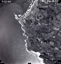
This 1984 aerial photo shows the town of Pt Arena at lower right and Arena Cove. At upper left is Point Arena and the mouth of the Garcia River. Photo courtesy of Peter Dobbins and the Friends of the Garcia River.
To learn more about this topic click Info Links
To view additional information (data source, aquisition date etc.) about this page, click Metadata

 Click on image to enlarge (37K). Click here to display a larger version (319K).
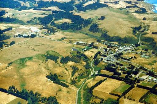 Click on image to enlarge (47K). Click here to display a larger version (311K).
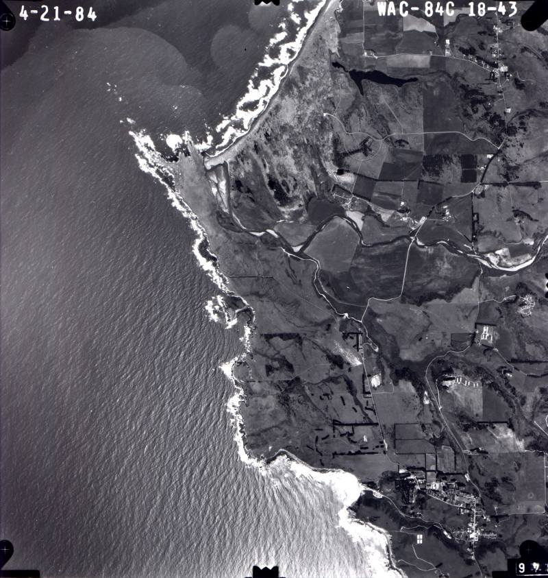 Click on image to enlarge (124K).
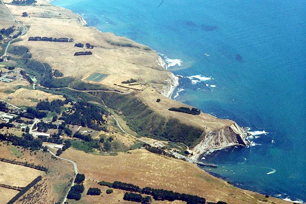