| Area |
Coastal Tributaries South |
| Topic |
Tour: Moat Creek Geologic Reconnaissance |
 Click on image to enlarge (122K).
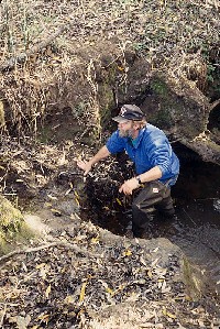
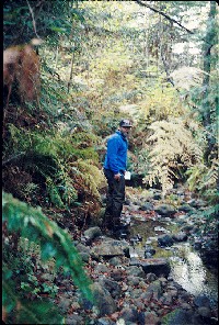
Danny Hagans stands in the Moat Creek stream channel in its middle reaches. According to Hagans, the stream channel is incised here likely because of rapid uplift and stream response to such events as the 1906 earthquake. Click on InfoLinks for more information and access to a Moat Creek report. Picture by Pat Higgins. 11/5/93.
 Click on image to enlarge (92K).
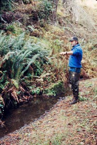
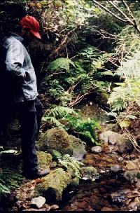
Danny Hagans explains how the bed elevation of Moat Creek has changed at this middle reach location near Curly Lane. Note the lack of coarse material on the bed here. Hagans noted that there were no competent bedrock formations in Moat Creek and; therefore, no rock hard enough for spawning substrate. Click on InfoLinks for more information and access to a Moat Creek report. Picture by Pat Higgins. 11/5/93.
 Click on image to enlarge (147K).
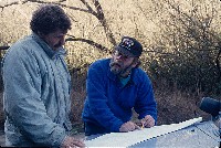
Danny Hagans explains bedrock geology of the Moat Creek basin and lack of rock for spawning substrate on the hood of a car in the field to Brian Thurman of the Moat Creek Management Agency. Click on InfoLinks for more information and access to a Moat Creek report. Picture by Pat Higgins. 11/5/93.
 Click on image to enlarge (123K).
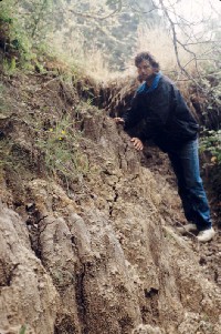
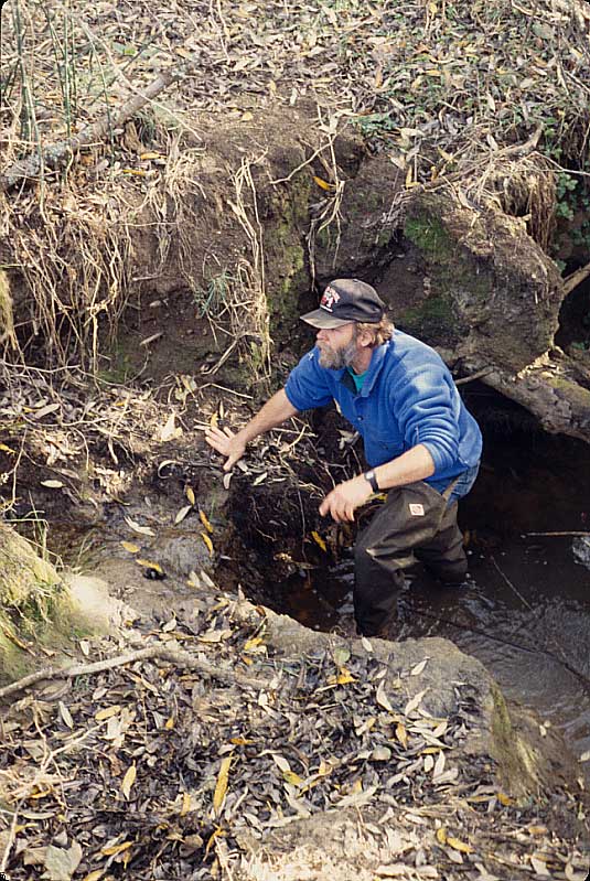
This photo shows an eroding bank in Moat Creek in its middle reaches, where uplifting by earthquakes and downcutting by the stream may have created this condition. Yarrow Brucker, a watershed restoration specialist, is the person leaning on the raw bank. Click on InfoLinks for more information and access to a Moat Creek report. Picture by Pat Higgins. August 1993.
 Click on image to enlarge (43K). Click here to display a larger version (195K).
Danny Hagans walks the upper channel of Moat Creek where there is apparently coarse aggregate. The boulders, cobbles and gravel in the photo, however, are actually weakly consolidated sand stones which disintegrate as they tumble further downstream. Click on InfoLinks for more information and access to a Moat Creek report. Picture by Pat Higgins. 11/5/93.
 Click on image to enlarge (42K). Click here to display a larger version (165K).
Brian Thurman looks down on upper Moat Creek in August 1993. Again, all the stream gravel, cobble and boulders in the margin are weakly consolidated sandstones. Click on InfoLinks for more information and access to a Moat Creek report. Picture by Pat Higgins. 11/5/93.
To learn more about this topic click Info Links
To view additional information (data source, aquisition date etc.) about this page, click Metadata

 Click on image to enlarge (122K).
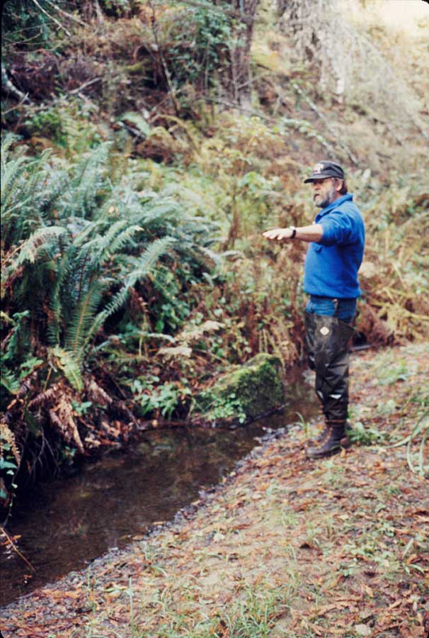 Click on image to enlarge (92K).
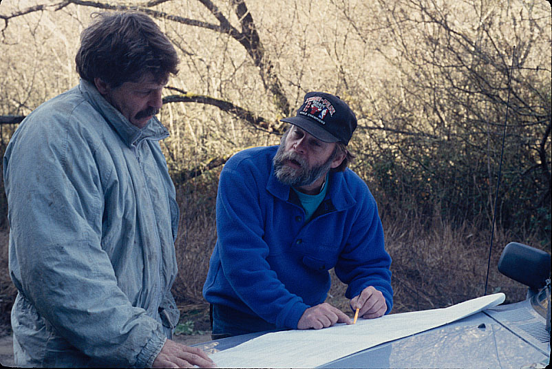 Click on image to enlarge (147K).
 Click on image to enlarge (123K).
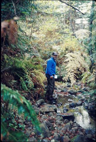 Click on image to enlarge (43K). Click here to display a larger version (195K).
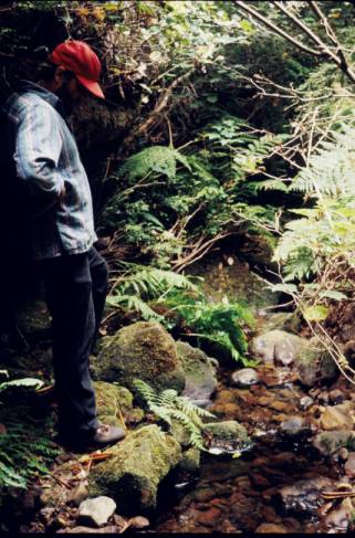 Click on image to enlarge (42K). Click here to display a larger version (165K).