| Area |
Coastal Tributaries South |
| Topic |
Tour: NF Schooner Gulch Road Improvement Reconnaissance |
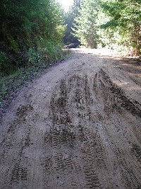
 Click on image to enlarge (73K). Click here to display a larger version (457K).
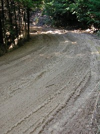
This photo shows a private road crossing the North Fork of Schooner Gulch, which flows under it in a culvert (see Picture #3). This road gets heavy winter use during wet periods and has been a contributor of sediment to the North Fork. The fix for this road will be funded as part of the Trout Unlimited (TU) partnership with the Mendocino Redwood Company (MRC), which owns the land upstream. This crossing actually is not an MRC road, but the company and TU are collaborating with the owners. March 2002. Photo by Pat Higgins.
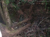
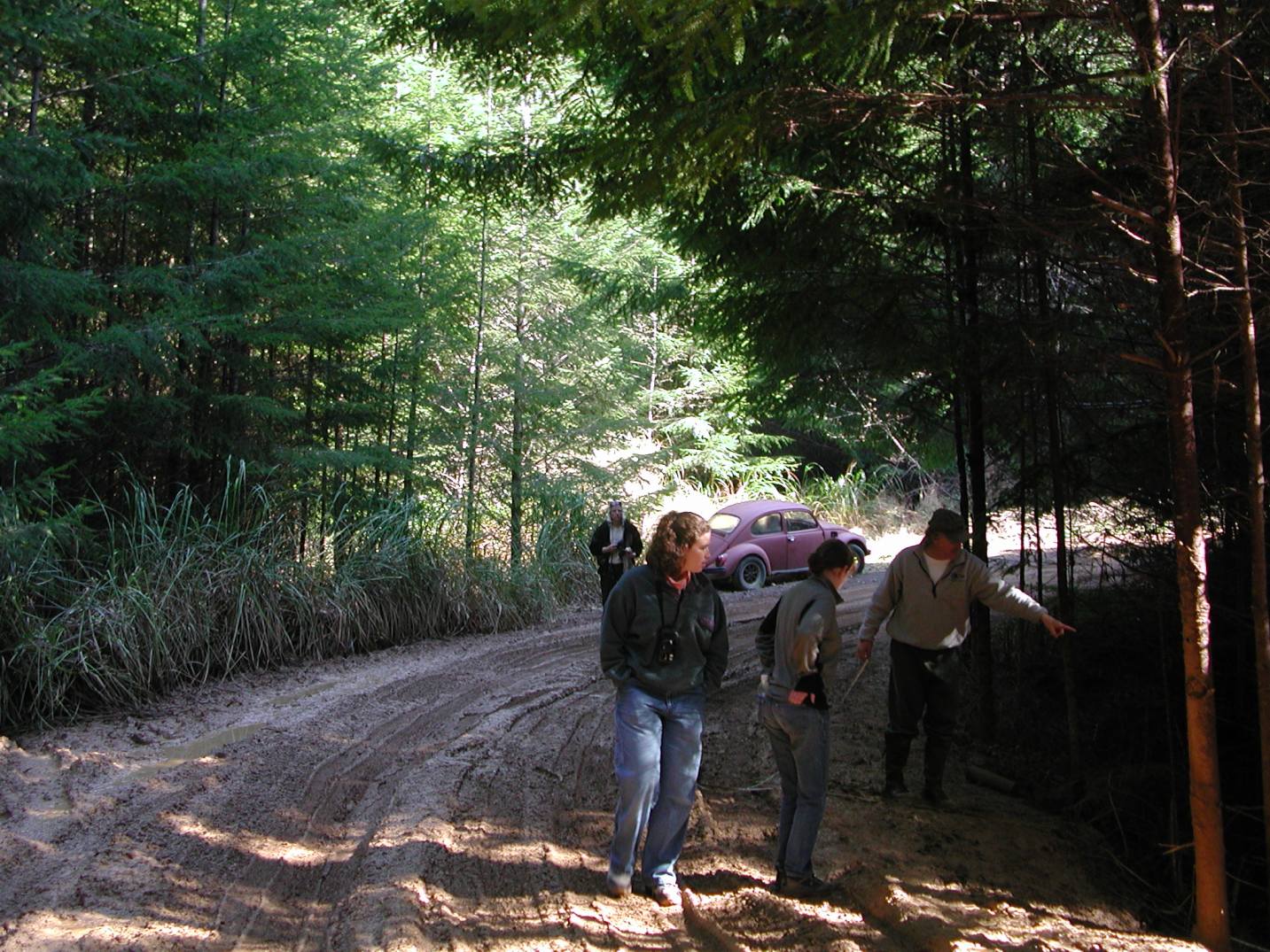
 Click on image to enlarge (85K). Click here to display a larger version (301K).
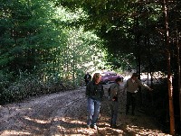
Craig Bell of Trout Unlimited points to the North Fork of Schooner Gulch and potential paths for sediment from the road. Vivian Bolin of the IFR KRIS project (back left) and Libby Earthman and Jennifer Presnell of the Americorp Watershed Stewards Project look on. March 2002. Photo by Pat Higgins.
 Click on image to enlarge (134K).
This culvert passes the North Fork Schooner Gulch under the road shown in the previous pictures. March 2002. Photo by Pat Higgins.
 Click on image to enlarge (75K). Click here to display a larger version (269K).
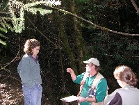
Geologist Danny Hagans is standing in the bed of the North Fork Schooner Gulch above the culvert and road prism. He is explaining to Jennifer Presnell (right) and Libby Earthman about how the road reconstruction will take place. March 2002. Photo by Pat Higgins.
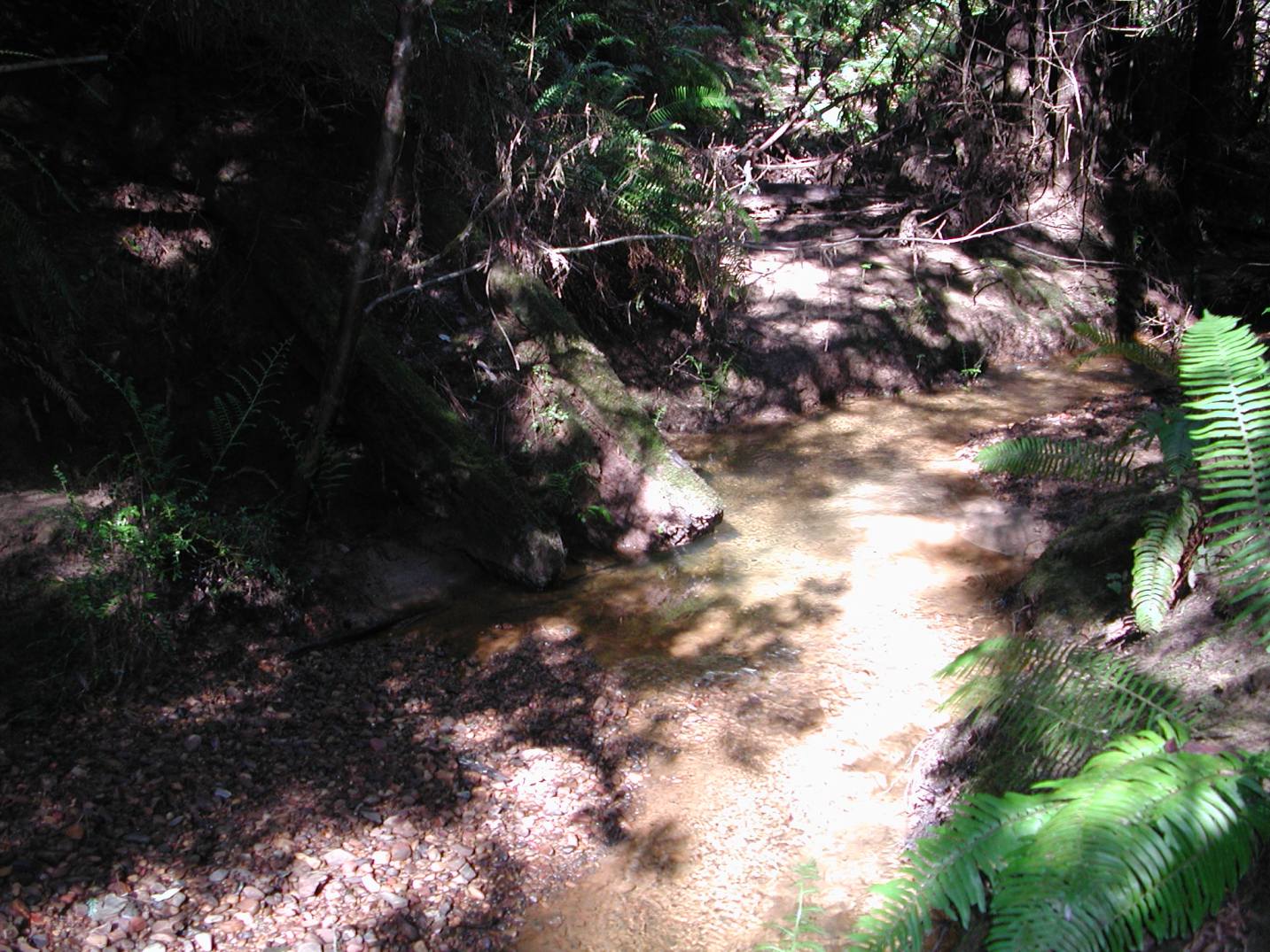
 Click on image to enlarge (76K). Click here to display a larger version (261K).
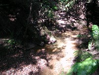
This picture is of the North Fork of Schooner Gulch above the road crossing and culvert. Note that the stream gravels on the terrace at left here look fairly clean. March 2002. Photo by Pat Higgins.
 Click on image to enlarge (83K). Click here to display a larger version (538K).
This photo shows the road going uphill beyond the NF Schooner Gulch crossing. March 2002. Photo by Pat Higgins.
 Click on image to enlarge (67K). Click here to display a larger version (464K).
This road is uphill of the NF Schooner Gulch crossing to the north. Note the gully forming in the middle and the eroding inboard ditch (at right). March 2002. Photo by Pat Higgins.
 Click on image to enlarge (69K). Click here to display a larger version (265K).
This mass of debris was stacked up adjacent to the culvert on the upstream side and shows the remnants of a past logging era. Most of the larger wood is very old. March 2002. Photo by Pat Higgins.
To learn more about this topic click Info Links
To view additional information (data source, aquisition date etc.) about this page, click Metadata

 Click on image to enlarge (73K). Click here to display a larger version (457K).
 Click on image to enlarge (85K). Click here to display a larger version (301K).
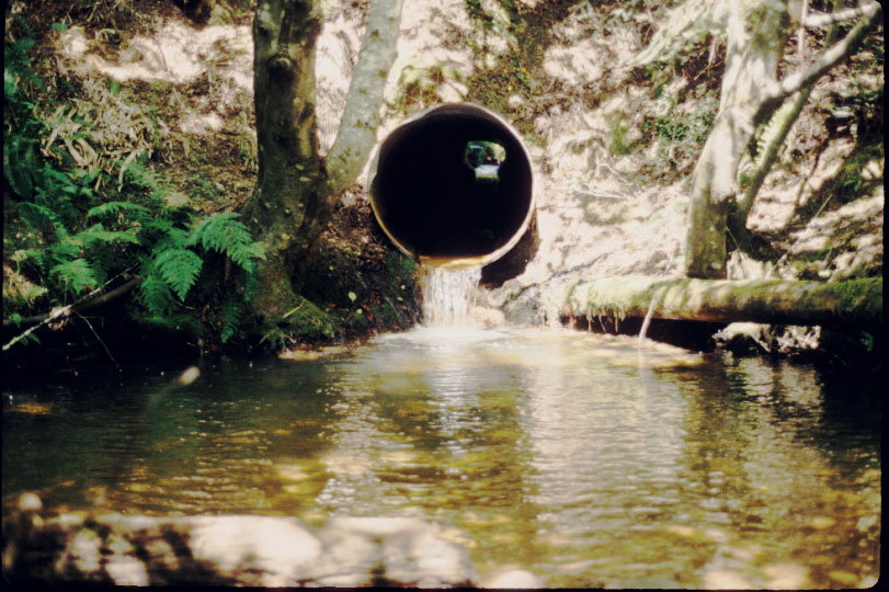 Click on image to enlarge (134K).
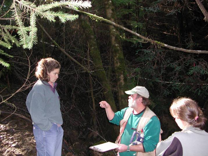 Click on image to enlarge (75K). Click here to display a larger version (269K).
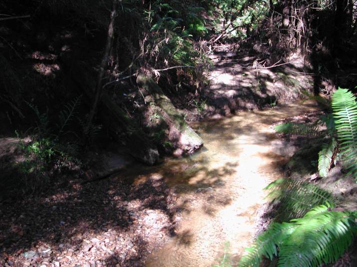 Click on image to enlarge (76K). Click here to display a larger version (261K).
 Click on image to enlarge (83K). Click here to display a larger version (538K).
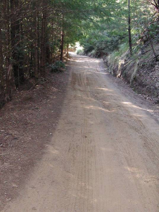 Click on image to enlarge (67K). Click here to display a larger version (464K).
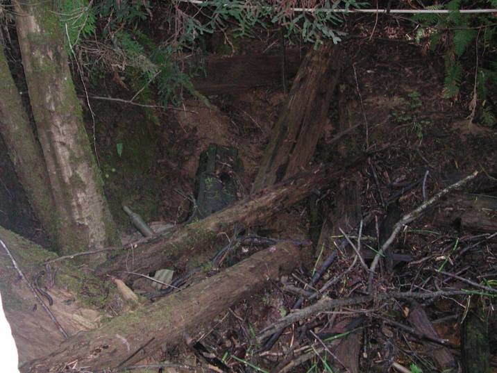 Click on image to enlarge (69K). Click here to display a larger version (265K).
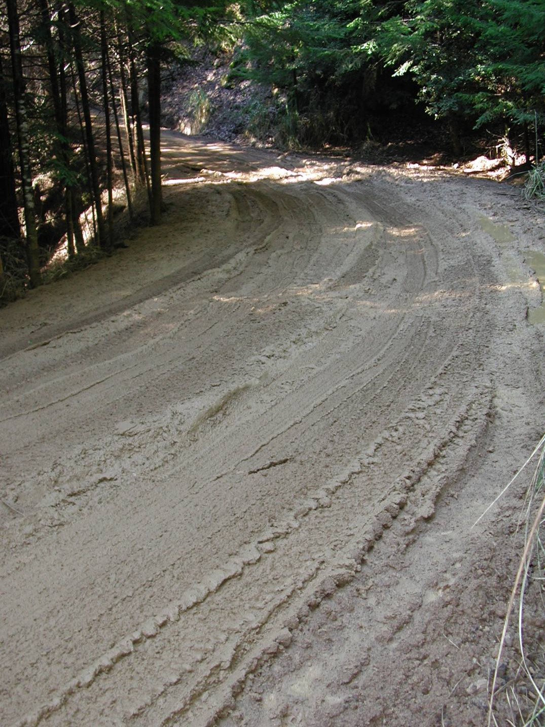