
|
Area/Topic | Bibliography | Background | Hypotheses | Home |
|
Map Page.
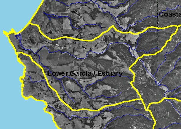
You selected the area Lower Garcia / Estuary and the topic Map: 3A Digital Orthophotos (DOQs), Lower Garcia / Estuary Sub-basin |
| This is a map showing digital orthophoto quarter-quadrangles (DOQs) in the Lower Garcia / Estuary sub-basin, which provides a detailed view of the landscape when at a close zoom. At this scale, note the patterns of the dunes to the north of the mouth of the Garcia, farmlands and grasslands in the middle of the sub-basin and coniferous forest dominating the eastern boundary. The town of Pt. Arena is just outside the lower boundary near its mid-point. | |||
|
|
||
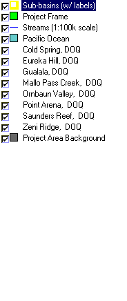
To view metadata about a map layer, click on a link in the table below.
| Name of Layer in Map Legend | Metadata File Name |
|---|---|
| Sub-basins (w/ labels) | subbasins.shp.txt |
| Project Frame | Unavailable |
| Streams (1:100k scale) | streams100.shp.txt |
| Pacific Ocean | Unavailable |
| Cold Spring, DOQ | coldspring.sid.txt |
| Eureka Hill, DOQ | eurekahill.sid.txt |
| Gualala, DOQ | gualala.sid.txt |
| Mallo Pass Creek, DOQ | mallopass.sid.txt |
| Ornbaun Valley, DOQ | ornbaun.sid.txt |
| Point Arena, DOQ | pointarena.sid.txt |
| Saunders Reef, DOQ | saundersreef.sid.txt |
| Zeni Ridge, DOQ | zeniridge.sid.txt |
| Gube Mountain, DOQ | gubemtn.sid.txt |
| McGuire Ridge, DOQ | mcguire.sid.txt |
| Topo Map (1:24k scale)(USGS) | Unavailable |
| Grayscale Hillshade (TIFF) | grayscale.tif.txt |
| Project Area Background | Unavailable |
| www.krisweb.com |