
| Area | Lower Garcia / Estuary |
| Topic | Stream Channel: Cross-Sections - Garcia Estuary XS-3, 1991-1998 |
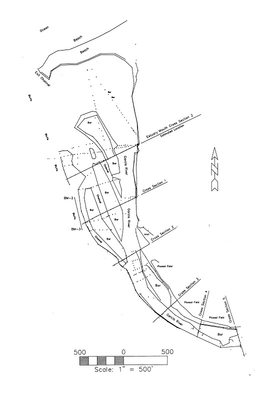
This image is a map of Garcia River Estuary showing cross-section locations. The map is from the Analysis of the 1998 Garcia Estuary Cross Sections (Jackson, 1998).
This image is a September 1992 aerial photo showing cross-section locations; adopted from the Analysis of the 1998 Garcia Estuary Cross Sections (Jackson, 1998).
Photo mosaic of September 1992 aerial photos showing the Garcia River Estuary. Ocean is to the left. This image is adopted from the Analysis of the 1998 Garcia Estuary Cross Sections (Jackson, 1998).
Fall 1998 oblique aerial photo of Garcia River Estuary. Ocean is to the left. This image is adopted from the Analysis of the 1998 Garcia Estuary Cross Sections (Jackson, 1998).
 Click on image to enlarge (49K).
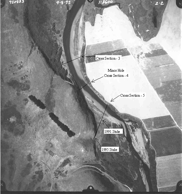 Click on image to enlarge (150K).
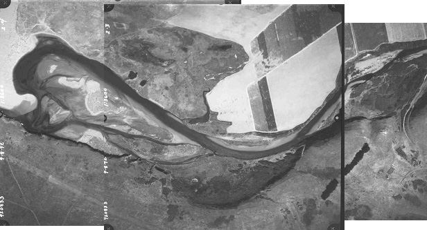 Click on image to enlarge (89K).
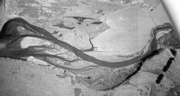 Click on image to enlarge (98K).
To learn more about this topic click Info Links
To view additional information (data source, aquisition date etc.) about this page, click Metadata
| www.krisweb.com |