| Area |
Lower Garcia / Estuary |
| Topic |
Tour: ATT Drilling Mud Spill, July 1992 |
 Click on image to enlarge (28K). Click here to display a larger version (218K).
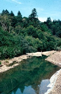
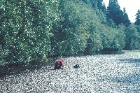
This photo shows a block net installed on the lower Garcia River above an un-named tributary above Windy Hollow which experienced an ATT drilling mud spill. The block nets were designed to keep fish from passing downstream in the vicinity of the spill. For more information about the spill and its effects and mitigation see InfoLinks. Photo by Pat Higgins. July 31, 1992.
 Click on image to enlarge (26K). Click here to display a larger version (258K).
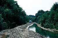
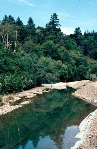
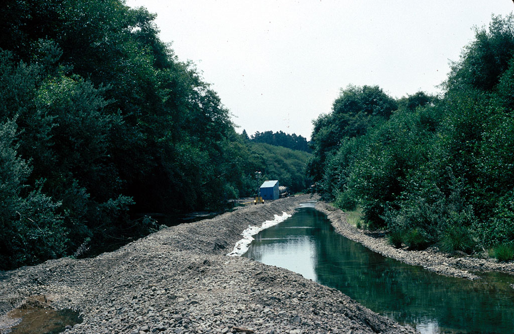
This photo was taken near the same place as Picture #1 but but further downstream at the site of the clean up. The flow of the river has been routed around the spill impacted tributary with the berm at left preventing contact at the mouth of the small stream. The large trucks were used to store drilling mud vacuumed from the river and tributary and to take them away form the site. For more information about the spill and its effects and mitigation see InfoLinks. Photo by Pat Higgins. July 31, 1992.
 Click on image to enlarge (165K).
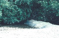
This berm was erected immediately above the tributary impacted by the ATT drilling mud spill. For more information about the spill and its effects and mitigation see InfoLinks. Photo by Pat Higgins. July 31, 1992.
 Click on image to enlarge (175K).
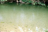
This photo shows the impacted tributary below where drilling muds had been spilled into the creek. This creek had a colony of Pt Arena mountain beaver and a coho salmon juvenile was found by the California Department of Fish and Game. For more information about the spill and its effects and mitigation see InfoLinks. Photo by Pat Higgins. July 31, 1992.
 Click on image to enlarge (139K).
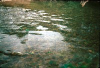
The bottom of the Garcia River downstream of the spill was covered with drilling muds, which are mostly bentonite clay, a relatively inert substance. The clay did smother some aquatic insect species and major differences were seen in the community upstream and downstream of the spill. For more information about the spill and its effects and mitigation see InfoLinks. Photo by Pat Higgins. July 31, 1992.
 Click on image to enlarge (170K).
This picture shows clean gravels above the ATT spill that were sampled for aquatic invertebrates. For more information about the spill and its effects and mitigation see InfoLinks. Photo by Pat Higgins. July 31, 1992.
 Click on image to enlarge (48K). Click here to display a larger version (241K).
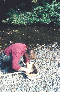
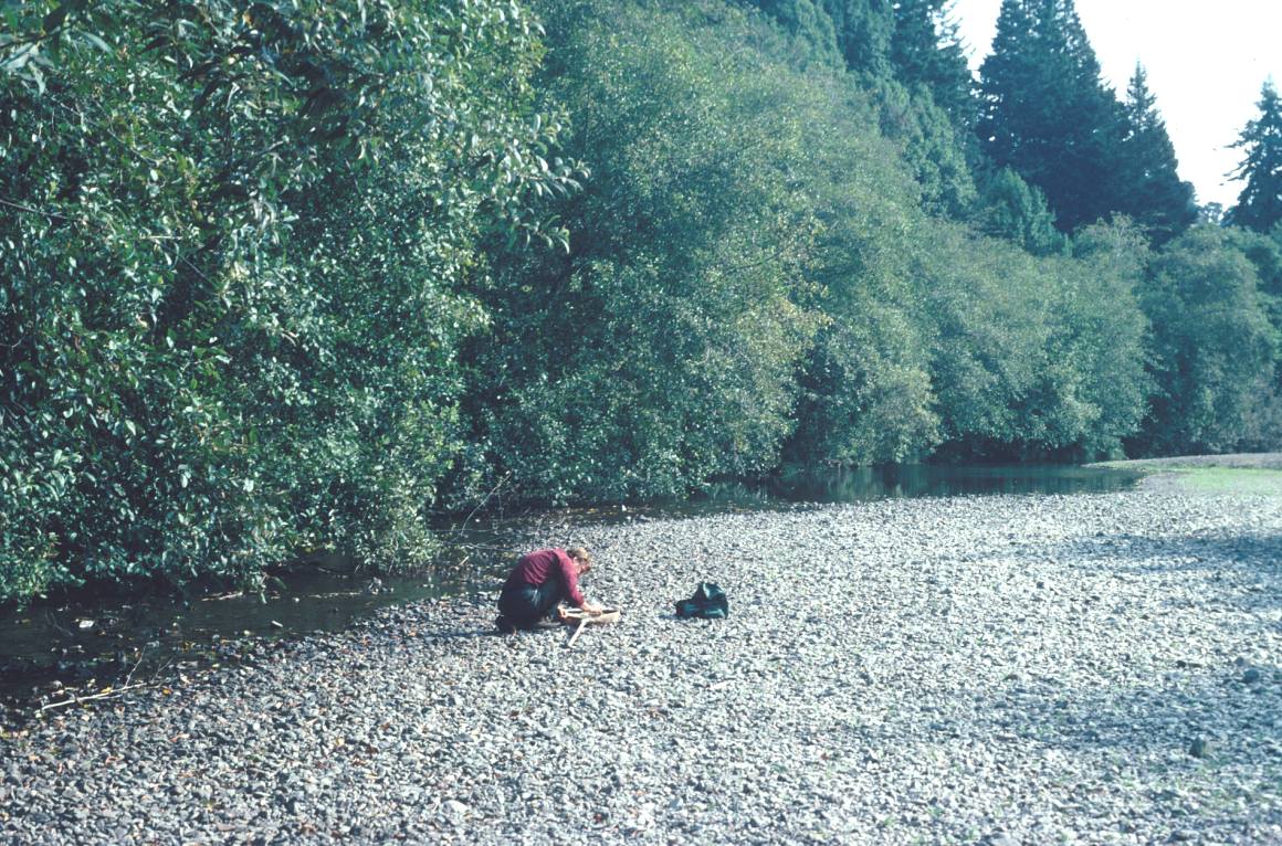
John Lee collects an aquatic invertebrate sample in the Garcia River above the drilling mud spill site. For more information about the spill and its effects and mitigation see InfoLinks. Photo by Pat Higgins. August 2, 1992.
 Click on image to enlarge (42K). Click here to display a larger version (180K).
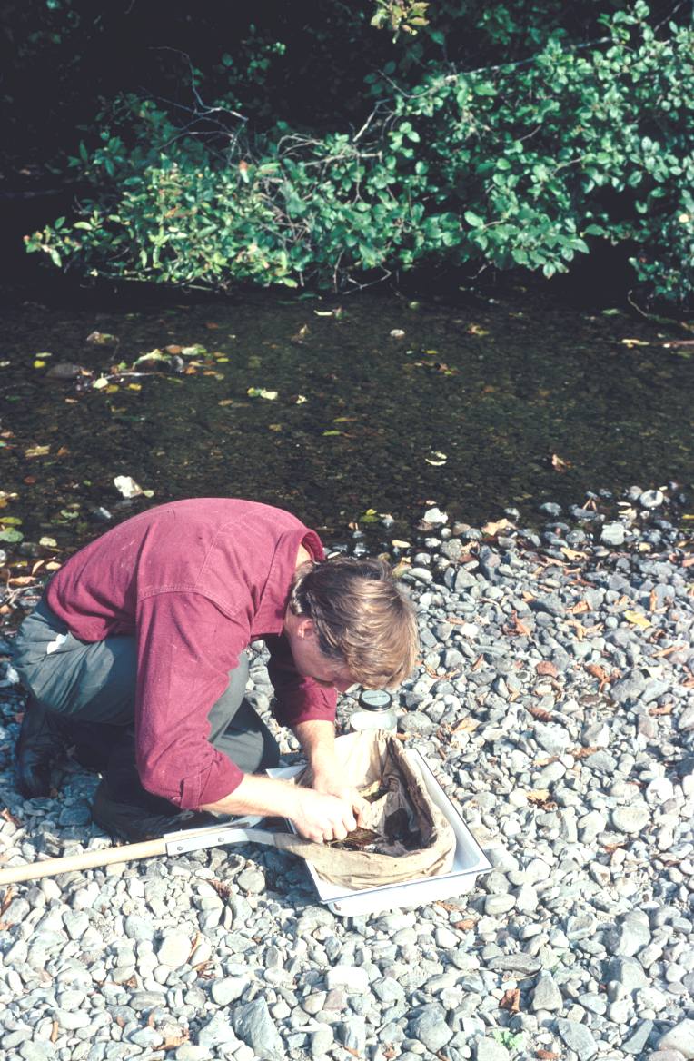
Aquatic entomologist John Lee picks aquatic insects from his kick net used to sample the Garcia River above the ATT drilling mud site on August 2, 1992 five days after the spill. For more information about the spill and its effects and mitigation see InfoLinks. Photo by Pat Higgins.
To learn more about this topic click Info Links
To view additional information (data source, aquisition date etc.) about this page, click Metadata

 Click on image to enlarge (28K). Click here to display a larger version (218K).
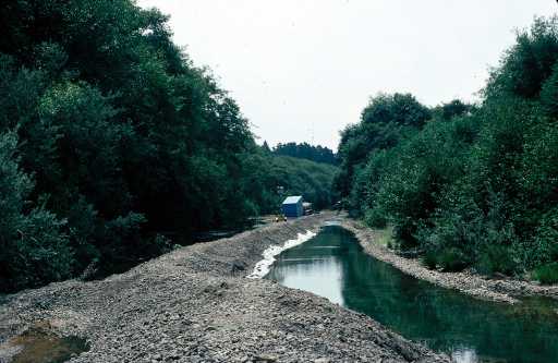 Click on image to enlarge (26K). Click here to display a larger version (258K).
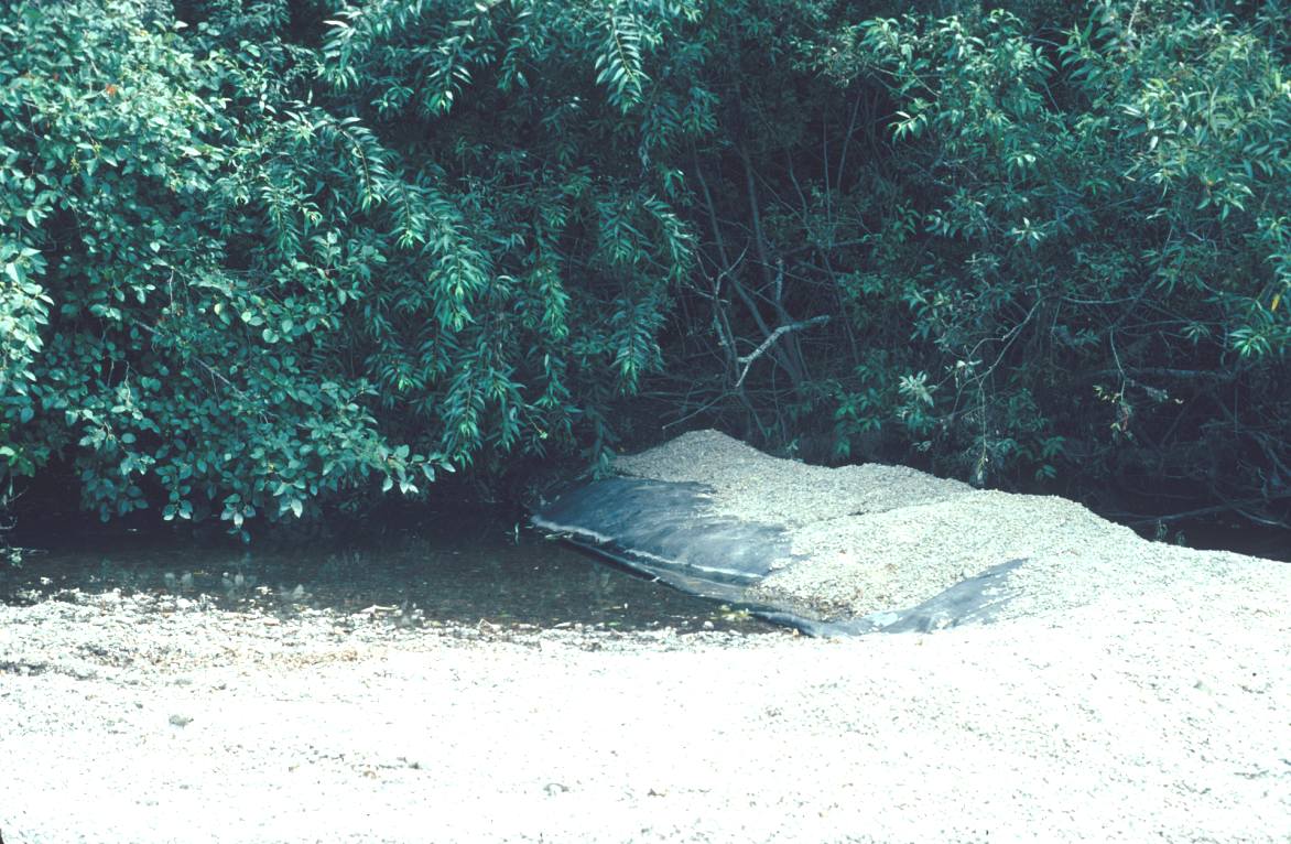 Click on image to enlarge (165K).
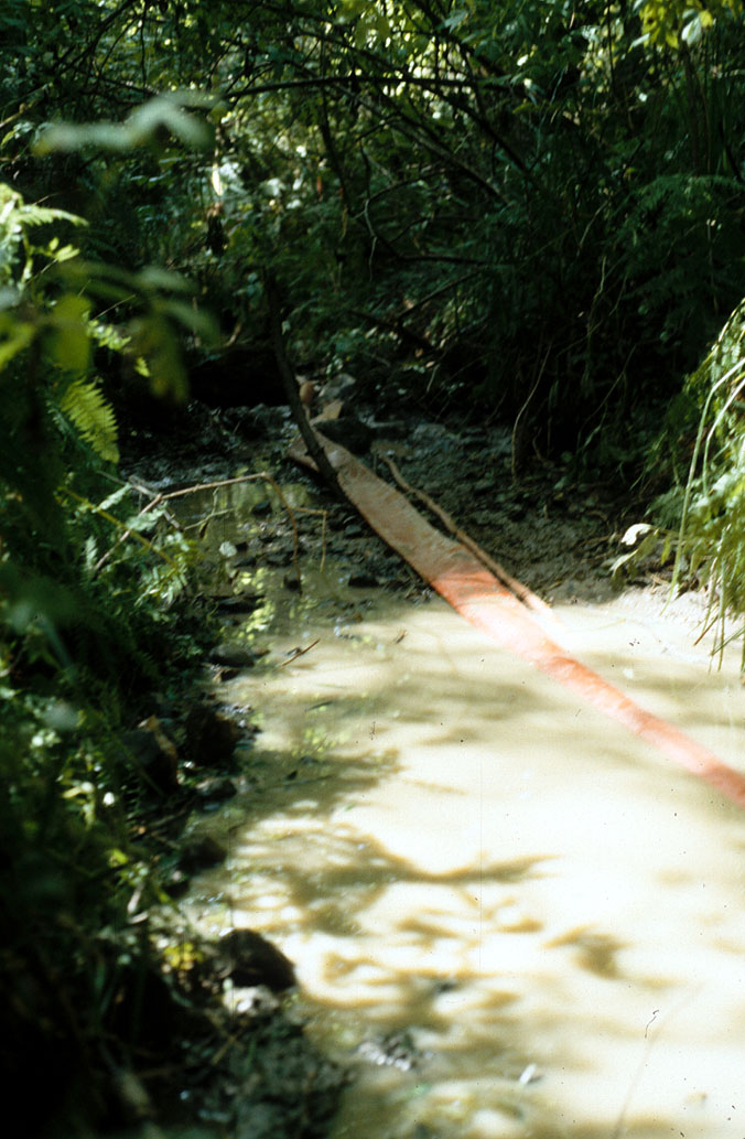 Click on image to enlarge (175K).
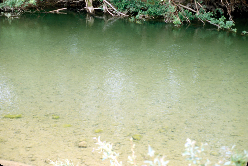 Click on image to enlarge (139K).
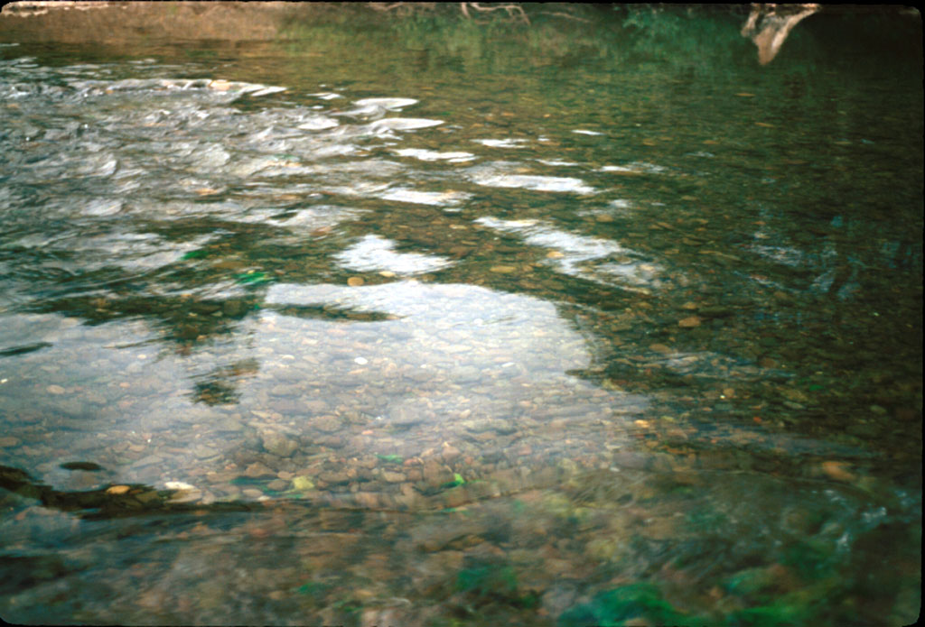 Click on image to enlarge (170K).
 Click on image to enlarge (48K). Click here to display a larger version (241K).
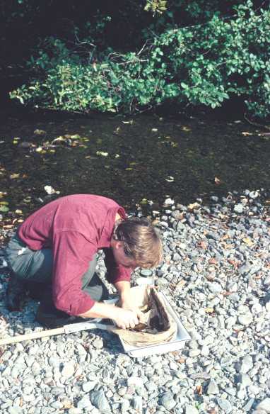 Click on image to enlarge (42K). Click here to display a larger version (180K).
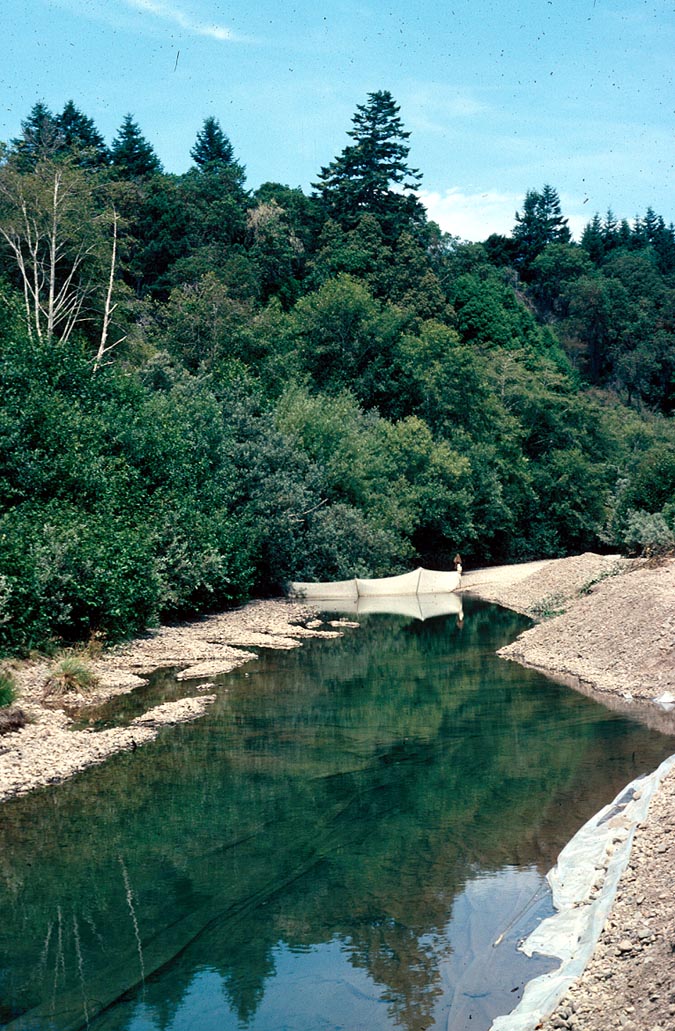