| Area |
Lower Garcia / Estuary |
| Topic |
Tour: Aerials 2000 #2 Lower Garcia @ Oz |
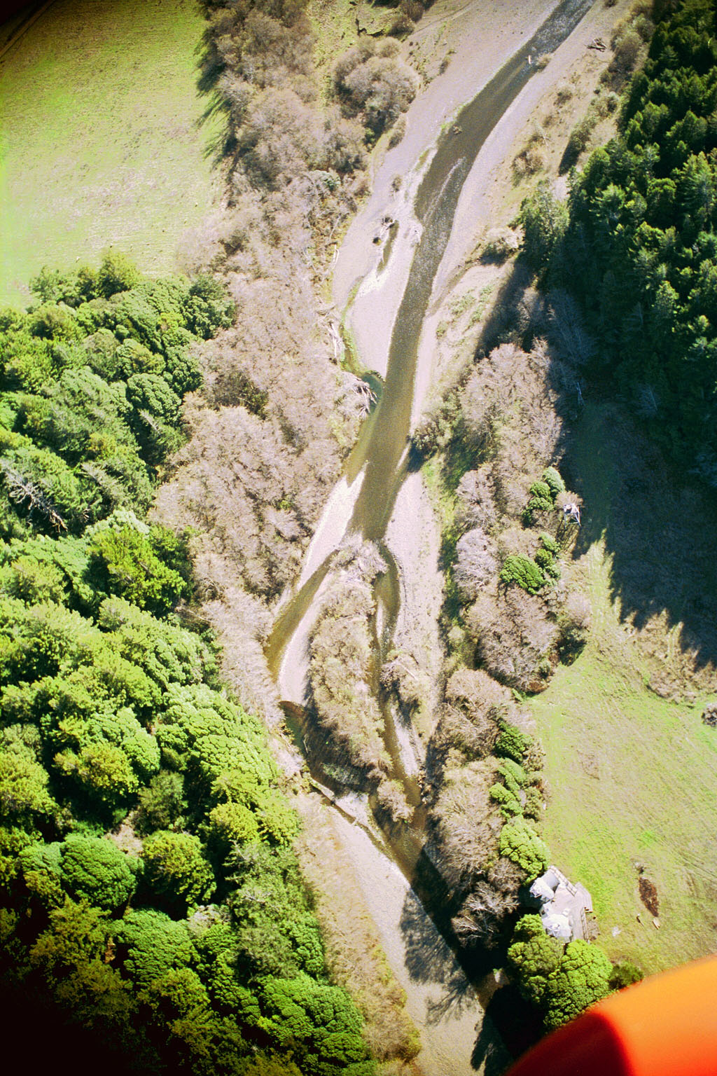
 Click on image to enlarge (43K). Click here to display a larger version (429K).
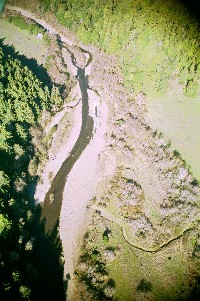
This aerial photo taken in the year 2000 shows the Garcia River at the top of the Hooper property (Oz). The river forms a braided channel near the top of the photo, whereas formerly the entire channel was on the right, forming the Oz Hole. The latter has been monitored for several years for water temperature by FROG. Photo provided by Peter Dobbins and Friends of the Garcia River.
 Click on image to enlarge (53K). Click here to display a larger version (533K).
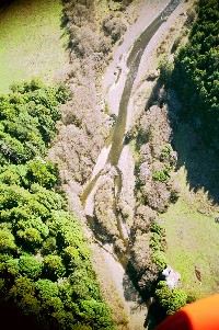
This photo taken in the year 2000 shows the same reach as Picture #1, but looking upstream and at a slightly lower altitude. The Oz Hole shows in the photo near lower center. Considerable mid-winter steelhead spawning activity was noticed in the mainstem Garcia in the reach above the braided channel in 2002. Photo provided by Peter Dobbins and Friends of the Garcia River.
 Click on image to enlarge (25K). Click here to display a larger version (251K).
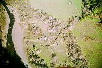
Spur road from the Hooper ranch joins the Garcia River bar in the reach below the Oz Hole. A small, unnamed tributary crosses in perpendicularly from the right. Photo provided by Peter Dobbins and Friends of the Garcia River.
 Click on image to enlarge (47K). Click here to display a larger version (431K).
Looking upstream at Oz with the Oz Hole near the top of the photo at center-left. Photo provided by Peter Dobbins and Friends of the Garcia River.
To learn more about this topic click Info Links
To view additional information (data source, aquisition date etc.) about this page, click Metadata

 Click on image to enlarge (43K). Click here to display a larger version (429K).
 Click on image to enlarge (53K). Click here to display a larger version (533K).
 Click on image to enlarge (25K). Click here to display a larger version (251K).
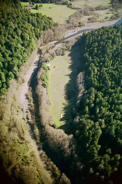 Click on image to enlarge (47K). Click here to display a larger version (431K).