| Area |
Lower Garcia / Estuary |
| Topic |
Tour: Lower Hathaway Creek |
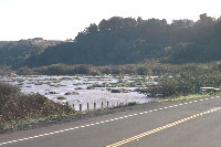 Click on image to enlarge (129K).
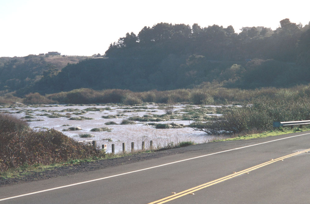
This photo shows Hathaway Creek backed up by the road prism of Highway 1 just above where it joins the Garcia River estuary. Photo by Craig Bell.
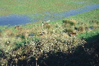 Click on image to enlarge (28K). Click here to display a larger version (253K).
The wetlands shown here are adjacent to Hathaway Creek, with deer coming down to graze during this sunny, winter day. Photo by Craig Bell.
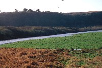
 Click on image to enlarge (25K). Click here to display a larger version (225K).
Looking upstream form the Highway 1 road prism at submerged wetlands in the flood plain of Hathaway Creek. Photo by Craig Bell.
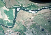
 Click on image to enlarge (170K).
Hathaway Creek is shown here flowing north towards its convergence with the Garcia River estuary, not far downstream. The creek is outside its normal riparian confines during low water and instead is filling the pasture area adjacent to the channel. Photo courtesy of Craig Bell.
 Click on image to enlarge (121K).
Hathaway Creek parallels the Miner Creek Road at upper left, which provides access to the Garcia River estuary from Highway 1. The riparian zone has been narrowed to provide additional farm land. Photo courtesy of Peter Dobbins and Friends of the Garcia River.
To learn more about this topic click Info Links
To view additional information (data source, aquisition date etc.) about this page, click Metadata

 Click on image to enlarge (129K).
 Click on image to enlarge (28K). Click here to display a larger version (253K).
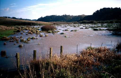 Click on image to enlarge (25K). Click here to display a larger version (225K).
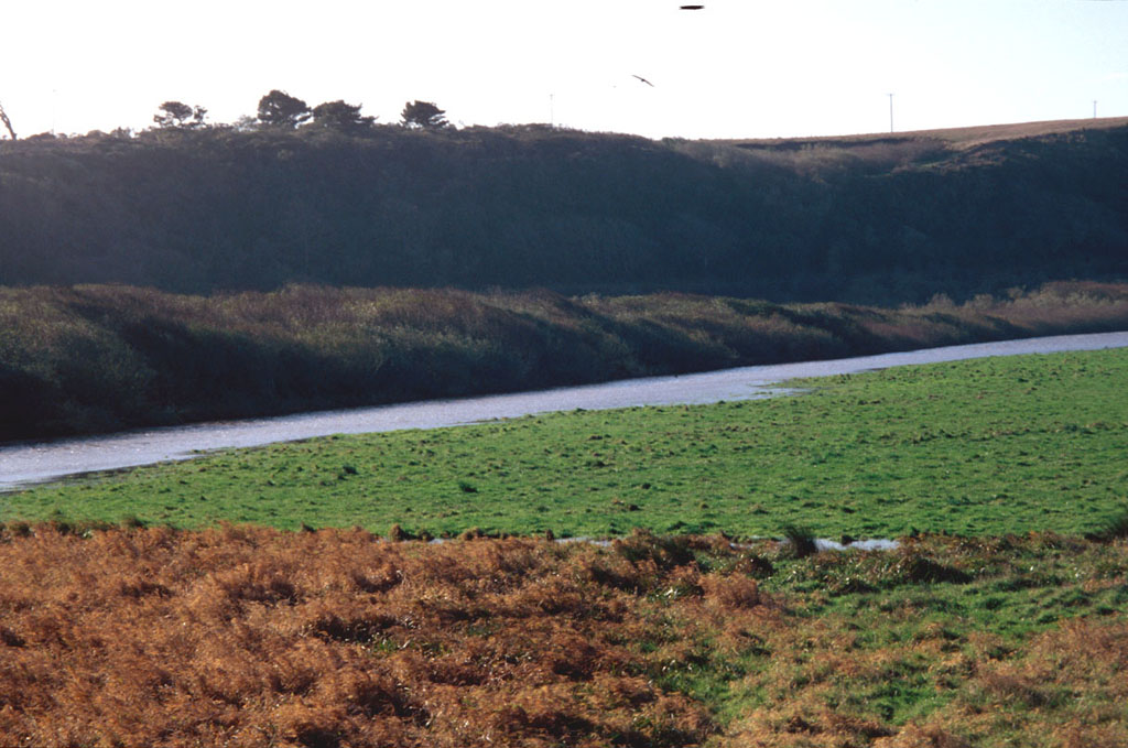 Click on image to enlarge (170K).
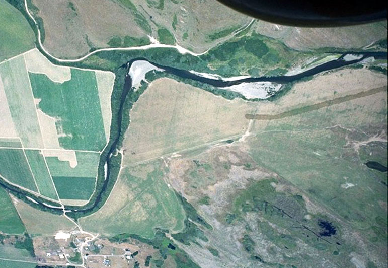 Click on image to enlarge (121K).