| Area |
Lower Garcia / Estuary |
| Topic |
Tour: River Level #1 Lower Garcia at North Fork and Below |
 Click on image to enlarge (31K). Click here to display a larger version (287K).
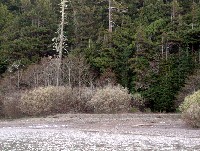
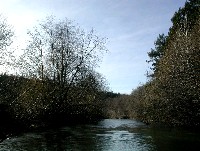
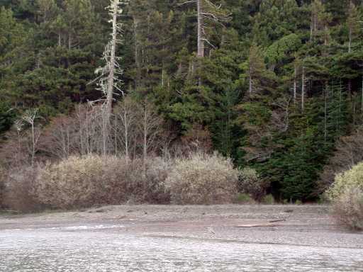
This photo shows the mainstem Garcia River in the foreground with the North Fork entering from the right. Note the delta at the mouth of the North Fork. Photo by Pat Higgins. February 2002.
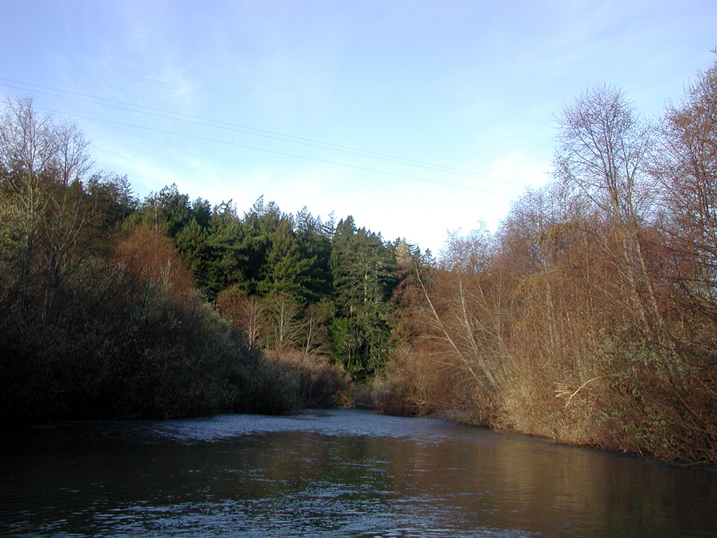
 Click on image to enlarge (22K). Click here to display a larger version (201K).
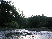
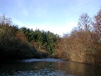
Looking up the North Fork Garcia from the mainstem with a better view of the delta. Deltas are formed by sediment coming from tributary streams but also from back pressure created during high flows from the mainstem. Photo by Pat Higgins. February 2002.
 Click on image to enlarge (31K). Click here to display a larger version (303K).
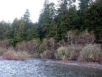
This photo shows the mainstem Garcia River below the North Fork, with Buckridge Bar out of view to the left. The Garcia River here has maintained a stable channel along the north bank after gravel operations ceased here circa 1994. See Picture #4 to see stable, narrow channel that provides excellent summer rearing habitat for juvenile steelhead. Photo by Pat Higgins. February 2002.
 Click on image to enlarge (33K). Click here to display a larger version (229K).
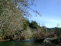
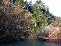
This is the Garcia River just downstream of the North Fork in a narrow slot with willow and alder riparian that has developed since gravel mining ceased at this location. Note how the willows and alders naturally recruit gravel and soil on the downstream side, thus building the bar and helping the river maintain a defined and more complex channel. Photo by Pat Higgins. February 2002.
 Click on image to enlarge (177K).
This photo was taken looking downstream at the same location as Picture #4 with the Garcia River mainstem going from a pool into a run on a February morning in 2002. Photo by Pat Higgins.
 Click on image to enlarge (104K).
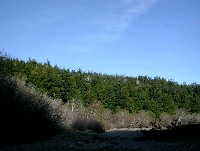
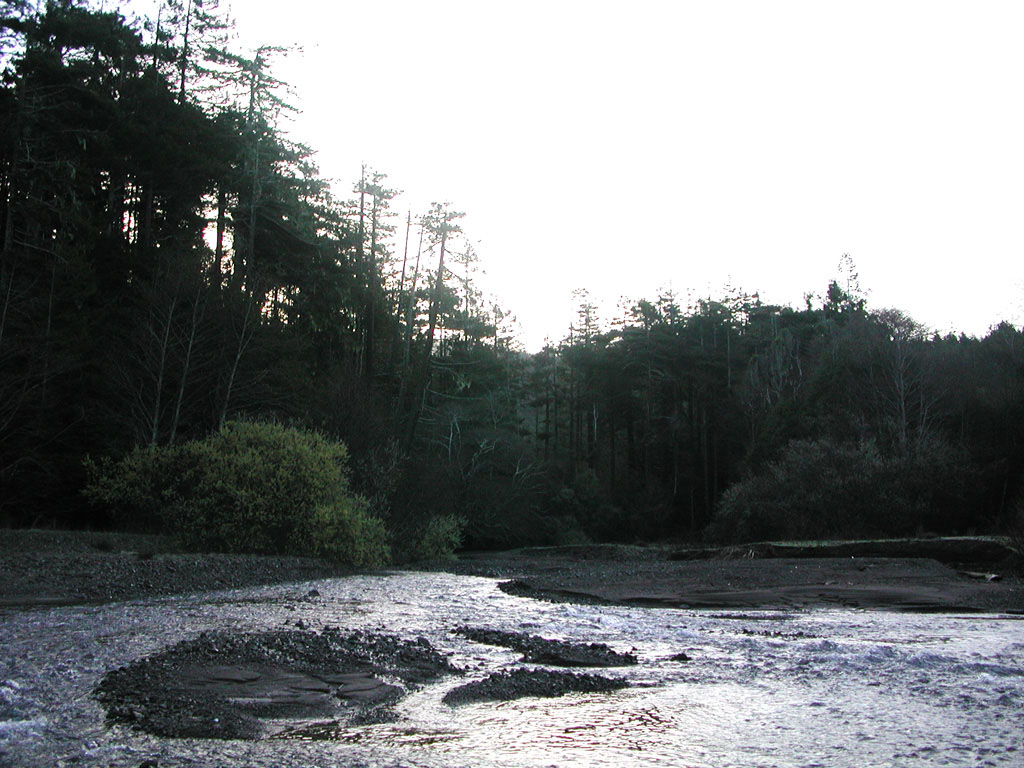
The riparian zone further below the North Fork is shown looking northwest near Conner Hole, where the Garcia makes a 90 degree turn. The conifers provide direct shade and overstory on the far bank, but a mature alder canopy has also developed on the near bank. The flood terrace with gravel behind the alders is only occupied during high flows. Photo by Pat Higgins. February 2002.
 Click on image to enlarge (20K). Click here to display a larger version (210K).
The mainstem Garcia River makes a transition from a run to a riffle before turning right at Conner Hole, just short of the large conifers. Photo by Pat Higgins. February 2002.
 Click on image to enlarge (39K). Click here to display a larger version (365K).
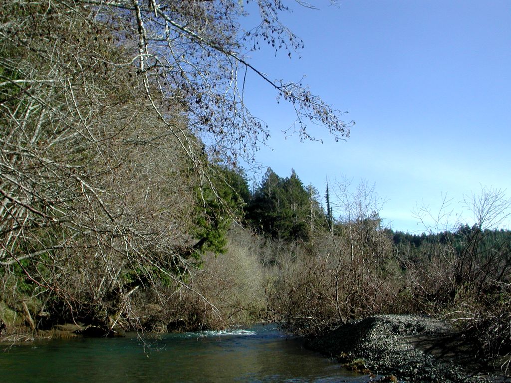
The constriction of the flow of the Garcia River between encroaching riparian thickets and the piece of large wood debris causes scour in the upper Conner Hole and creates ideal steelhead habitat. See Fish: 2002 Dive Salmonid Count Garcia (GAR_7) @ Upper Conner to see how many juvenile steelhead were in this habitat in August 2002. Photo by Pat Higgins. February 2002.
To learn more about this topic click Info Links
To view additional information (data source, aquisition date etc.) about this page, click Metadata

 Click on image to enlarge (31K). Click here to display a larger version (287K).
 Click on image to enlarge (22K). Click here to display a larger version (201K).
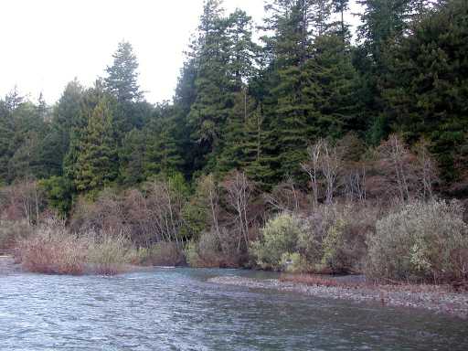 Click on image to enlarge (31K). Click here to display a larger version (303K).
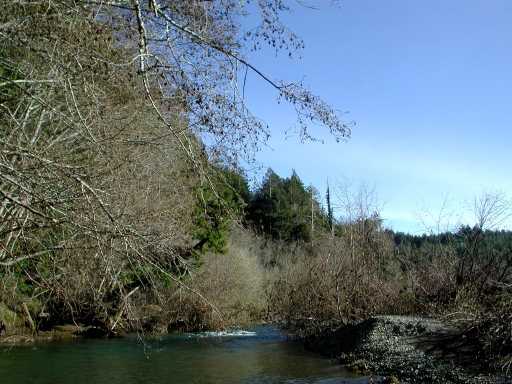 Click on image to enlarge (33K). Click here to display a larger version (229K).
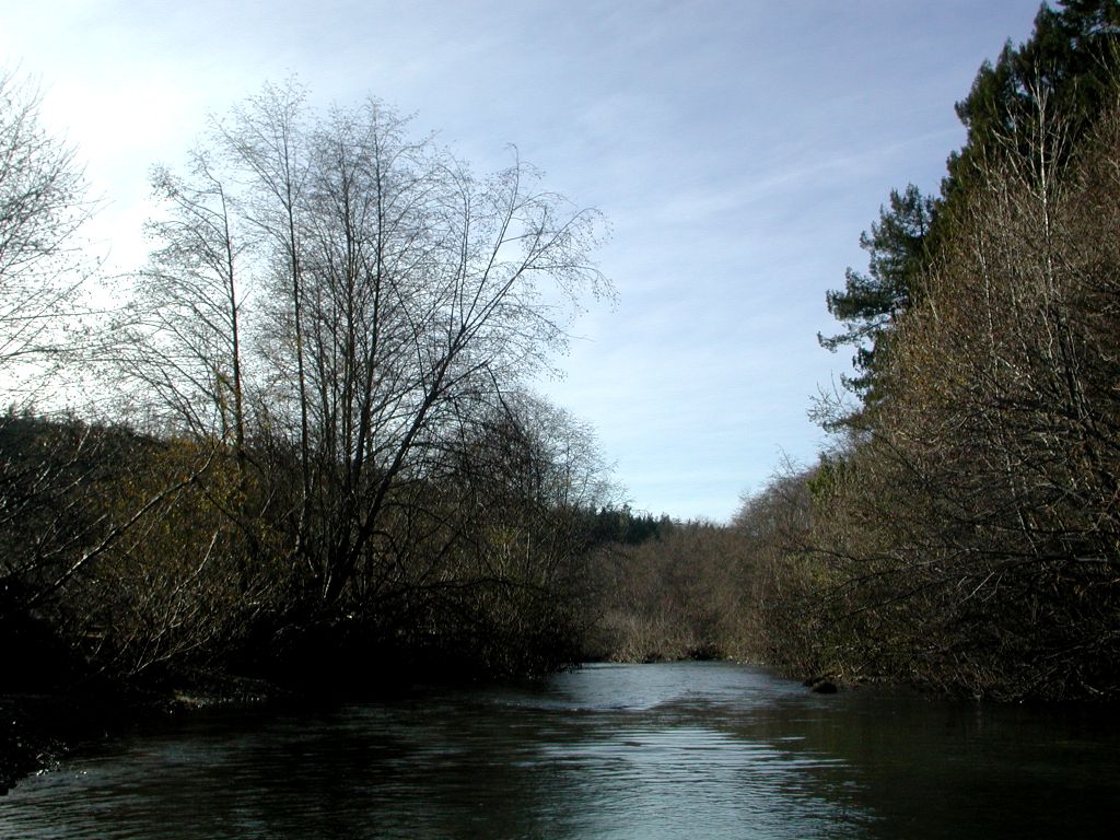 Click on image to enlarge (177K).
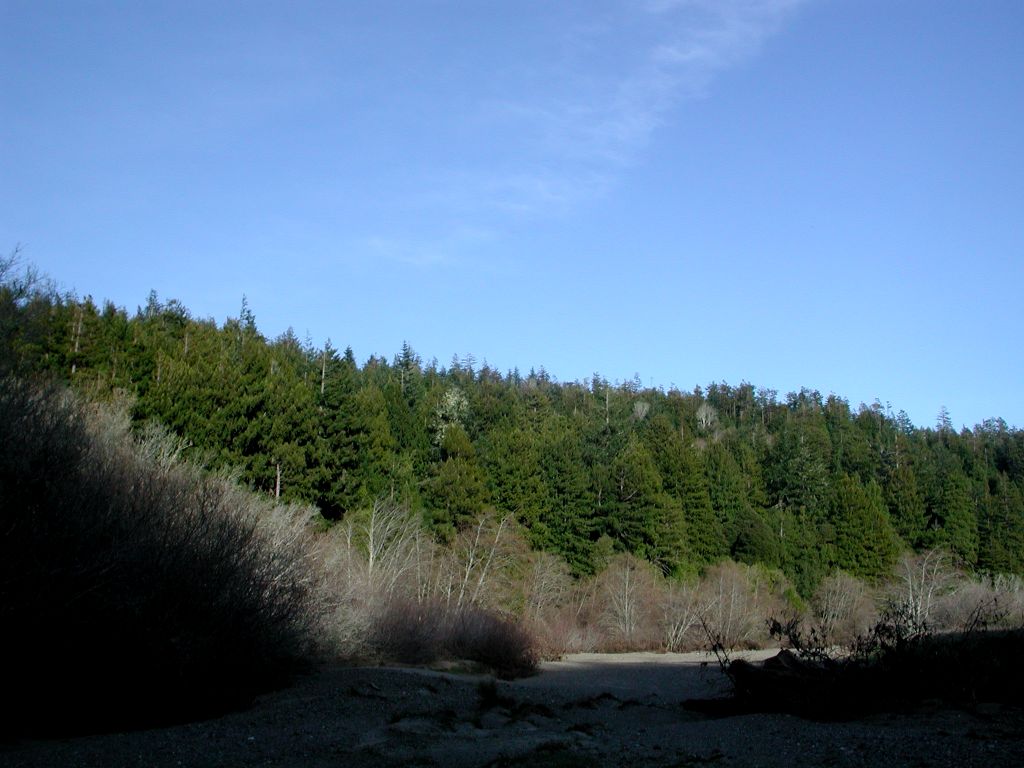 Click on image to enlarge (104K).
 Click on image to enlarge (20K). Click here to display a larger version (210K).
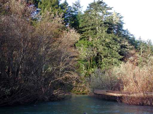 Click on image to enlarge (39K). Click here to display a larger version (365K).