
|
Area/Topic | Bibliography | Background | Hypotheses | Home |
|
Map Page.
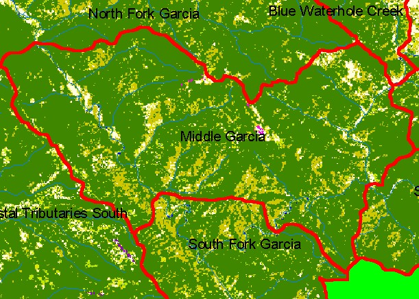
You selected the area Middle Garcia and the topic Map: 1C EPA Landcover/Landuse, Middle Garcia Sub-basin |
| This is a map of the 1992 U.S. Environmental Protection Agency Landcover/Landuse in the Middle Garcia sub-basin. These data are derived from a 1992 Landsat image and show that much of the sub-basin is coniferous forest. Patches of mixed conifer hardwood, grasslands, and herbaceous plants are likely due to a combination of recent timber harvests, Franciscan melange geology, and other factors. Scale = 1:82,686 . | |||
|
|
||
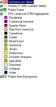
To view metadata about a map layer, click on a link in the table below.
| Name of Layer in Map Legend | Metadata File Name |
|---|---|
| Sub-basins (w/ labels) | subbasins.shp.txt |
| Streams (1:100k scale)(no labels) | streams100.shp.txt |
| Project Frame | Unavailable |
| EPA Landcover (1992 Aggregated) | lndcov2.tif.txt |
| EPA Landcover (1992) | lndcov.tif.txt |
| Topo Map (1:24k scale)(USGS) | Unavailable |
| Project Area Background | Unavailable |
| www.krisweb.com |