
|
Area/Topic | Bibliography | Background | Hypotheses | Home |
|
Map Page.
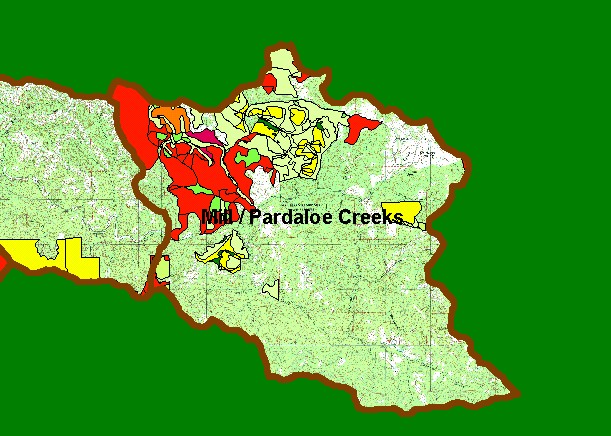
You selected the area Mill/Pardaloe Creeks and the topic Map: 1F Timber Harvest 1987-2002, Mill/Pardaloe Sub-basin |
| This is a map of timber harvests permitted by the California Department of Forestry (CDF) in the Mill/Pardaloe KRIS Garcia sub-basin between 1987 and 2002. There has been very little timber harvest in Pardaloe Creek, but widespread timber harvest has taken place in lower Mill Creek. None of these timber harvests were clear cuts, however, and selective harvests may have less negative effects on water quality. Data were provided by the California Department of Forestry, Santa Rosa. Scale = 1:84,494 . | |||
|
|
||
To view metadata about a map layer, click on a link in the table below.
| Name of Layer in Map Legend | Metadata File Name |
|---|---|
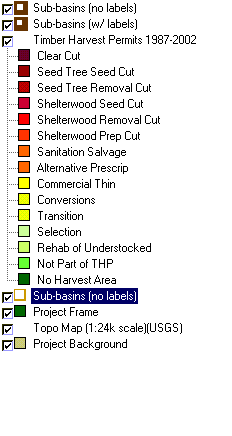
| Sub-basins (no labels) | subbasins.shp.txt |
| Sub-basins (w/ labels) | subbasins.shp.txt |
| Change in Vegetation (1994-98)(TIFF) | vegchg.tif.txt |
| Timber Harvest Permits 1987-2002 | silvicul87_01.shp.txt |
| USFS Riparian Veg Size (1994)(TIFF) | vegsizebuf.tif.txt |
| USFS Vegetation Size (1994)(TIFF) | vegsize.tif.txt |
| Sub-basins (no labels) | subbasins.shp.txt |
| Project Frame | Unavailable |
| Topo Map (1:24k scale)(USGS) | Unavailable |
| Grayscale Hillshade (TIFF) | grayscale_light.tif.txt |
| Project Background | Unavailable |
| www.krisweb.com |