|
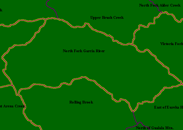
This is a map of the Calwater Planning Watersheds (purple outlines with black labels) in the North Fork Garcia sub-basin, overlaid
on top of KRIS sub-basins (yellow outlines). The North Fork Garcia River Calwater Planning Watershed and the North Fork
Garcia KRIS sub-basin are synonymous. A reach of the mainstem Garcia.River runs through the west (at left) of this Calwater.
Olsen Creek and Olsen Gulch, tributaries of the mainstem Garcia downstream of the North Fork are also within this sub-basin. Scale = 1:78,892 .
|
|