
|
Area/Topic | Bibliography | Background | Hypotheses | Home |
|
Map Page.
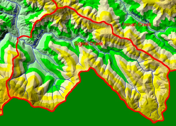
You selected the area Signal Creek and the topic Map: 1B Hydrography with DEM, Signal Creek Sub-basin |
| This is a map of the 1:24,000 scale USGS hydrography in the Signal Creek sub-basin, overlaid on top of an elevation hillshade and KRIS sub-basins. In the eastern third of the sub-basin (at right), Signal Creek splits into the North Fork Signal Creek and South Fork Signal Creek. The 10 Meter DEM data on which the hillshade is based is from the California Department of Forestry. Scale = 1:42,349 . | |||
|
|
||
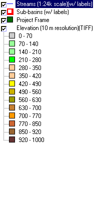
To view metadata about a map layer, click on a link in the table below.
| Name of Layer in Map Legend | Metadata File Name |
|---|---|
| Streams (1:24k scale)(w/ labels) | streams24.shp.txt |
| Sub-basins (w/ labels) | subbasins.shp.txt |
| Project Frame | Unavailable |
| Elevation (10 m resolution)(TIFF) | elev10.tif.txt |
| Topo Map (1:24k scale)(USGS) | Unavailable |
| www.krisweb.com |