
|
Area/Topic | Bibliography | Background | Hypotheses | Home |
|
Map Page.
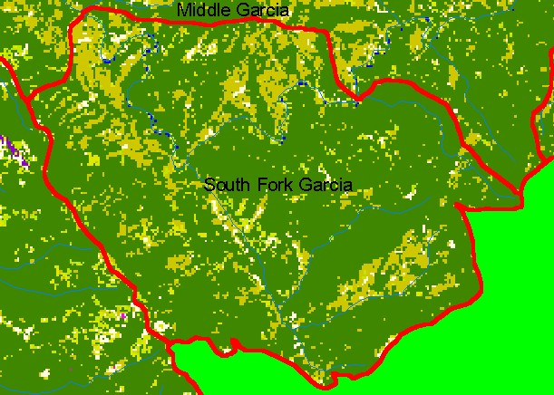
You selected the area South Fork Garcia and the topic Map: 1C EPA Landcover/Landuse, South Fork Garcia Sub-basin |
| This is a map of the 1992 U.S. Environmental Protection Agency Landcover/Landuse in the South Fork Garcia sub-basin. These data are derived from a 1992 Landsat image and show that much of the sub-basin is coniferous forest. Patches of mixed conifer hardwood, grasslands, and herbaceous are likely due to early seral conditions related to timber harvests, as there are no natural grasslands or oak woodlands in this area. Scale = 1:47,216 . | |||
|
|
||
To view metadata about a map layer, click on a link in the table below.
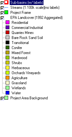
| Name of Layer in Map Legend | Metadata File Name |
|---|---|
| Sub-basins (w/ labels) | subbasins.shp.txt |
| Streams (1:100k scale)(no labels) | streams100.shp.txt |
| Project Frame | Unavailable |
| EPA Landcover (1992 Aggregated) | lndcov2.tif.txt |
| EPA Landcover (1992) | lndcov.tif.txt |
| Topo Map (1:24k scale)(USGS) | Unavailable |
| Project Area Background | Unavailable |
| www.krisweb.com |