|
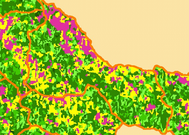
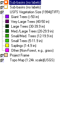
This is a map of 1994 vegetation size data in the Upper Garcia sub-basin, overlaid on top of KRIS sub-basins and 1:24,000 streams.
The tree size classifications were derived from Landsat multi-spectral images taken in 1994. Stand conditions are accurately
represented at the one hectare scale. Much of the uplands along the northeastern border of the Upper Garcia sub-basin are
covered by grasslands, which show as large contiguous areas of non-forest. The south western portion of the watershed has early
seral conditions due to recent timber harvest. See the DOQ Map Topic to see a photo of this pattern. Data were provided by the
U.S. Forest Service Pacific Southwest Region Remote Sensing Lab, in cooperation with the California Department of Forestry.
|
|