| Area |
Estuary |
| Topic |
Tour: Gualala Estuary Photos CDMG 2001 |
 Click on image to enlarge (88K). Click here to display a larger version (254K).
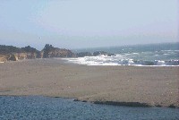
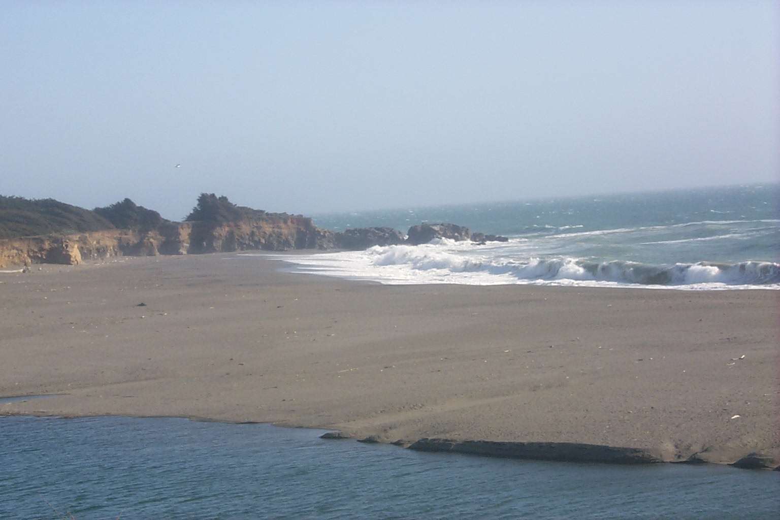
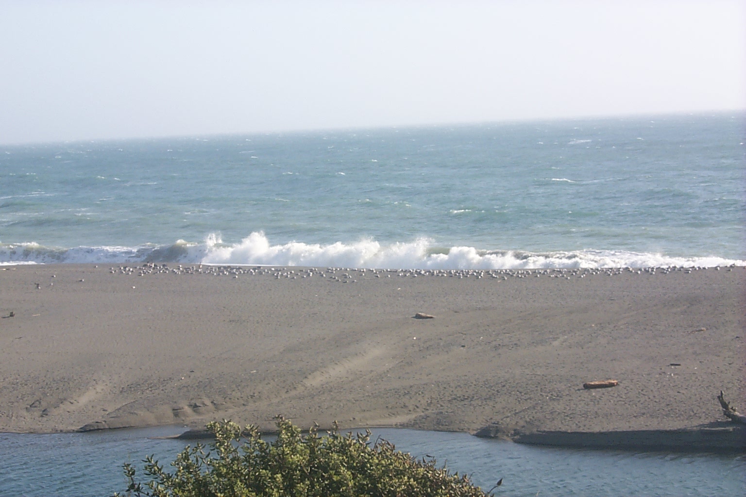
Gualala River estuary in the foreground when it was still open to the ocean on May 1, 2001. A bar forms and the estuary becomes a lagoon during low flows in summer. Photo courtesy California Division of Mines and Geology, North Coast Watershed Assessment Program.
 Click on image to enlarge (115K). Click here to display a larger version (314K).
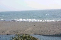
Gualala River estuary in the foreground with shore break and seagulls. Photo courtesy California Division of Mines and Geology, North Coast Watershed Assessment Program. 5/1/01.
 Click on image to enlarge (108K). Click here to display a larger version (301K).
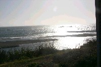
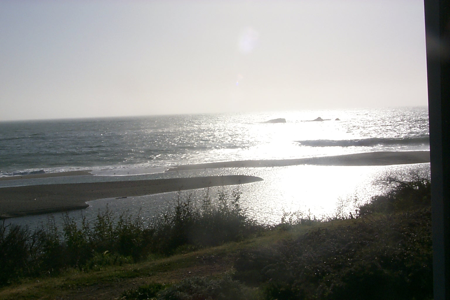
Mouth of Gualala River still spilling into the ocean on May 1, 2001. The bar is forming which will block the connection to the sea during subsequent low flows in summer. Photo courtesy California Division of Mines and Geology, North Coast Watershed Assessment Program.
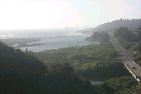
 Click on image to enlarge (103K). Click here to display a larger version (375K).
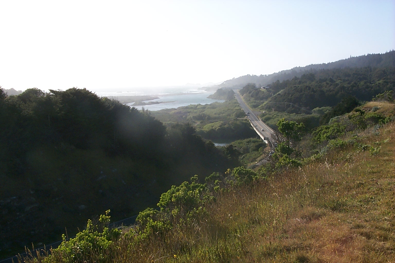
Gualala River estuary in the distance with Highway 1 Bridge over the Gualala River at right. See next picture (#5) for zoom. Photo courtesy California Division of Mines and Geology, North Coast Watershed Assessment Program. May 1, 2001.
 Click on image to enlarge (74K). Click here to display a larger version (227K).
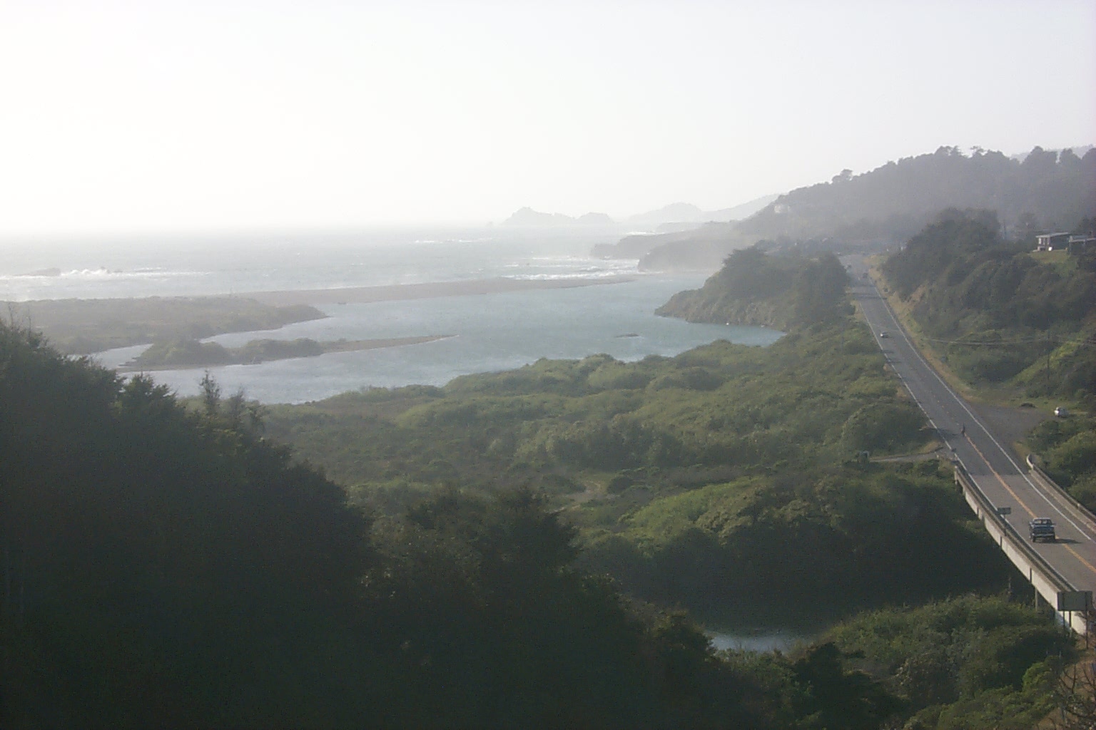
Zoom shot of Gualala River estuary from same location as Picture #4. The Highway 1 Bridge over the Gualala River is at right. Photo courtesy California Division of Mines and Geology, North Coast Watershed Assessment Program. May 1, 2001.
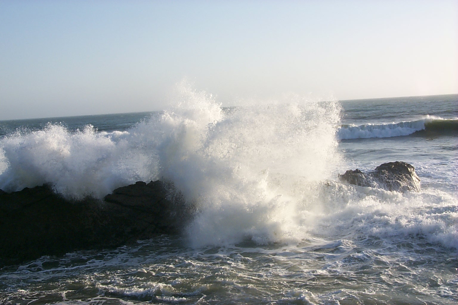
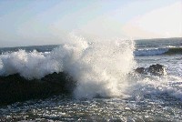 Click on image to enlarge (97K). Click here to display a larger version (335K).
Wave bashes rock off mouth of Gualala. Photo courtesy California Division of Mines and Geology, North Coast Watershed Assessment Program. May 1, 2001.
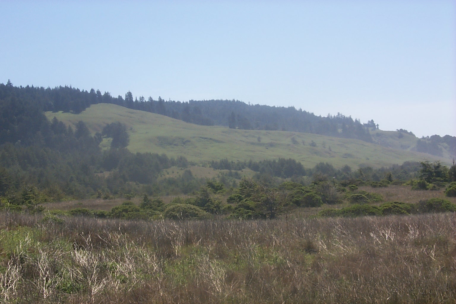
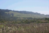 Click on image to enlarge (96K). Click here to display a larger version (349K).
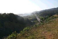
Upland areas adjacent to the lower Gualala River. Photo courtesy California Division of Mines and Geology, North Coast Watershed Assessment Program. May 1, 2001.
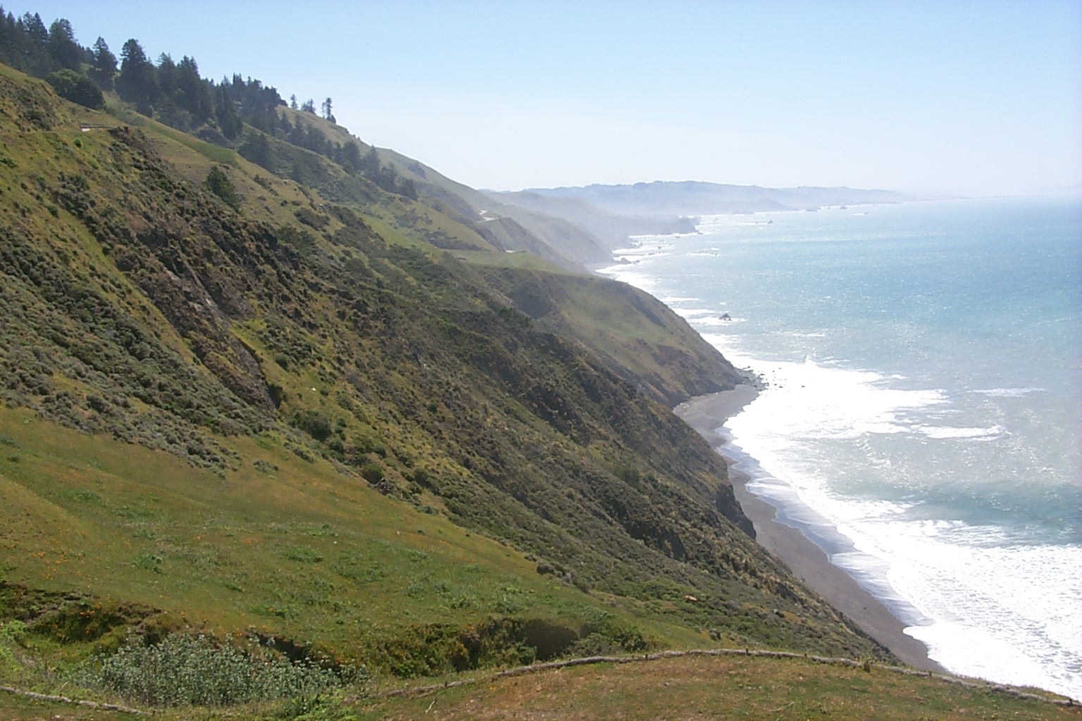
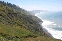 Click on image to enlarge (127K). Click here to display a larger version (443K).
Steep coastal headlands south of Gualala along Highway 1. Photo courtesy California Division of Mines and Geology, North Coast Watershed Assessment Program. May 1, 2001.

 Click on image to enlarge (88K). Click here to display a larger version (254K).
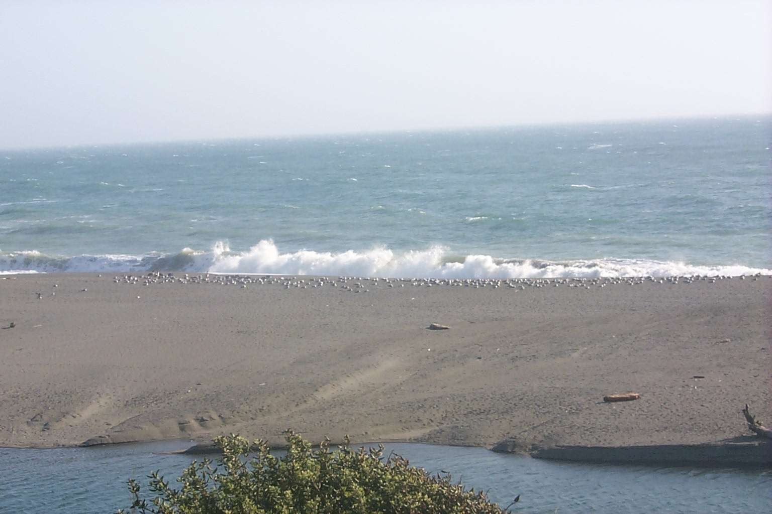 Click on image to enlarge (115K). Click here to display a larger version (314K).
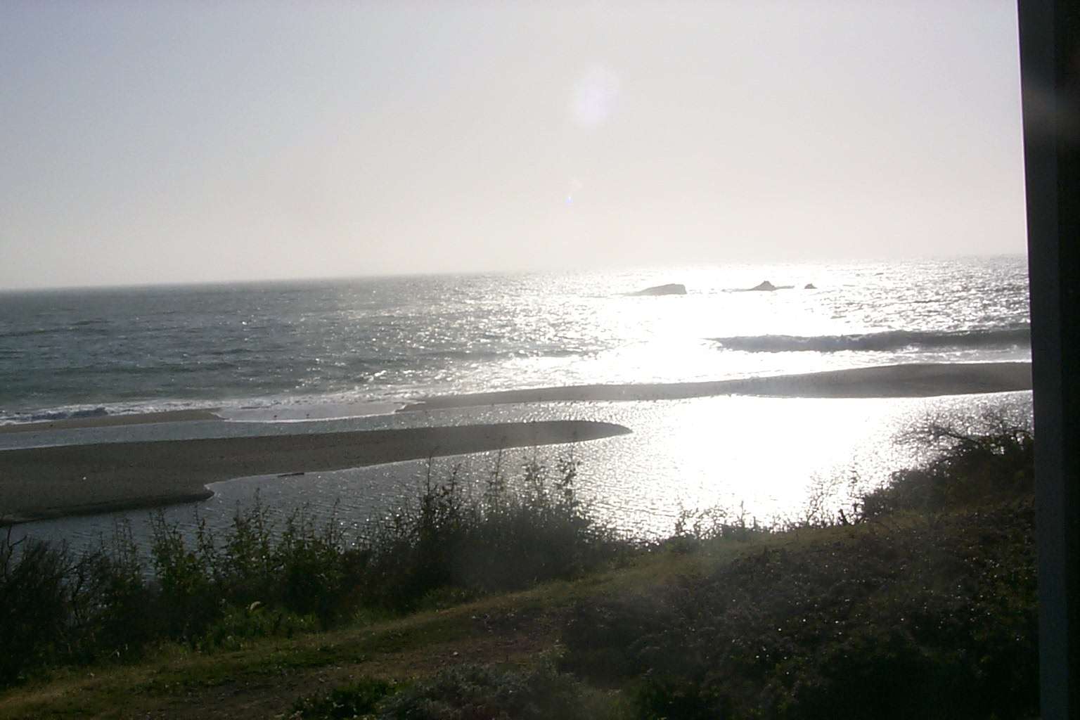 Click on image to enlarge (108K). Click here to display a larger version (301K).
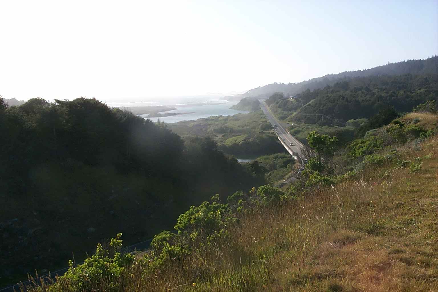 Click on image to enlarge (103K). Click here to display a larger version (375K).
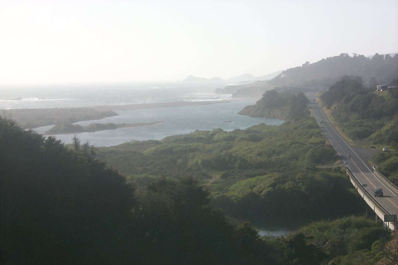 Click on image to enlarge (74K). Click here to display a larger version (227K).
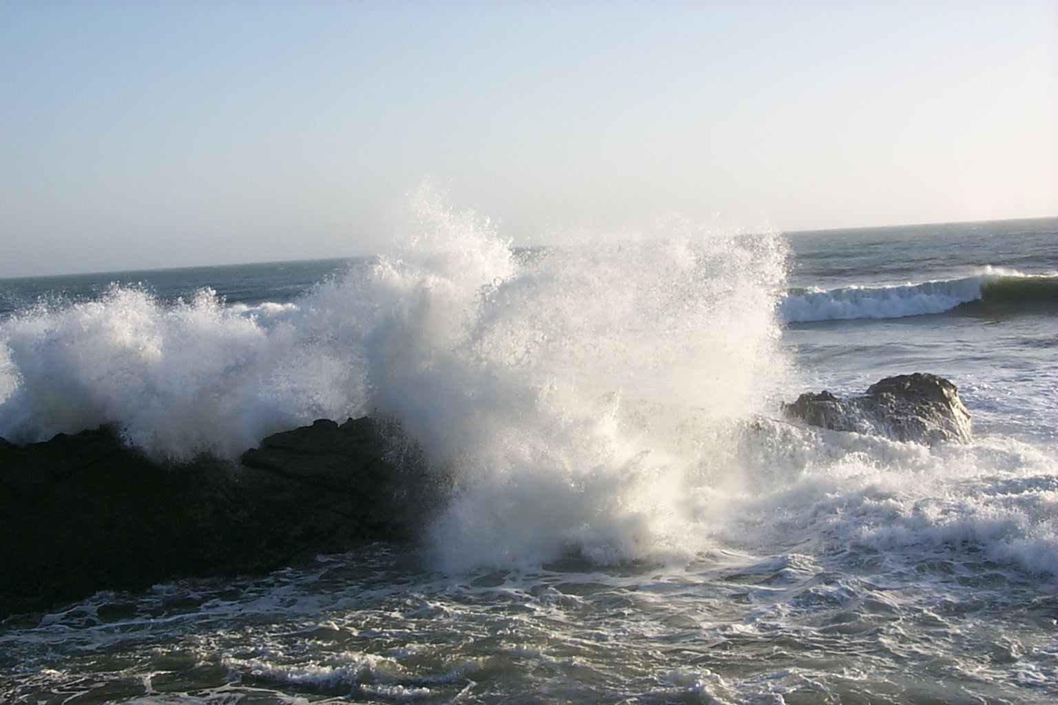 Click on image to enlarge (97K). Click here to display a larger version (335K).
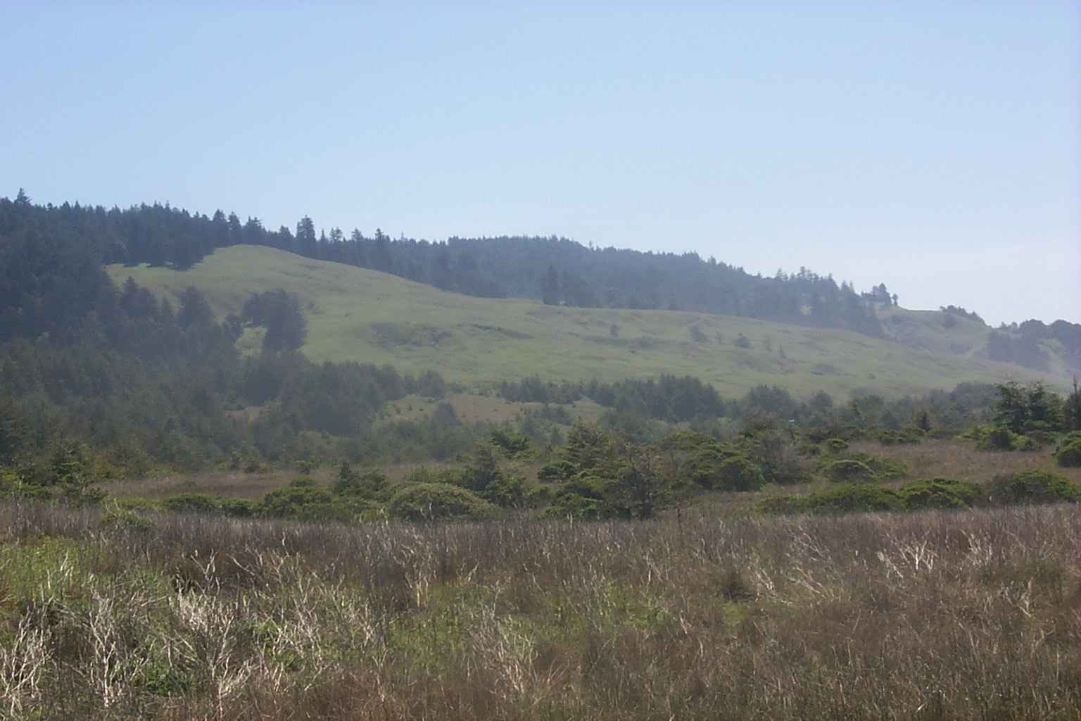 Click on image to enlarge (96K). Click here to display a larger version (349K).
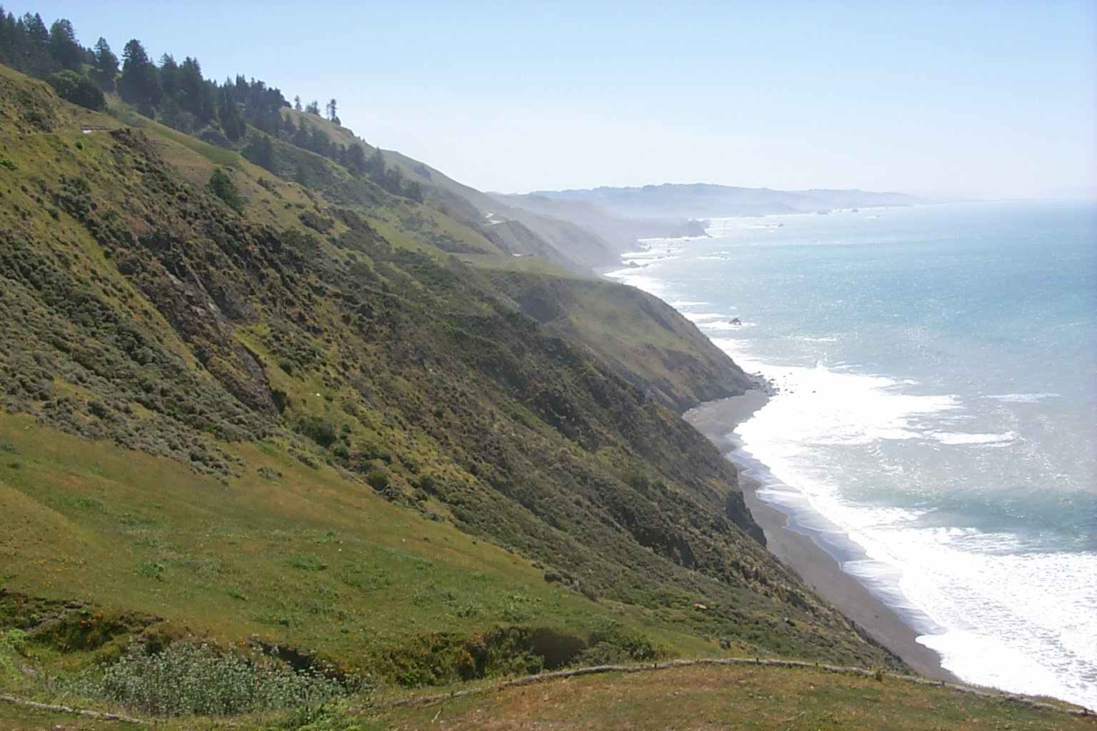 Click on image to enlarge (127K). Click here to display a larger version (443K).