| Area |
North Fork |
| Topic |
Tour: CGS NF Gualala Landscape and Geology Photos 2001 |
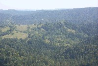
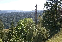 Click on image to enlarge (80K). Click here to display a larger version (643K).
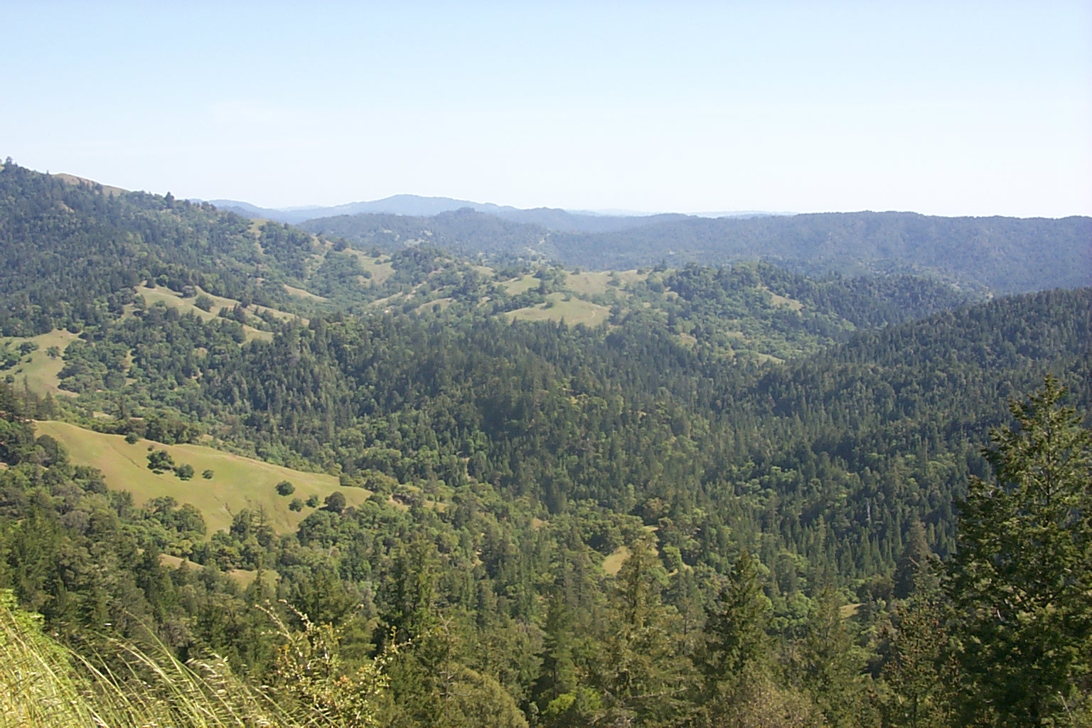
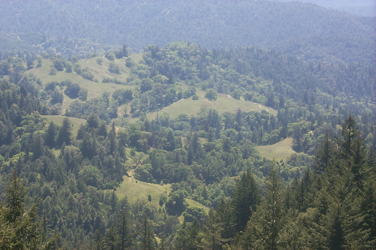
Panorama of Upper Billings Creeks from GPS 25. Photo provided courtesy of the California Division of Mines and Geology, North Coast Watershed Assessment Program.
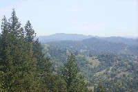
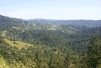 Click on image to enlarge (16K). Click here to display a larger version (504K).
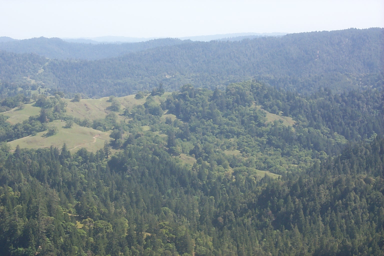
Panorama of Upper Billings Creeks from GPS 25. Photo provided courtesy of the California Division of Mines and Geology, North Coast Watershed Assessment Program.
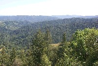 Click on image to enlarge (71K). Click here to display a larger version (572K).
Panorama of Upper Billings Creeks from GPS 25. Photo provided courtesy of the California Division of Mines and Geology, North Coast Watershed Assessment Program.
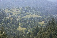
 Click on image to enlarge (72K). Click here to display a larger version (570K).
Panorama of Upper Billings Creeks from GPS 25. Photo provided courtesy of the California Division of Mines and Geology, North Coast Watershed Assessment Program.
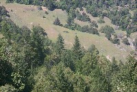
 Click on image to enlarge (15K). Click here to display a larger version (517K).
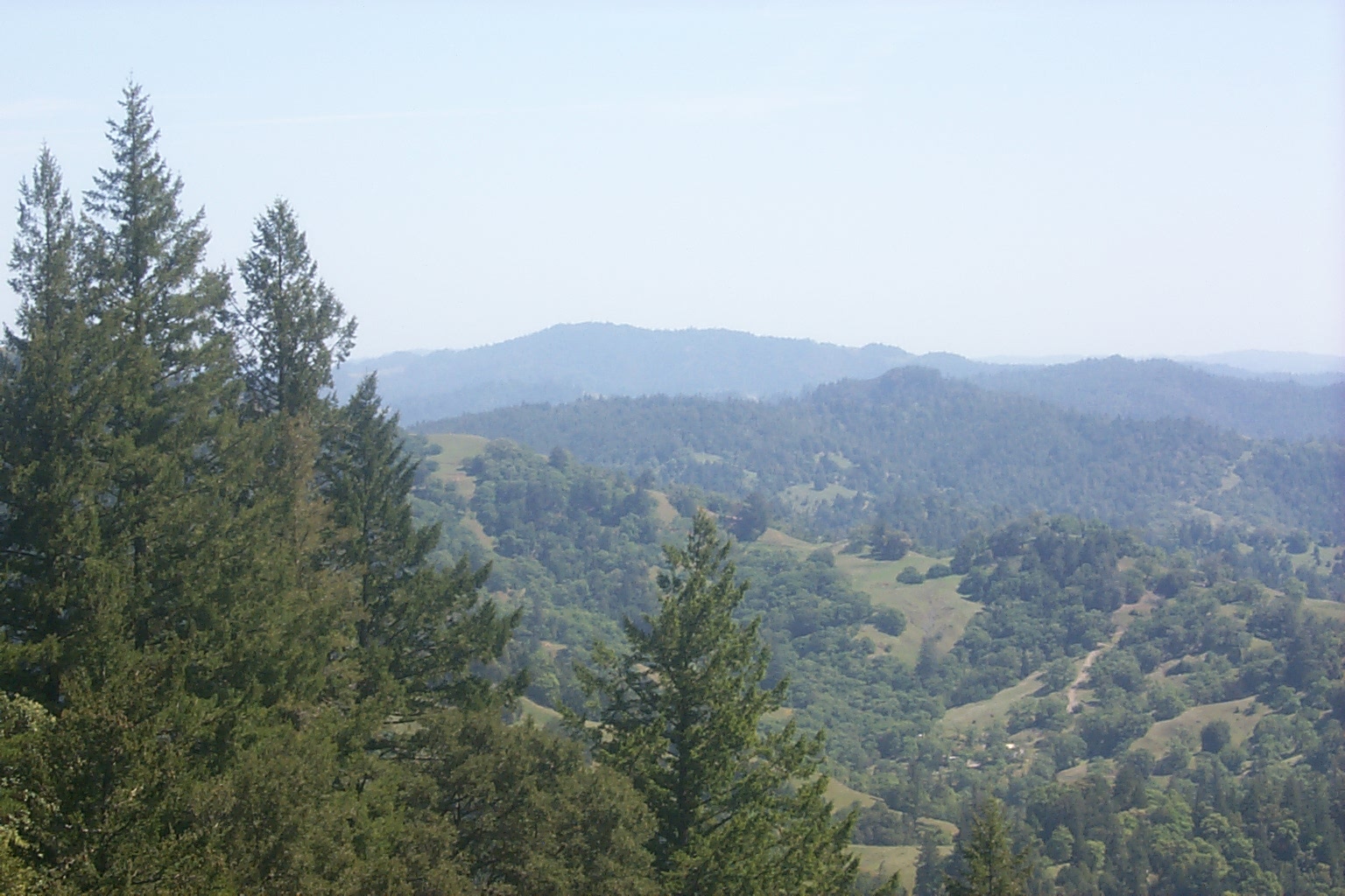
Looking S toward Gube Mtn from GPS 23. Photo provided courtesy of the California Division of Mines and Geology, North Coast Watershed Assessment Program.
 Click on image to enlarge (13K). Click here to display a larger version (414K).
Panorama of Upper Billings Creeks from GPS 25. See Picture #6 for zoom in on gullies. Photo provided courtesy of the California Division of Mines and Geology, North Coast Watershed Assessment Program.
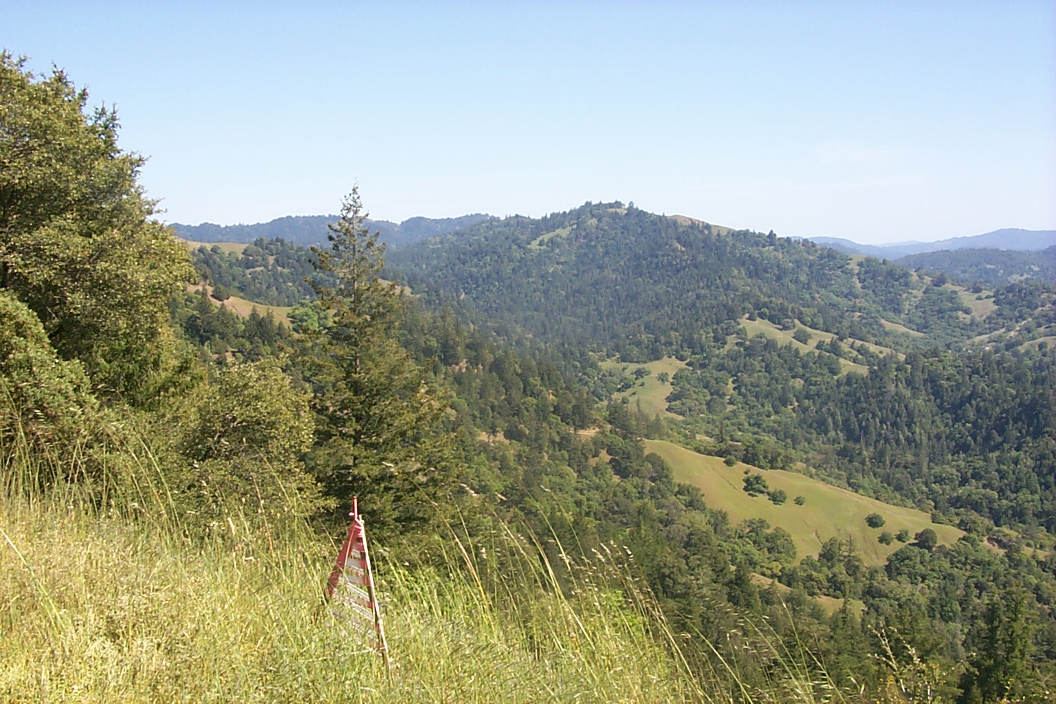
View from GPS 27 toward GPS 24 and 25. See Picture #6 for zoom in on gullies. Photo provided courtesy of the California Division of Mines and Geology, North Coast Watershed Assessment Program.
View from GPS 27 toward GPS 24 and 25. See Picture #5 for a zoom out of this same area. Photo provided courtesy of the California Division of Mines and Geology, North Coast Watershed Assessment Program.
 Click on image to enlarge (12K). Click here to display a larger version (377K).
Looking S over Billings Creek from GPS 24. Photo provided courtesy of the California Division of Mines and Geology, North Coast Watershed Assessment Program.
 Click on image to enlarge (77K). Click here to display a larger version (596K).
View from GPS 27 toward GPS 24 and 25. Photo provided courtesy of the California Division of Mines and Geology, North Coast Watershed Assessment Program.

 Click on image to enlarge (80K). Click here to display a larger version (643K).
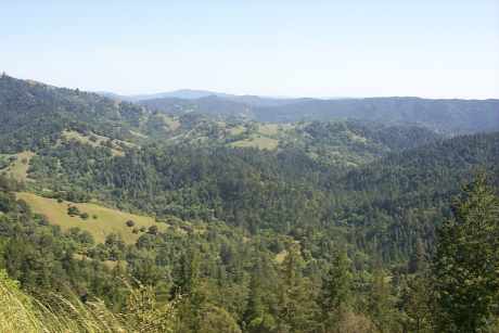 Click on image to enlarge (16K). Click here to display a larger version (504K).
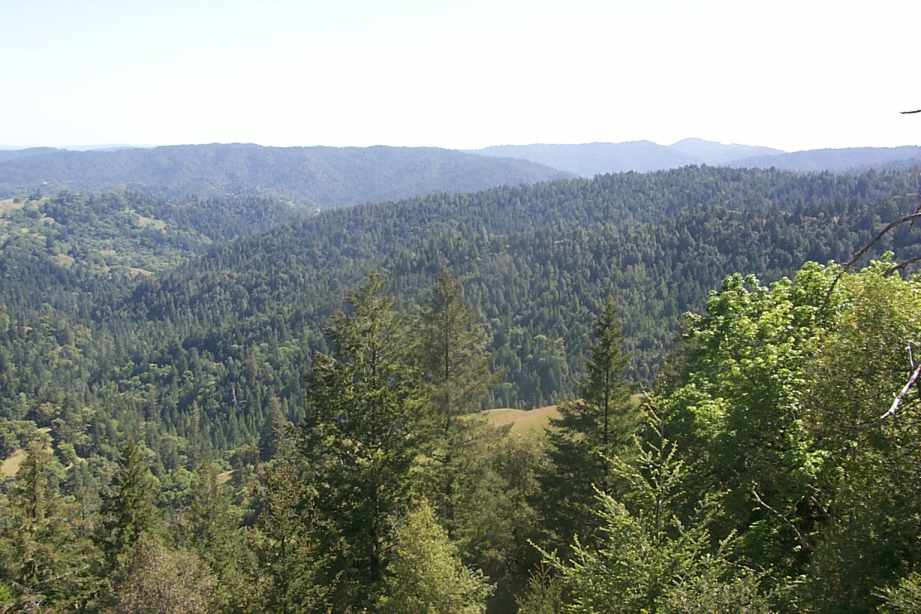 Click on image to enlarge (71K). Click here to display a larger version (572K).
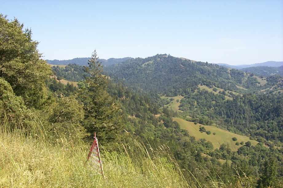 Click on image to enlarge (72K). Click here to display a larger version (570K).
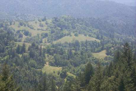 Click on image to enlarge (15K). Click here to display a larger version (517K).
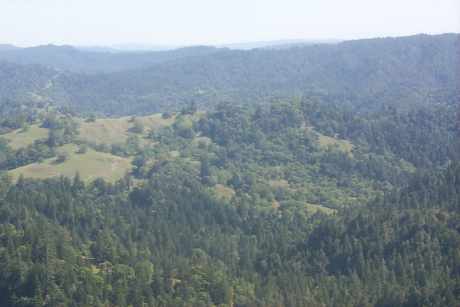 Click on image to enlarge (13K). Click here to display a larger version (414K).
 Click on image to enlarge (12K). Click here to display a larger version (377K).
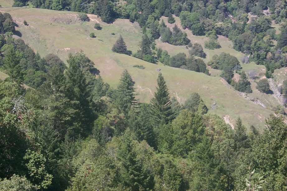 Click on image to enlarge (77K). Click here to display a larger version (596K).
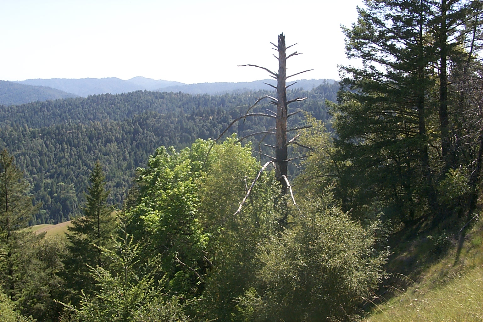