| Area |
Rockpile Creek |
| Topic |
Tour: McGuire Ridge Landscape and Geology Photos 2001 |
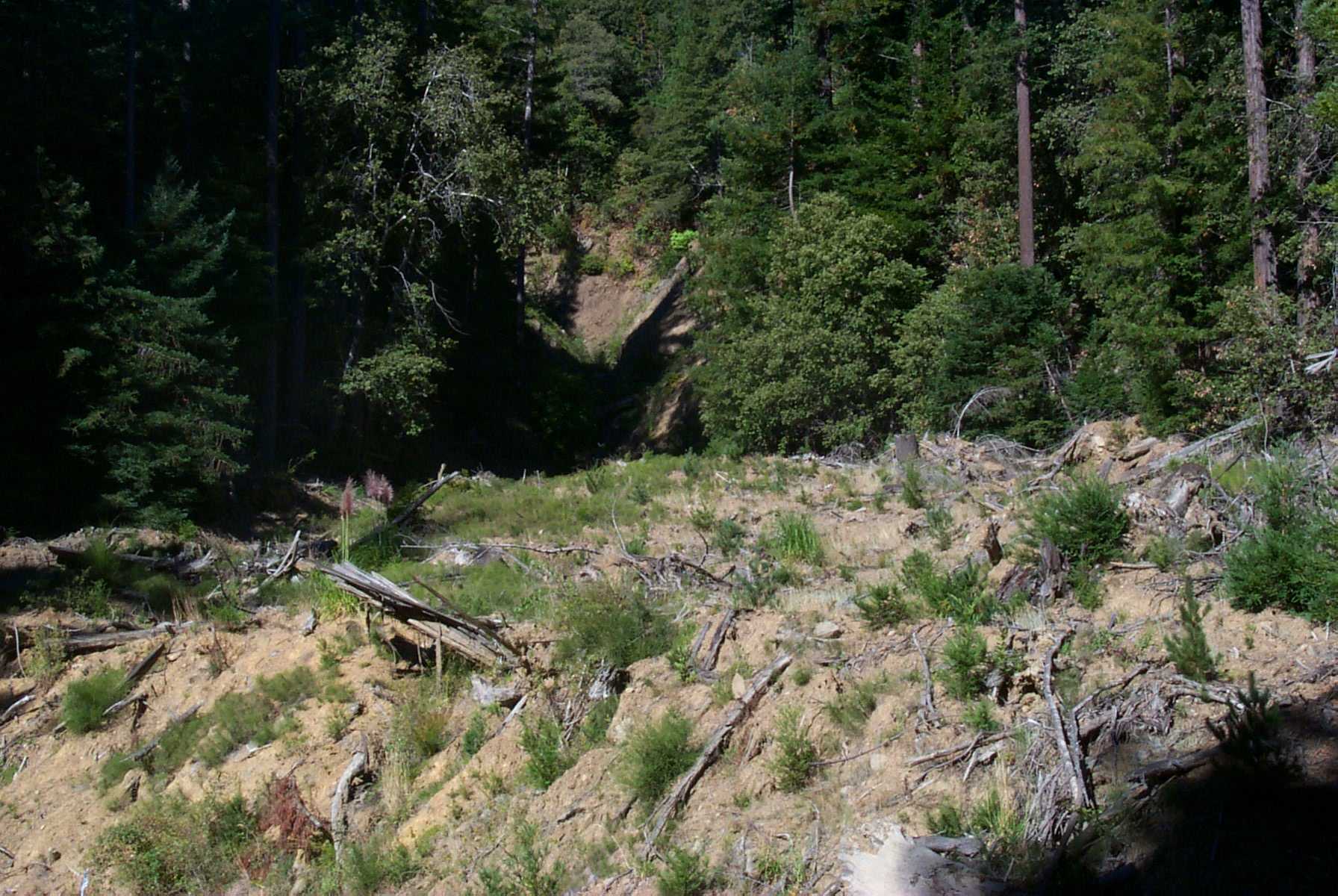
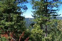 Click on image to enlarge (139K). Click here to display a larger version (389K).
Large debris flow on hillside at a distance in the middle of the Photograph. Photo provided courtesy of the California Division of Mines and Geology, North Coast Watershed Assessment Program.
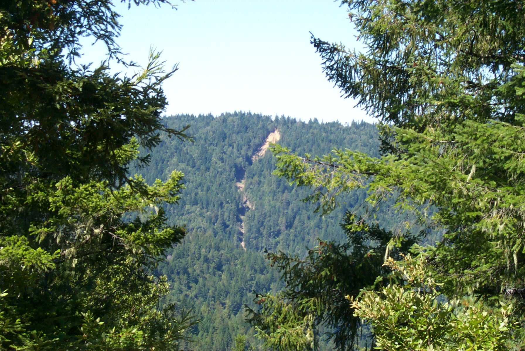
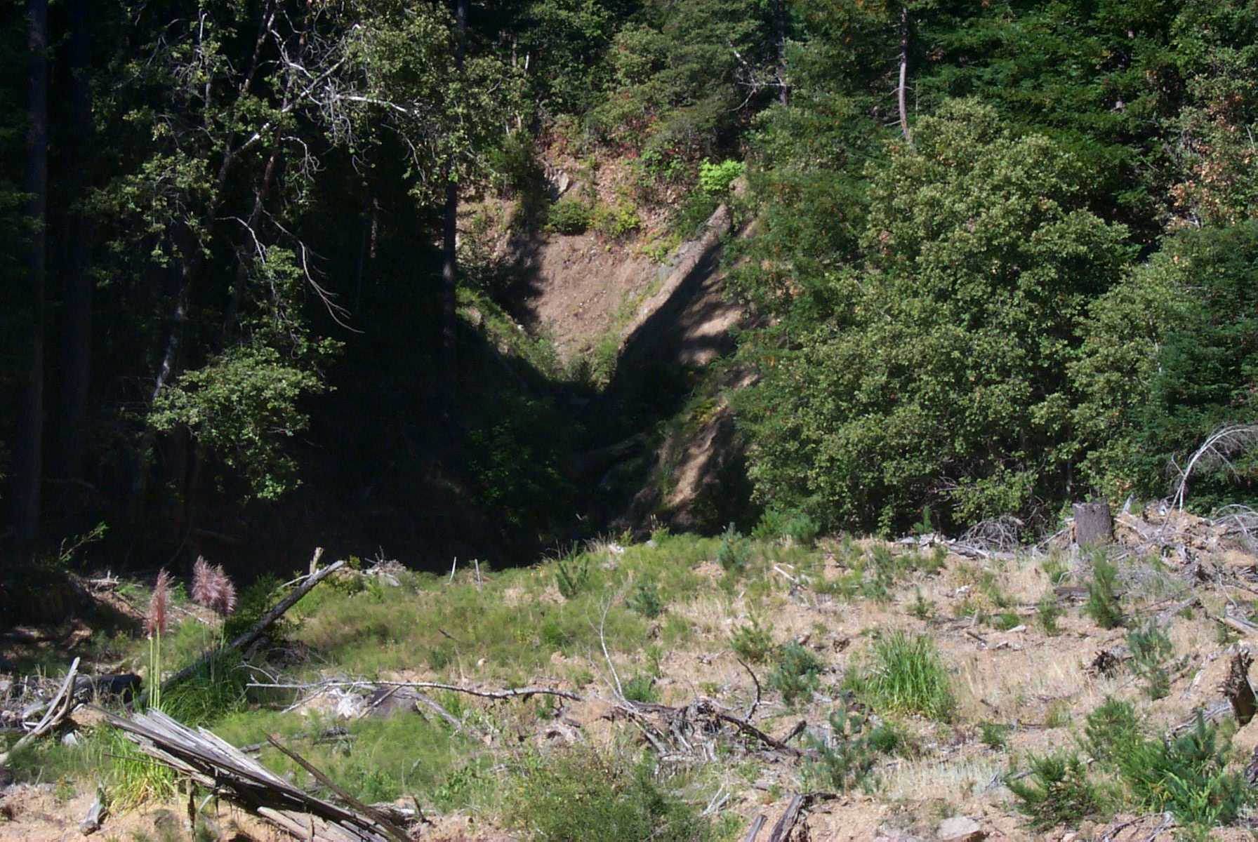
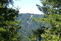 Click on image to enlarge (128K). Click here to display a larger version (301K).
Zoom in on large debris flow shown in Picture #1. Photo provided courtesy of the California Division of Mines and Geology, North Coast Watershed Assessment Program.
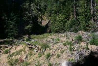 Click on image to enlarge (130K). Click here to display a larger version (279K).
Torrent track and deposit of large amounts of sediment with vegetation just re-establishing. Photo provided courtesy of the California Division of Mines and Geology, North Coast Watershed Assessment Program.
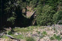 Click on image to enlarge (114K). Click here to display a larger version (287K).
Zoom in on smaller tributary torrent coming from side channel. Photo provided courtesy of the California Division of Mines and Geology, North Coast Watershed Assessment Program.
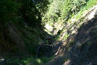 Click on image to enlarge (118K). Click here to display a larger version (257K).
Torrent track photo taken looking up hill in the Rockpile Creek sub-basin. Photo provided courtesy of the California Division of Mines and Geology, North Coast Watershed Assessment Program.

 Click on image to enlarge (139K). Click here to display a larger version (389K).
 Click on image to enlarge (128K). Click here to display a larger version (301K).
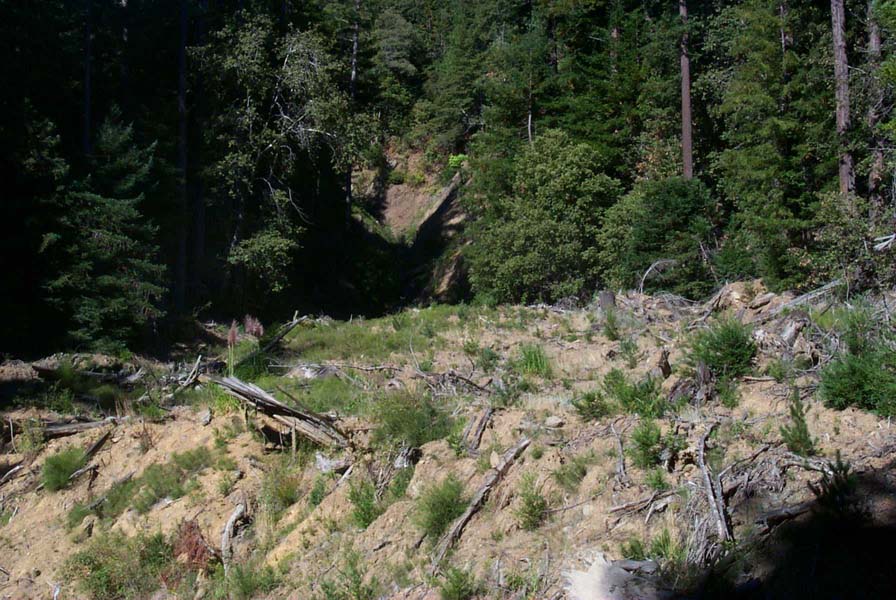 Click on image to enlarge (130K). Click here to display a larger version (279K).
 Click on image to enlarge (114K). Click here to display a larger version (287K).
 Click on image to enlarge (118K). Click here to display a larger version (257K).
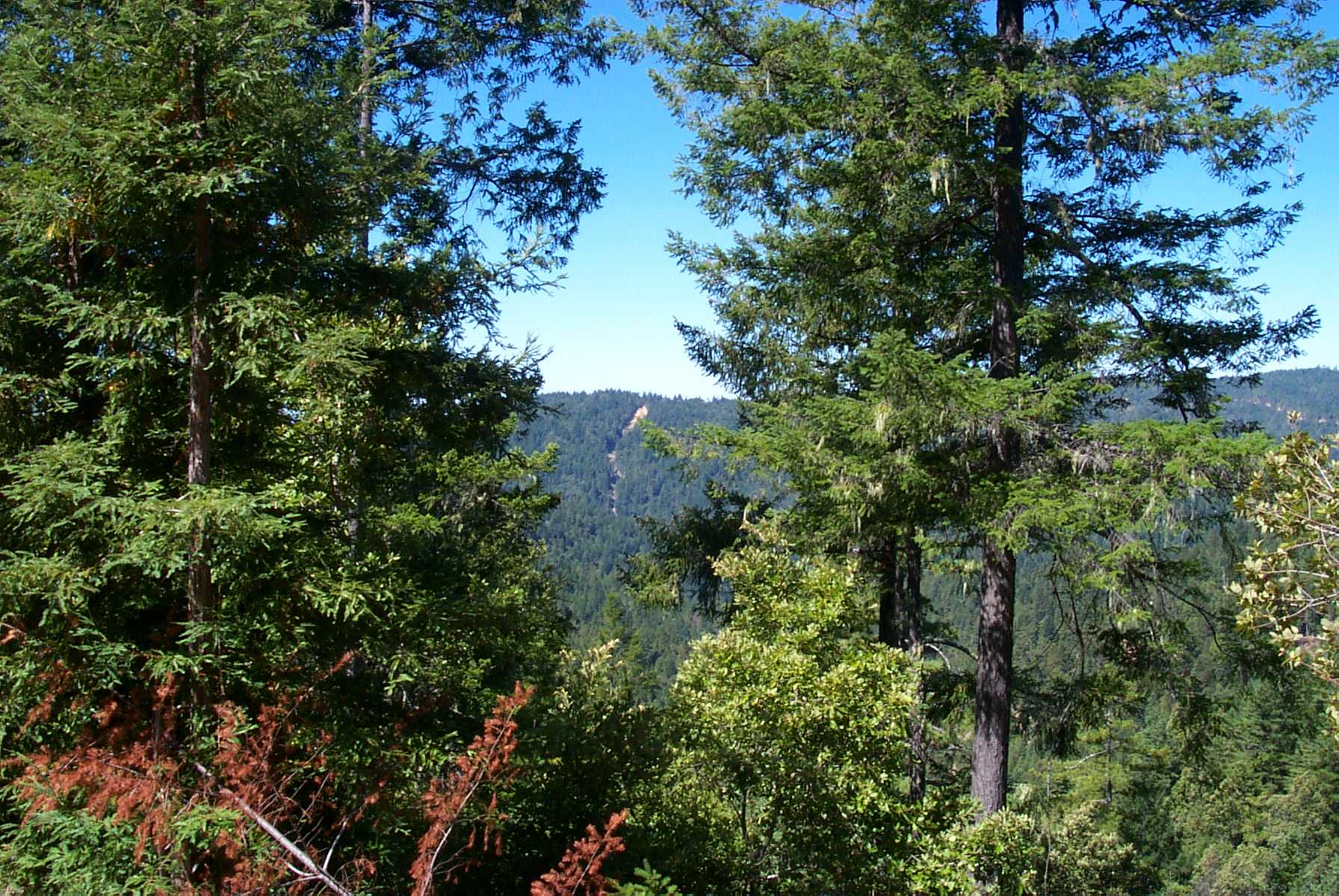