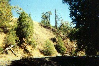
 Click on image to enlarge (588K).
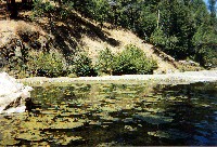
This photo of McKenzie Creek was taken during California Department of Fish and Game habitat typing surveys in 2001. This stream is running through the Ohlsen Ranch Formation, which can be highly erodible, and bank erosion at this site is evident. The stream habitat was a mid-channel pool with cobble substrate and little cover. Embeddedness was 50-75% at the pool tail crest, which is poor for salmonid spawning and consistent with a high supply of sediment. Photo courtesy of the California Department of Fish and Game, North Coast Watershed Assessment Program. CDFG field information is below: MSL_HU.0063
Photo #15
HU #063
09.06.01
66oF H2O
Mid-channel pool [4.2]
Embeddedness=3
Substrate=C
Shelter value=2
Unstable bank.
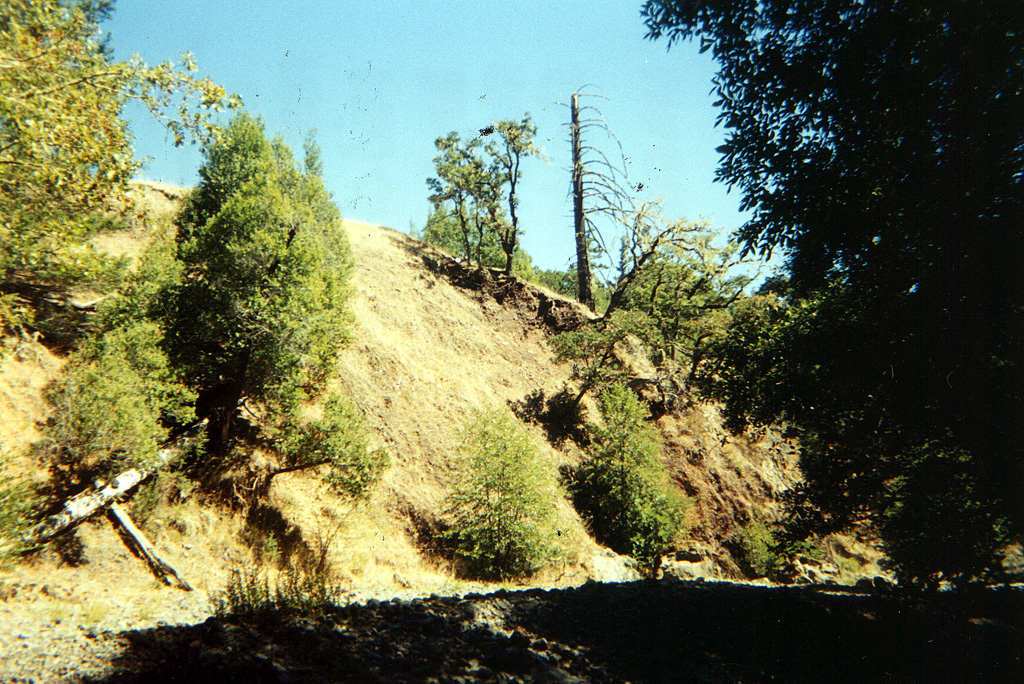
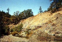 Click on image to enlarge (640K).
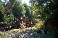
This photo of McKenzie Creek was taken during California Department of Fish and Game habitat typing surveys in 2001 and shows another streamside landslide. Scars of large streamside landslides like this one take a long time to revegetate and leave the stream open to warming. The stream temperature at this location was 77 Fahrenheit. This photo was taken at the top of the survey reach. Photo provided courtesy of the California Department of Fish and Game, North Coast Watershed Assessment Program. CDFG field information is below:
MSL_HU.0095A
Photo #13
HU #095A
09.13.01
77oF H2O
Mid-channel pool [4.2]
End of reach due to end of access.
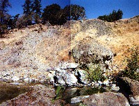 Click on image to enlarge (739K).
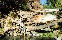
This photo of McKenzie Creek was taken at the same location as Picture #2. This slide is an earthflow and large boulders in the stream are characteristic of deposits at the base of these features. Fine sediment contributed in the past has washed downstream, although the slide appears active and surface erosion is still contributing some fines to the stream. High flows can re-activate features such as this one. Photo provided courtesy of the California Department of Fish and Game, North Coast Watershed Assessment Program. CDFG field information is below: MSL_HU.0095A
Photo #13
HU #095A
09.13.01
77oF H2O
Mid-channel pool [4.2]
End of reach due to end of access.
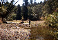 Click on image to enlarge (650K).
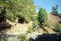
This photo of McKenzie Creek was taken during California Department of Fish and Game habitat typing surveys in 2001 and shows a seasonal road crossing obstructing the flow of McKenzie Creek. The next photo shows associated water quality conditions caused by the damming. Photo provided courtesy of the California Department of Fish and Game, North Coast Watershed Assessment Program. CDFG field information is below:
Photos #11 and 12
HU # 095
Marshall Creek
09.13.01
77oF H2O
Mid-channel pool [4.2]
SH 1+, 2+ present; cattle in stream.
 Click on image to enlarge (637K).
This photo of McKenzie Creek was taken during California Department of Fish and Game habitat typing surveys in 2001. This is a man-made dam causing large backup of water. Water spills around right side of dam in high water. Dam is 3 ft high, 44 ft side, and 10ft long. This is the pool above the dam. Cattle adjacent to stream may be adding nutrients and adding to the algae bloom. Photo provided courtesy of the California Department of Fish and Game, North Coast Watershed Assessment Program. CDFG field information is below:
MSL_HU.0097
Photo #9
HU #97
09.13.01
77oF H2O
Dammed pool [6.5]
Embeddedness=1
Substrate=C
Shelter value=2
 Click on image to enlarge (456K).
Large wood in the margins of McKenzie Creek and CDFG surveyor. Photo courtesy of California Department of Fish and Game North Coast Watershed Assessment Program.
MSL_HU.0097
Photo #9
HU #97
09.13.01
77oF H2O
Dammed pool [6.5]
Embeddedness=1
Substrate=C
Shelter value=2
 Click on image to enlarge (674K).
Large woody debris jam on McKenzie Creek. Photo courtesy of California Department of Fish and Game North Coast Watershed Assessment Program. PLM_HU.0023
Photos #4 and 5
HU #023
09.08.01
64oF H2O
Plunge pool [5.6]
Embeddedness=1
Substrate=D
Shelter value=1
End of survey at log jam. Jam is 10ft high. Water plunges over jam during high water.
Water seeping through log jam causing secondary channel. Jam causes large gravel plug.
 Click on image to enlarge (485K).
Landslide next to McKenzie Creek with active flood terrace. Photo courtesy of California Department of Fish and Game North Coast Watershed Assessment Program. PLM_HU.0023

 Click on image to enlarge (588K).
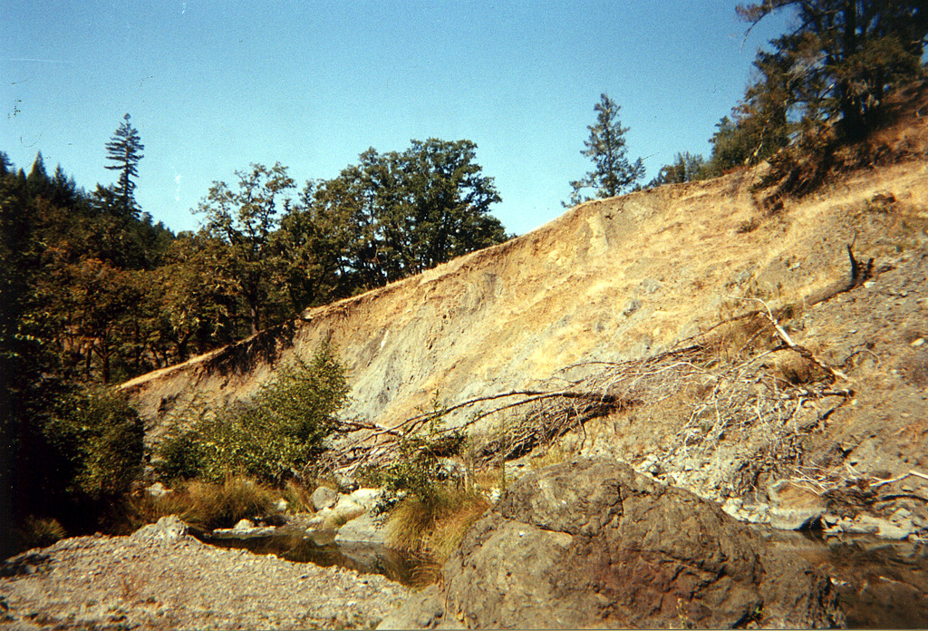 Click on image to enlarge (640K).
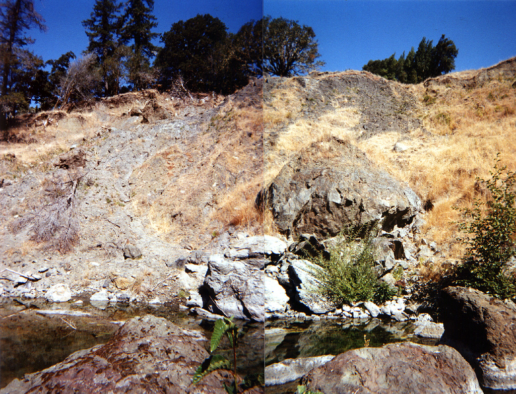 Click on image to enlarge (739K).
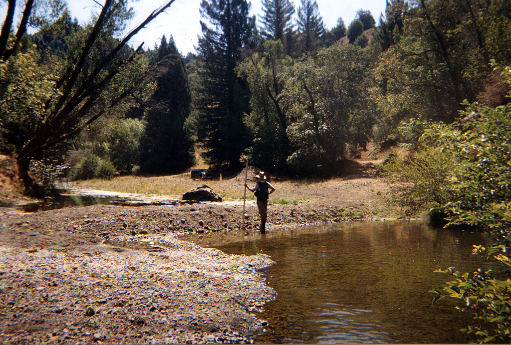 Click on image to enlarge (650K).
 Click on image to enlarge (637K).
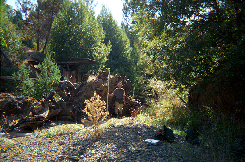 Click on image to enlarge (456K).
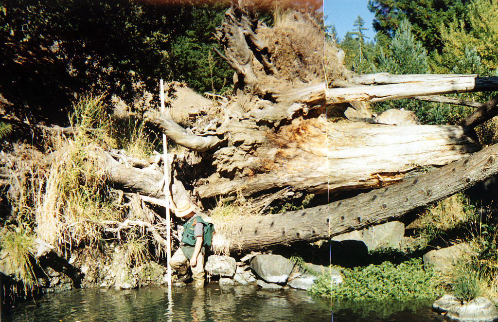 Click on image to enlarge (674K).
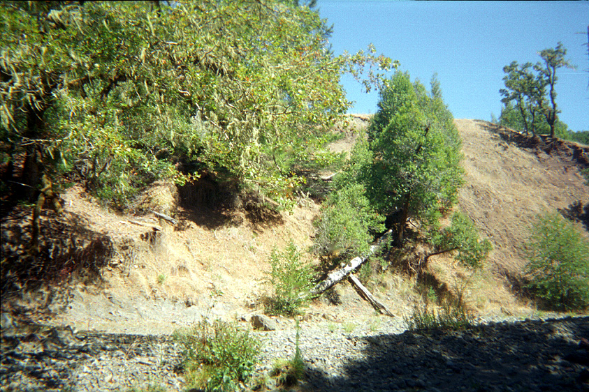 Click on image to enlarge (485K).