| Area |
South Fork |
| Topic |
Tour: South Fork Gualala Stream Views from PHI Photos 2001 #3 |
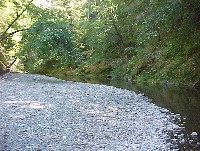 Click on image to enlarge (109K).
South Fork Gualala River close up of pool. Photo provided courtesy of Dave Hope, North Coast Regional Water Quality Control Board.
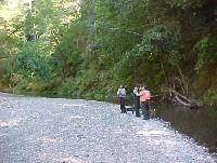 Click on image to enlarge (86K).
South Fork Gualala PHI tour with river in background. Photo provided courtesy of Dave Hope, North Coast Regional Water Quality Control Board.
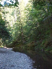 Click on image to enlarge (174K).
South Fork Gualala River along bedrock wall. Photo provided courtesy of Dave Hope, North Coast Regional Water Quality Control Board.
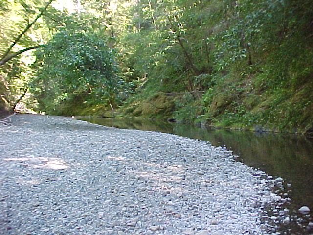
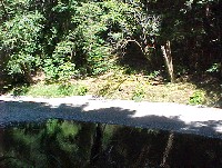 Click on image to enlarge (108K).
South Fork Gualala River. Photo provided courtesy of Dave Hope, North Coast Regional Water Quality Control Board.
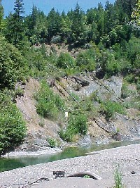 Click on image to enlarge (164K).
South Fork Gualala landslide triggered in 1996-1997. Photo provided courtesy of Dave Hope, North Coast Regional Water Quality Control Board.
 Click on image to enlarge (72K).
South Fork Gualala River bar with fine sediment and large substrate. Photo provided courtesy of Dave Hope, North Coast Regional Water Quality Control Board.
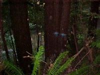 Click on image to enlarge (64K).
South Fork Gualala River in background with riparian trees marked for harvest. Photo provided courtesy of Dave Hope, North Coast Regional Water Quality Control Board.
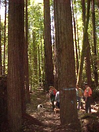 Click on image to enlarge (83K).
Pre-harvest inspection tour of South Fork Gualala location with trees marked for harvest bearing blue lines. Photo provided courtesy of Dave Hope, North Coast Regional Water Quality Control Board.

 Click on image to enlarge (109K).
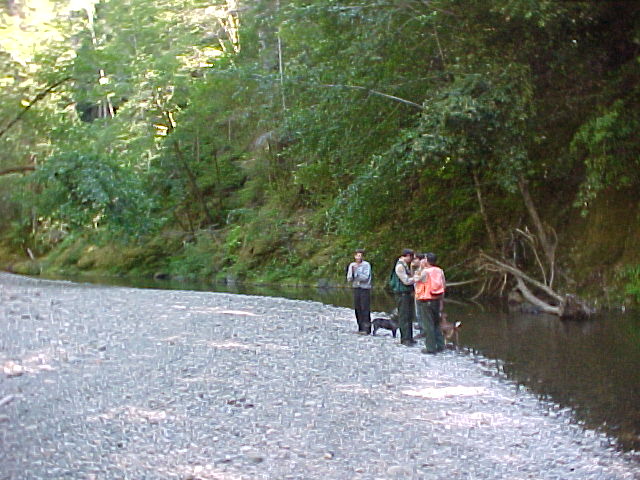 Click on image to enlarge (86K).
 Click on image to enlarge (174K).
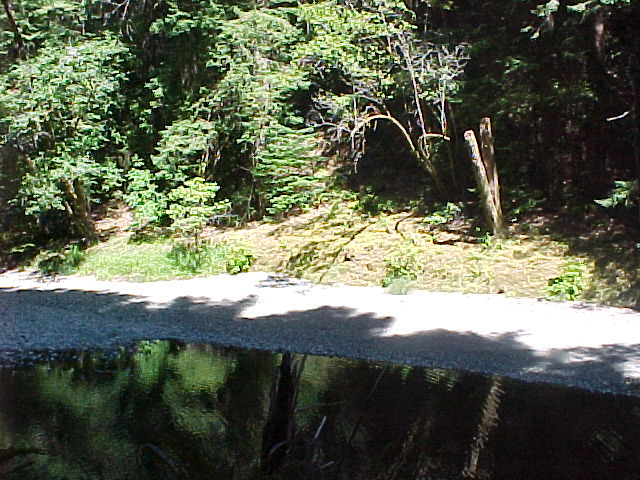 Click on image to enlarge (108K).
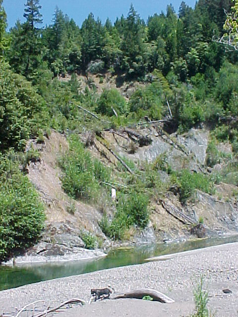 Click on image to enlarge (164K).
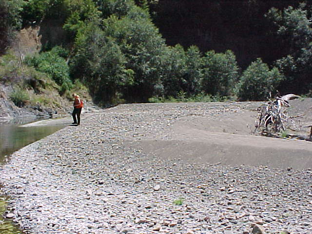 Click on image to enlarge (72K).
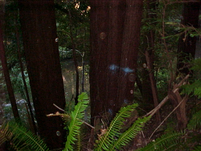 Click on image to enlarge (64K).
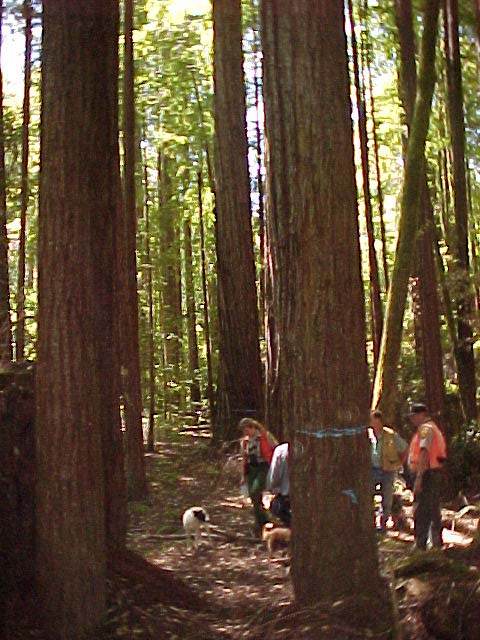 Click on image to enlarge (83K).