| Area |
Wheatfield |
| Topic |
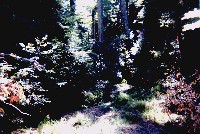
Tour: CDFG Tombs Creek #2 CDFG Photos 2001 |
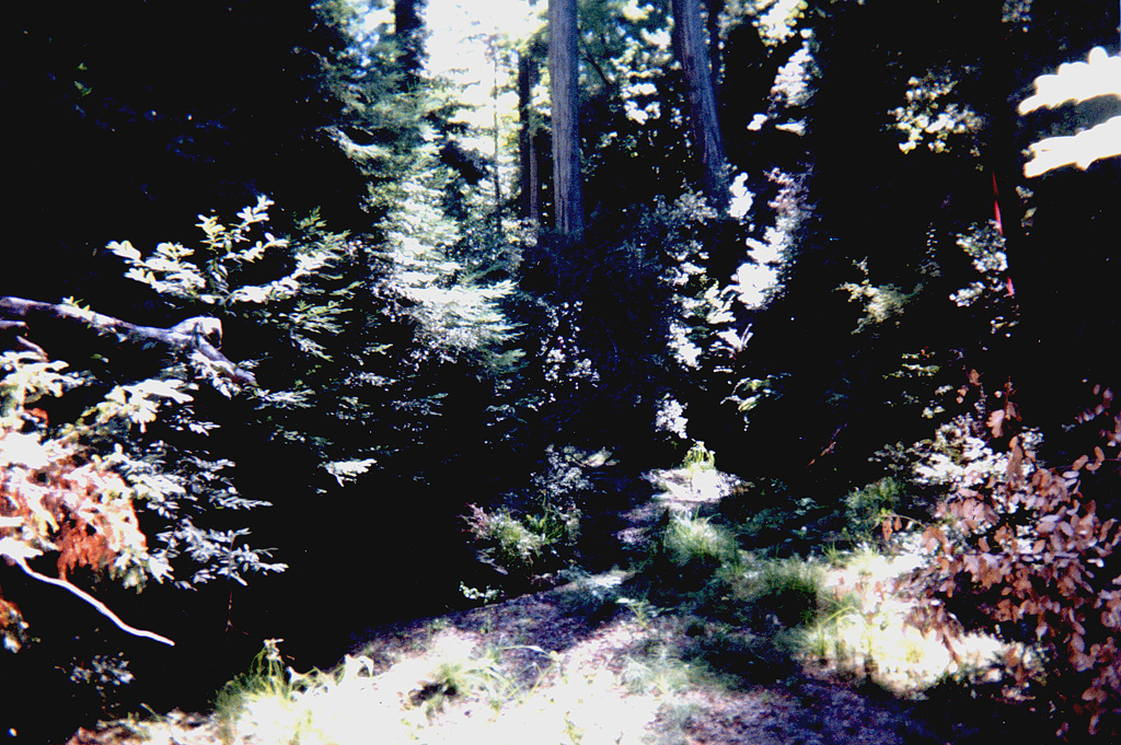
 Click on image to enlarge (121K). Click here to display a larger version (778K).
Reach of Tombs Creek lacking surface flow during October 2001 survey. Photo provided courtesy of the California Department of Fish and Game North Coast Watershed Assessment Program.
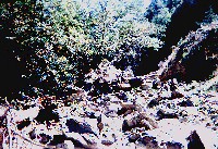
TMB_HU.0363 Dry erosion
Photo #19
HU #0363
10.03.01
150ft long; 24ft tall; 20ft deep
Dry [7.0]
 Click on image to enlarge (77K). Click here to display a larger version (510K).
Dry reach of Tombs Creek in photo taken at the end of the day on October 2, 2001. Photo courtesy of the California Department of Fish and Game North Coast Watershed Assessment Program.
TMB_HU.0417
End day; Orange flagging
10.04.01
Dry [7.0]

 Click on image to enlarge (121K). Click here to display a larger version (778K).
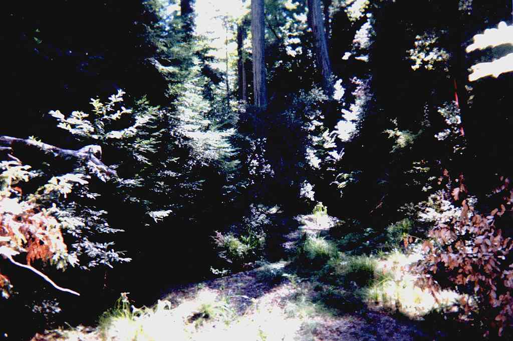 Click on image to enlarge (77K). Click here to display a larger version (510K).
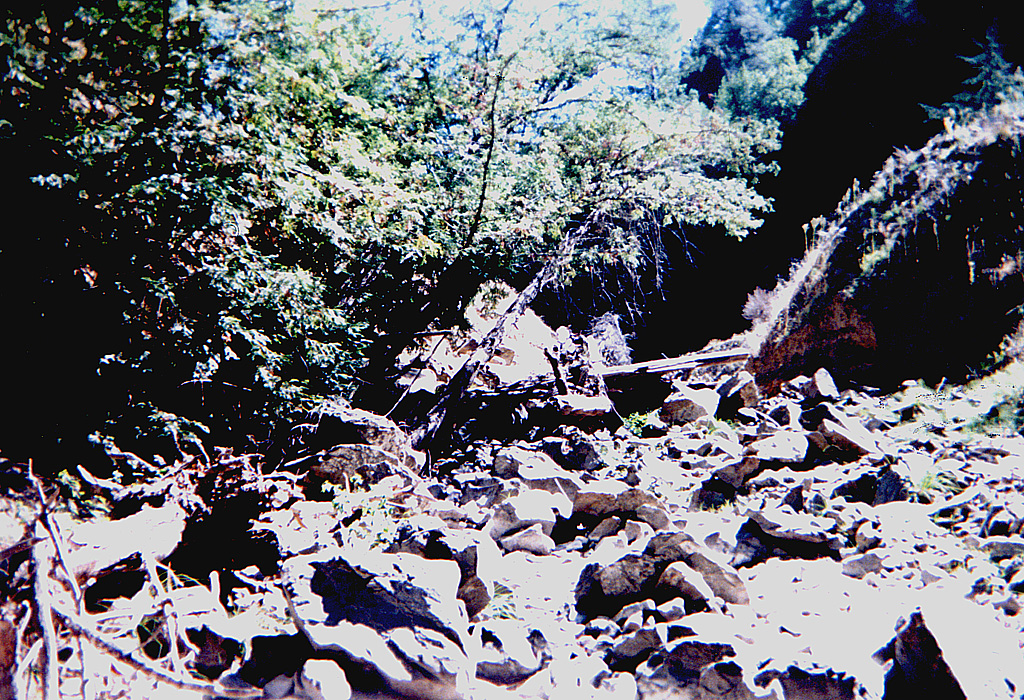