| Area |
Wheatfield |
| Topic |
Tour: Fuller Creek Photos |
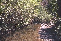
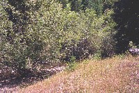 Click on image to enlarge (83K). Click here to display a larger version (252K).
North Fork Fuller Creek with overhanging willow trees and a young conifer coming up through the grass in the riparian zone. Photos courtesy of Pat Higgins. 1996.
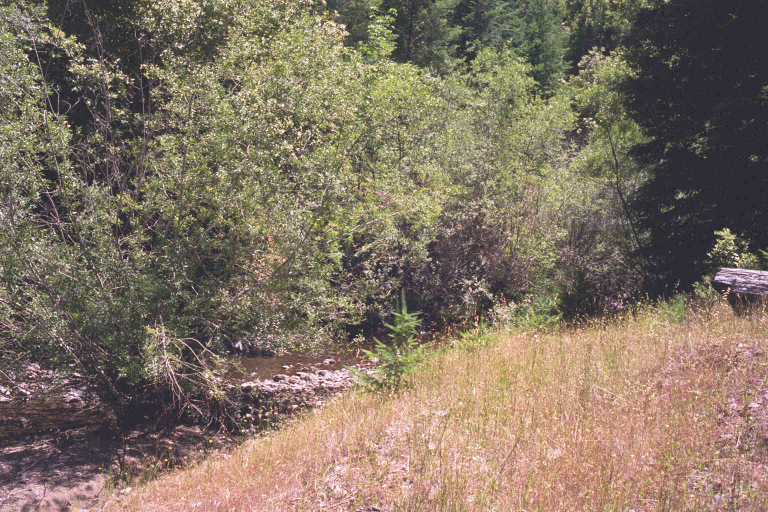
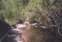 Click on image to enlarge (78K). Click here to display a larger version (225K).
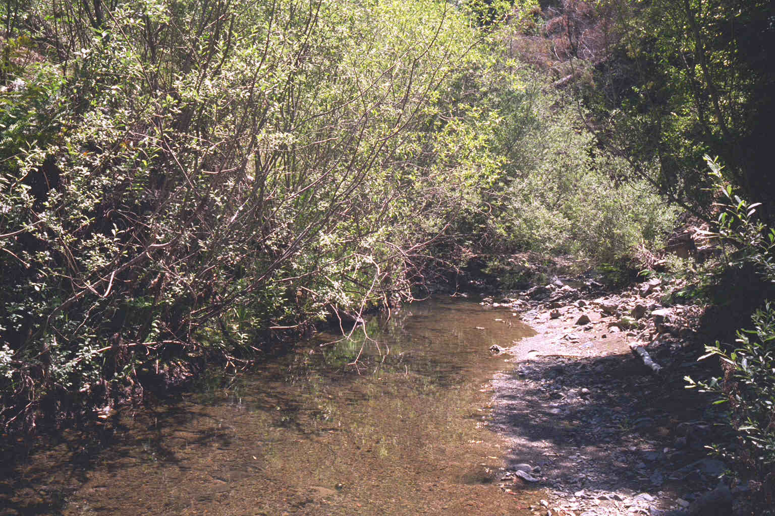
North Fork Fuller Creek run and riffle habitats with willow and young conifer canopy. Photos courtesy of Pat Higgins. 1996.
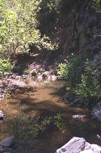 Click on image to enlarge (91K).
Shaded pool habitat formed by bedrock along North Fork Fuller Creek where Hobotemp was placed, looking upstream. Photos courtesy of Pat Higgins. 1996.
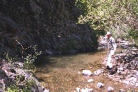 Click on image to enlarge (153K). Click here to display a larger version (189K).
Doug Simmonds gets ready to wade into North Fork Fuller Creek to place automated temperature probe in 1996. Photos courtesy of Pat Higgins. 1996.
 Click on image to enlarge (84K). Click here to display a larger version (243K).
This photo shows the North Fork Fuller Creek at location of 1996 Hobotemp, looking down stream. Photos courtesy of Pat Higgins. 1996.
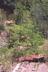 Click on image to enlarge (118K).
This photo shows young conifers in the riparian zone of South Fork Fuller Creek, which will provide future shade to the stream as they mature. Rusted culvert in picture shows legacy of problems with erosion related to roads. Photos courtesy of Pat Higgins. 1996.

 Click on image to enlarge (83K). Click here to display a larger version (252K).
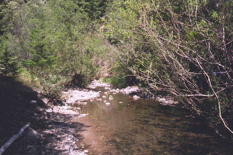 Click on image to enlarge (78K). Click here to display a larger version (225K).
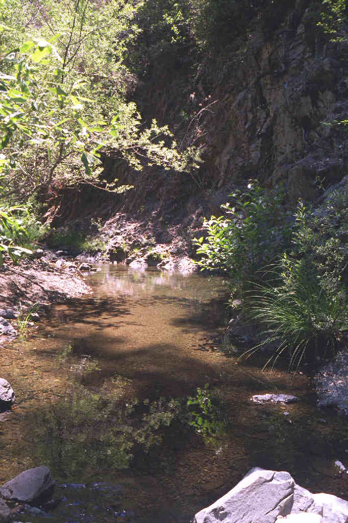 Click on image to enlarge (91K).
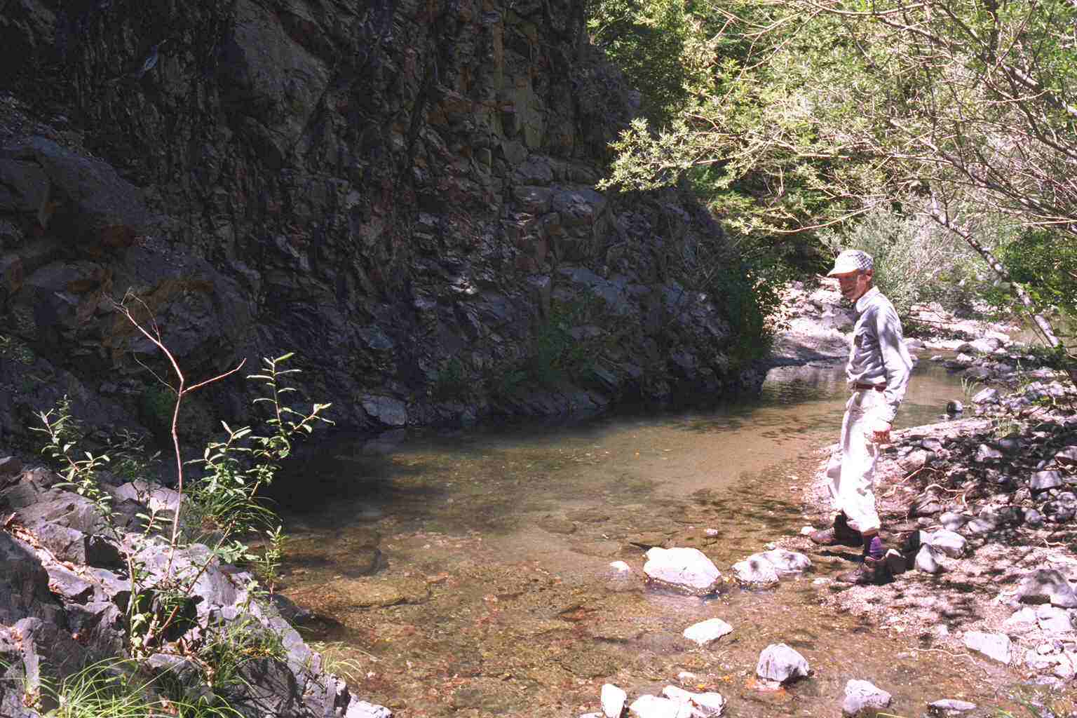 Click on image to enlarge (153K). Click here to display a larger version (189K).
 Click on image to enlarge (84K). Click here to display a larger version (243K).
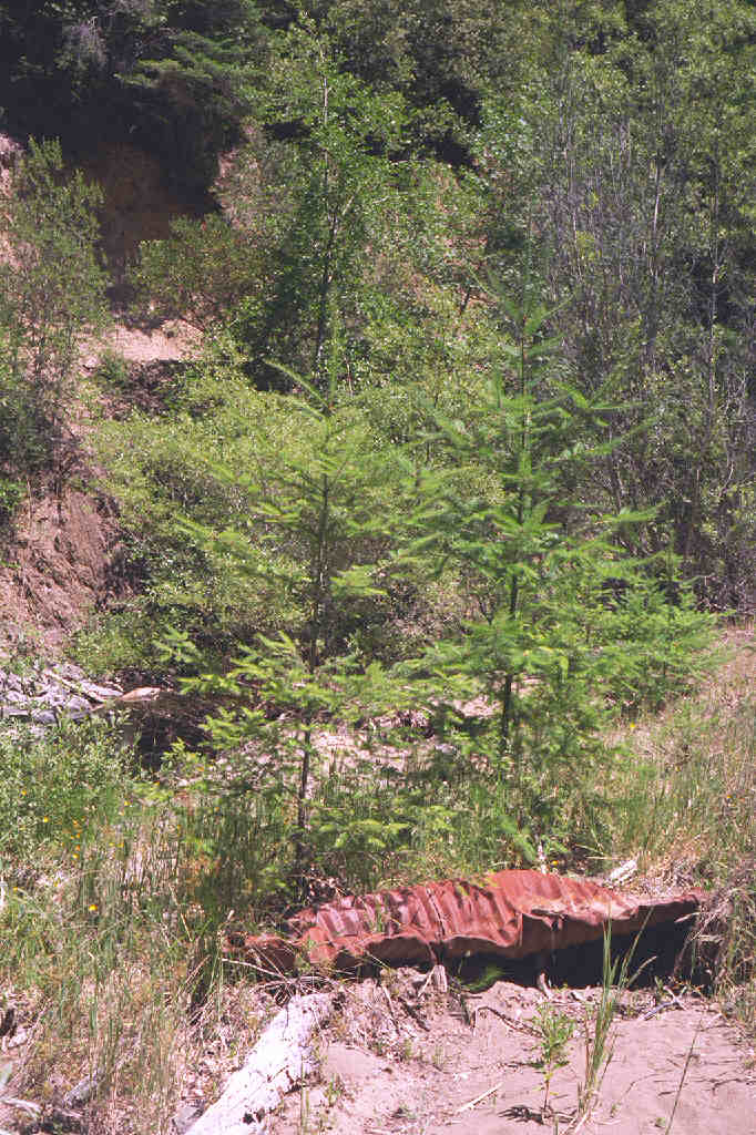 Click on image to enlarge (118K).