| Area | Lower Klamath/Basin-wide |
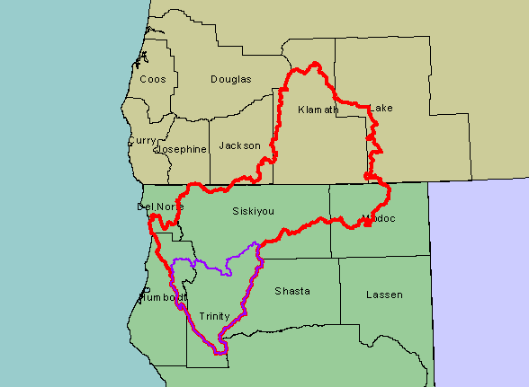
| Topic | Map: 1A. Location of KRIS Klamath Project Area |
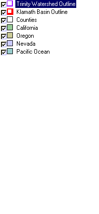
| This map shows the regional location of the KRIS Klamath project (red outline). The Trinity River basin is shown in purple. States and counties are outlined in black, with counties labeled with black text. Scale = 1:4,163,042 . | |||
 |
 |
||
To view metadata about a map layer, click on a link in the table below.
| Name of Layer in Map Legend | Metadata File Name |
|---|---|
| Trinity Watershed Outline | trin_outl.shp.txt |
| Klamath Basin Outline | klambsn_outl.shp.txt |
| Counties | counties.shp.txt |
| California | Unavailable |
| Oregon | oregon_bdry.shp.txt |
| Nevada | nevada_bdry.shp.txt |
| Pacific Ocean | Unavailable |
| www.krisweb.com |
