
| Area | Lower Klamath/Basin-wide |
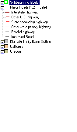
| Topic | Map: 1F. Roads, Klamath Basin |
| This is a map of the 1:2,000,000 scale roads in the Klamath basin, displayed with KRIS sub-basins. The Klamath Basin is mostly rural. Interstate 5 crosses the basin in the Shasta and Middle Klamath sub-basins. Other major highways are 96, 299 and 97. Data were provided by Humboldt State University and Klamath National Forest. | |||
 |
 |
||
To view metadata about a map layer, click on a link in the table below.
| Name of Layer in Map Legend | Metadata File Name |
|---|---|
| Subbasin (no labels) | tfsubwsd.shp.txt |
| Major Roads (1:2m scale) | Unavailable |
| Klamath-Trinity Basin Outline | klambsn_outl.shp.txt |
| California | Unavailable |
| Oregon | oregon_bdry.shp.txt |
| www.krisweb.com |