
| Area | Lower Klamath/Basin-wide |
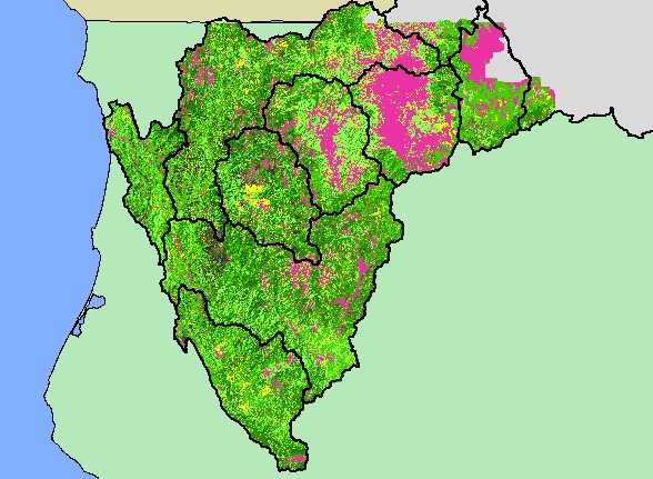
| Topic | Map: 1G. Vegetation Size, Klamath Basin |
| The map above shows vegetation of the Klamath Basin and surrounding areas as derived from a 1994 Landsat image, displayed with KRIS sub-basins. The classification is according to the Wildlife Habitat Relationships method and was derived by Dr. Larry Fox at the Humboldt State Spatial Analysis Laboratory. | |||
 |
 |
||
To view metadata about a map layer, click on a link in the table below.
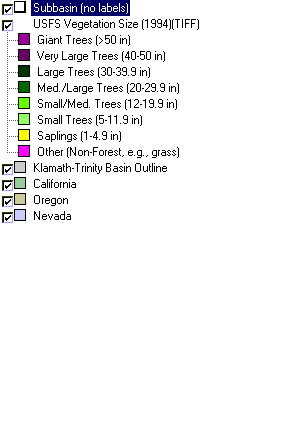
| Name of Layer in Map Legend | Metadata File Name |
|---|---|
| Subbasin (no labels) | tfsubwsd.shp.txt |
| USFS Vegetation Size (1994)(TIFF) | vegsize94klam.tif.txt |
| Klamath-Trinity Basin Outline | klambsn_outl.shp.txt |
| California | Unavailable |
| Oregon | oregon_bdry.shp.txt |
| Nevada | nevada_bdry.shp.txt |
| www.krisweb.com |