
| Area | Lower Klamath/Basin-wide |
| Topic | Tour: Yurok Reservation McGarvey Creek Erosion Control #2 |
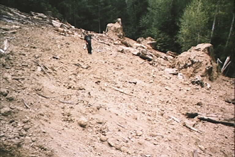
This logging landing was excavated back down to the original slope, exposing stumps buried during logging in 1978. Before restoration, this sediment source was perched immediately uphill of the West Fork McGarvey Creek, which harbors coho salmon. Photo courtesy of Yurok Tribe Watershed Restoration Division. Use Pan function or click Fit to see whole image. Press F1 for help in use of Picture tools.
A stream crossing fill disposal site on a decommissioned road on the West Fork of McGarvey Creek. The tribe used fill taken from the stream crossing to contour back to the angle of the hill. Photo courtesy of Yurok Tribe Watershed Restoration Division.
Typical cutslope after road decommissioning. Large wood is always placed with the grade of the hill ,so it doesn't hinder water runoff but it does give ground cover. Crosspieces would saturate soil and trigger landslides. Photo courtesy of Yurok Tribe Watershed Restoration Division.
This area was excavated down to former ground level (note stumps). Large wood has been left as a protective ground cover. Note that grass has colonized. Photo courtesy of Yurok Tribe Watershed Restoration Division.
 Click on image to enlarge (56K).
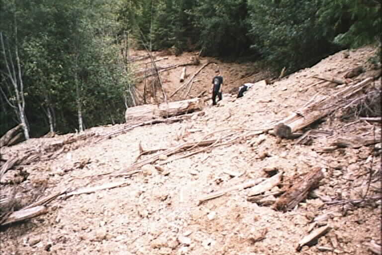 Click on image to enlarge (59K).
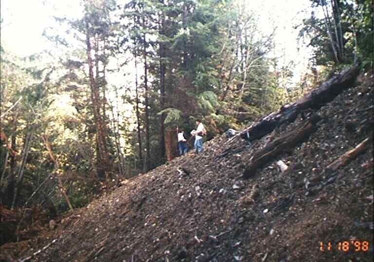 Click on image to enlarge (53K).
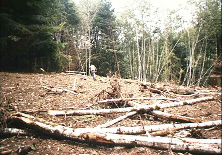 Click on image to enlarge (59K).
To learn more about this topic click Info Links
To view additional information (data source, aquisition date etc.) about this page, click Metadata
| www.krisweb.com |