
| Area | Lower Klamath/Basin-wide |
| Topic | VegType: Terwer Creek Watershed 1994 |
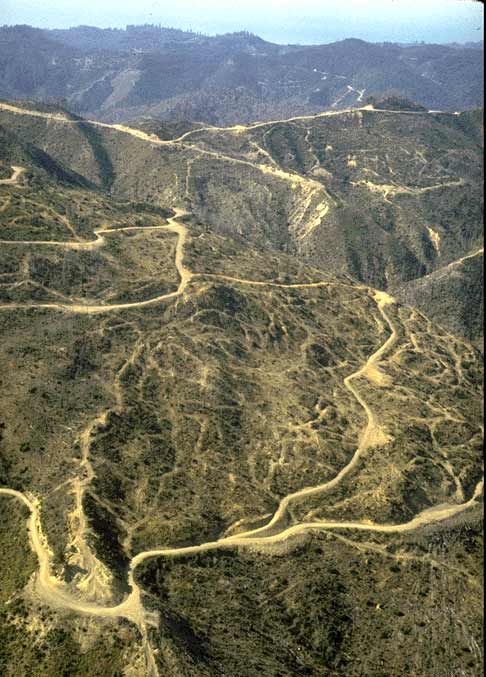
Aerial photo of the upper Terwer Creek watershed showing extensive logging and road networks. An intense fire burned the upper Terwer and Hunter Creek watersheds in 1988, and part of the area may have been burned and subsequently salvage logged. Photo taken in October 1990. Use Pan function or click Fit to see whole image. Press F1 for help in use of Picture tools. Photo by Pat Higgins.
Panorama of the Terwer Creek watershed photographed in 1990. Although within Yurok Tribe ancestral territories, the land is owned by a large, industrial timber interest. Parts of the holdings in this watershed were transferred from the U.S. Forest Service to private ownership as part of the Redwood National Park formation in the 1970's. Photo by Pat Higgins.
Upper Terwer Creek, an area affected by the 1988 fire, after salvage logging in October 1990. Notice the aggraded streambed. Photo by Pat Higgins.
Lower Terwer Creek running underground in late fall 1990. High sediment yield related to watershed disturbance has caused a large accretion of sediment. The stream runs underground in late summer and fall.
 Click on image to enlarge (61K).
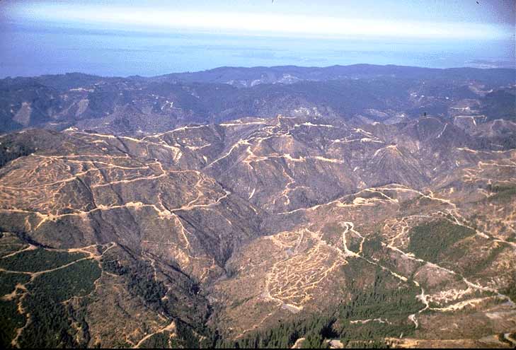 Click on image to enlarge (57K).
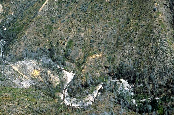 Click on image to enlarge (83K).
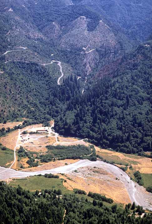 Click on image to enlarge (69K).
To learn more about this topic click Info Links
To view additional information (data source, aquisition date etc.) about this page, click Metadata
| www.krisweb.com |