
| Area | Lower Klamath/Basin-wide |
| Topic | Tour: Klamath Estuary Ground Photos |
This photo was taken looking upstream at the mouth of the Klamath River. The estuary extends upstream of Highway 101 which is out of view, to the right of center in the photo. Photo courtesy Mike Wallace, California Department of Fish and Game, Arcata, CA. Use Pan function or click Fit to see whole image. Press F1 for help in use of Picture tools.
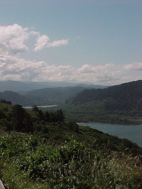
The mouth of the Klamath River is just below center-left in this photo taken from the Redwood National Park nature trail above Requa, CA. At right, headlands extend south toward Split Rock. Gold Bluffs in Prairie Creek State Park are visible in the distance. Spring, 2000. Photo courtesy Mike Wallace, California Department of Fish and Game, Arcata, CA.
This photo shows a close-up of the southwestern portion of the estuary near Dad's Camp, that was flooded out by estuary changes in the 1990s. Two CDFG electrofishing sites are located in this area. Photo courtesy Mike Wallace, California Department of Fish and Game, Arcata, CA.
This photo shows an osprey resting in an alder tree in the riparian zone of the Klamath River estuary. Photo courtesy Mike Wallace, California Department of Fish and Game, Arcata, CA.
 Click on image to enlarge (67K).
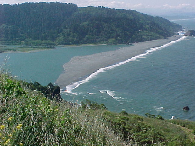 Click on image to enlarge (75K).
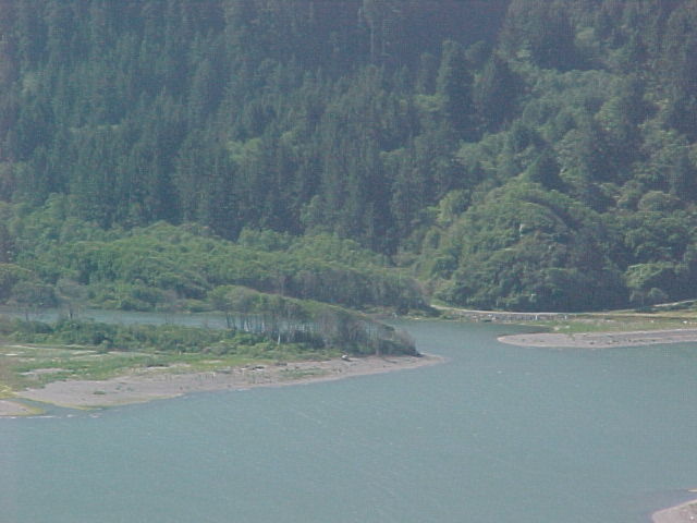 Click on image to enlarge (46K).
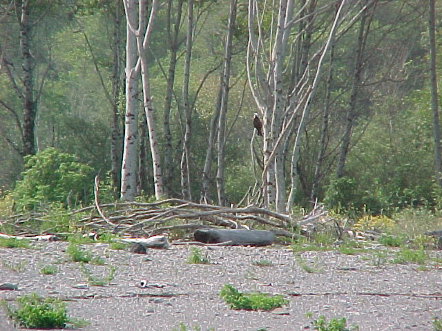 Click on image to enlarge (97K).
To learn more about this topic click Info Links
To view additional information (data source, aquisition date etc.) about this page, click Metadata
| www.krisweb.com |