
| Area | Lower Trinity/Basin-wide |
| Topic | Map: 1C. Rainfall, Trinity Basin |
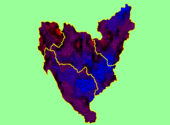
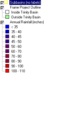
| This is a map of annual rainfall in the Trinity basin based on work by the Oregon Climate Service at Oregon State University, displayed along with sub-basins. Their model was based on 1961-1990 rainfall data. The highest rainfall occurred in areas of high relief in the Lower Trinity sub-basin. | |||
 |
 |
||
To view metadata about a map layer, click on a link in the table below.
| Name of Layer in Map Legend | Metadata File Name |
|---|---|
| Subbasins (no labels) | subbasins_trin.shp.txt |
| Frame Project Outline | Unavailable |
| Annual Rainfall (inches) | rain61_90.shp.txt |
| Elevation (meters)(USGS)(TIFF) | elev30.tif.txt |
| Topographic Map (1:24k scale) | trinity.sid.txt |
| www.krisweb.com |