
| Area | Lower Trinity/Basin-wide |
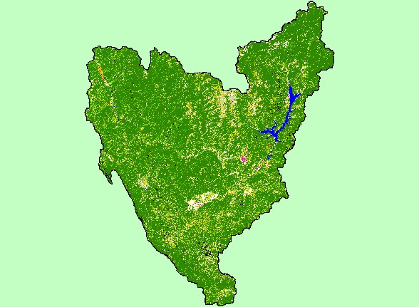
| Topic | Map: 1D. EPA Landcover/Landuse, Trinity Basin |
| This is a map of the EPA Landcover/Landuse in the Trinity basin, based on a 1992 Landsat TM satellite image. The majority of the basin is conifer forest (dark green) and mixed conifer forest (bright green), with significant areas of hardwoods, shrubs, and grasslands. Human populations numbers in the Trinity basin are small, and only a small fraction of the basin is urbanized (pink and purple). Agriculture is shown here in orange and exists mostly in flat land near rivers. | |||
 |
 |
||
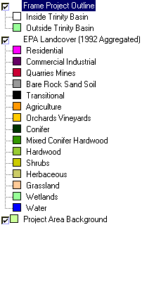
To view metadata about a map layer, click on a link in the table below.
| Name of Layer in Map Legend | Metadata File Name |
|---|---|
| Frame Project Outline | Unavailable |
| EPA Landcover (1992 Aggregated) | lndcov2.tif.txt |
| EPA Landcover (1992 Unaggregated) | lndcov.tif.txt |
| Topographic Map (1:24k scale) | trinity.sid.txt |
| Project Area Background | trin_outl.shp.txt |
| www.krisweb.com |