
| Area | Lower Trinity/Basin-wide |
| Topic | Temperature: Floating Weekly Average Sharber-Peckham Cr. 1997-98 |
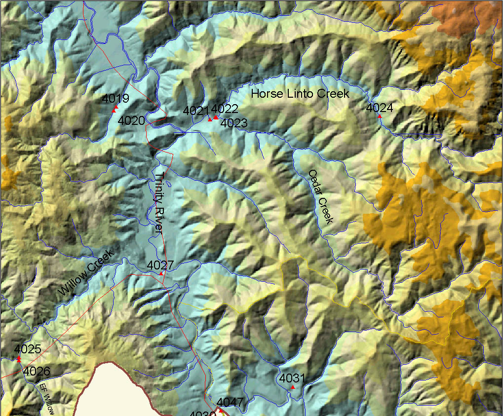
The map image above comes from the KRIS Trinity Map ArcView project and it shows the location of Lower Trinity temperature gauges deployed by Six Rivers National Forest. Sharber-Peckham Creek is site # 4031. For a key to location numbers, please see Info Links.
 Click on image to enlarge (314K).
To learn more about this topic click Info Links
To view additional information (data source, aquisition date etc.) about this page, click Metadata
| www.krisweb.com |