
| Area | Mainstem Klamath |
| Topic | Tour: 2002 Mainstem Klamath Photo Points (1) Iron Gate to Seiad Valley |
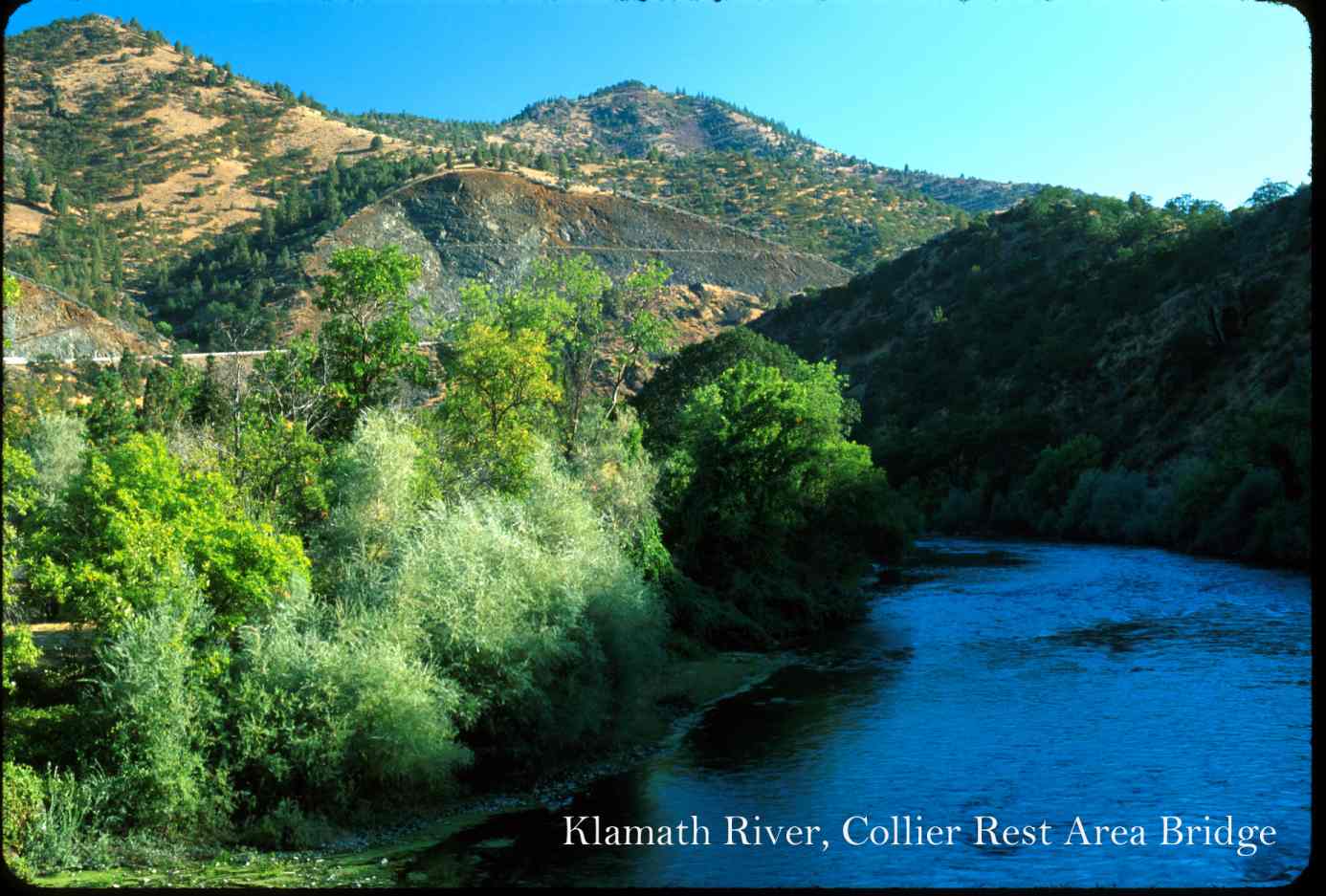
This photo shows the Klamath River at the Collier Rest Area Bridge. Photo contributed by Michael Hentz. 2002.
This photo shows the Klamath River below the Shasta River with Highway 96 at right. Photo contributed by Michael Hentz. 2002.
This photo shows the Klamath River with the Shasta River confluence just short of the large promontory on the left. Photo contributed by Michael Hentz. 2002.
This photo shows the Klamath River at Ash Creek looking downstream. Photo contributed by Michael Hentz. 2002.
This photo shows the Klamath River at Ash Creek looking upstream. Photo contributed by Michael Hentz. 2002.
This photo shows the Klamath River at the Tree of Heaven. Photo contributed by Michael Hentz. 2002.
This photo shows the Klamath River canyon off Highway 96 Bridge just east of the town of Seiad Valley. Photo contributed by Michael Hentz. 2002.
This photo shows the Klamath River in an open reach in Seiad Valley. Photo contributed by Michael Hentz. 2002.
 Click on image to enlarge (124K).
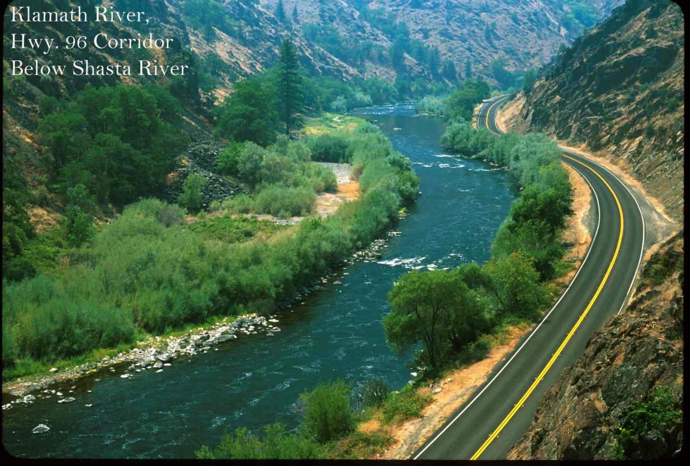 Click on image to enlarge (124K).
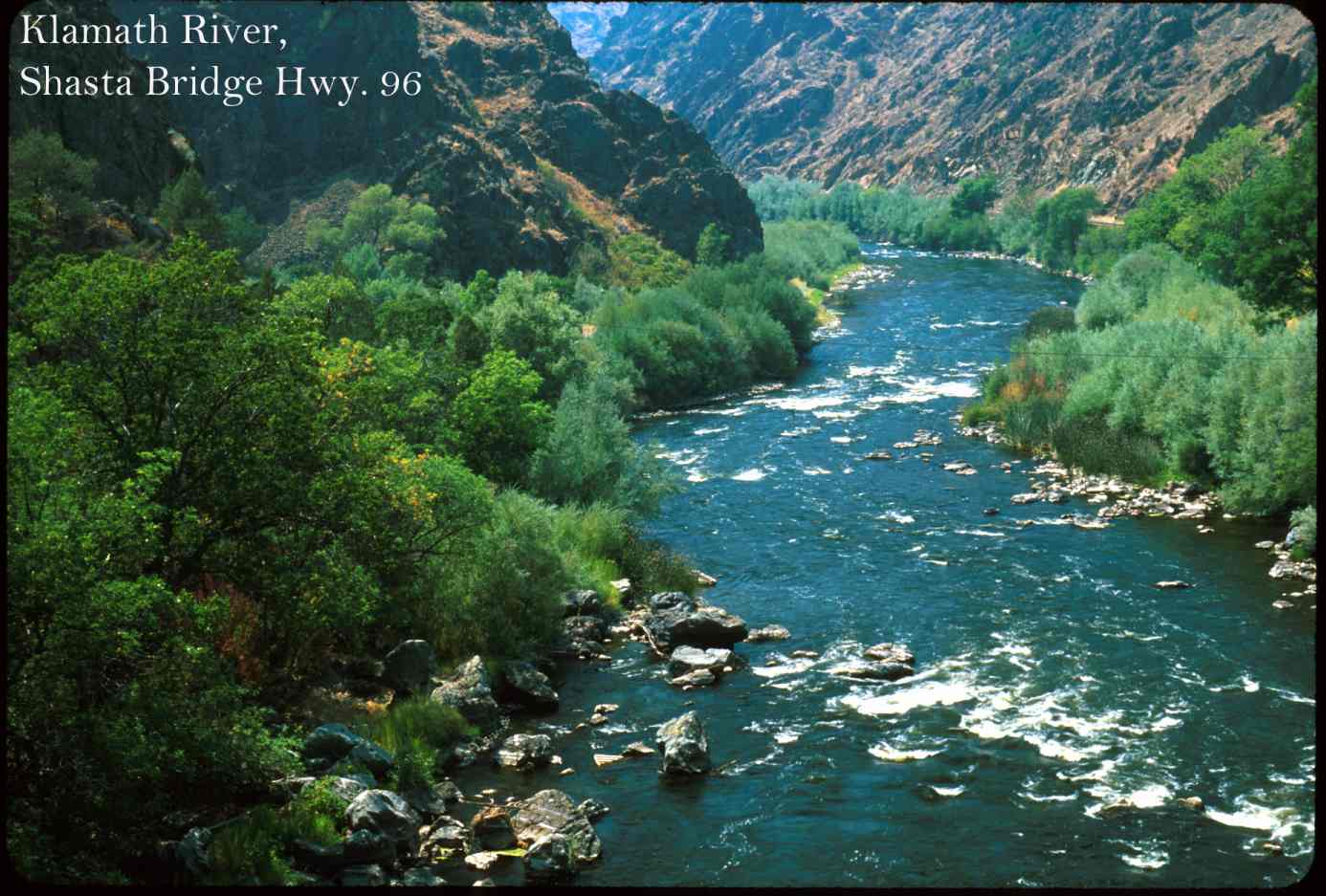 Click on image to enlarge (133K).
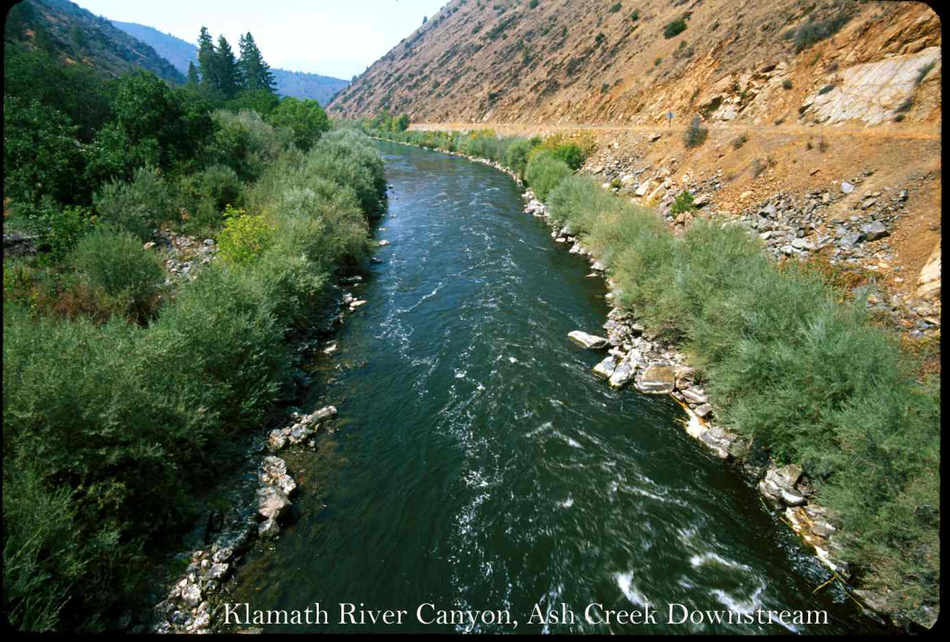 Click on image to enlarge (139K).
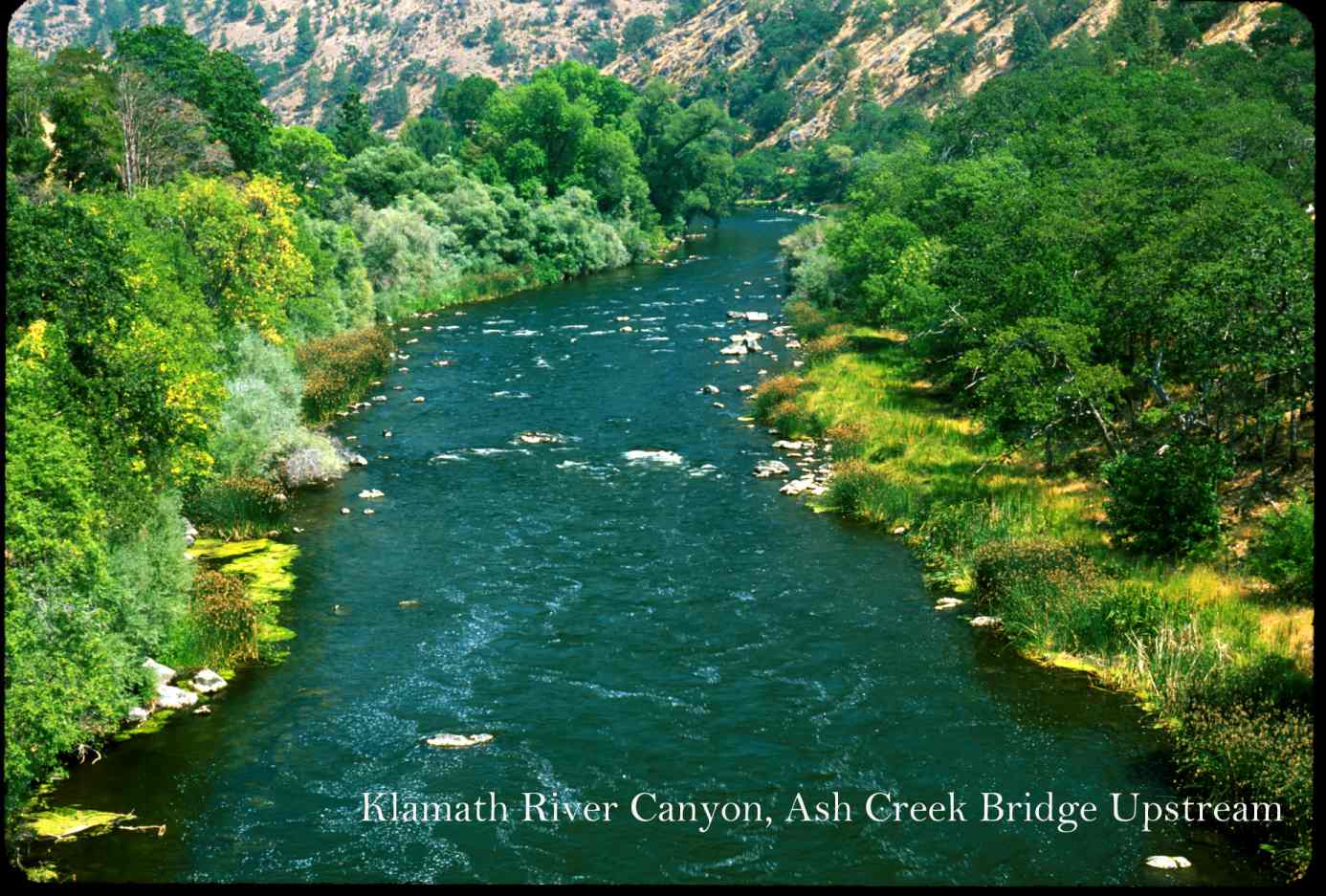 Click on image to enlarge (158K).
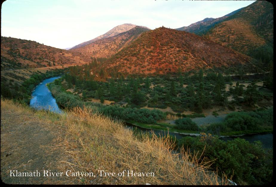 Click on image to enlarge (100K).
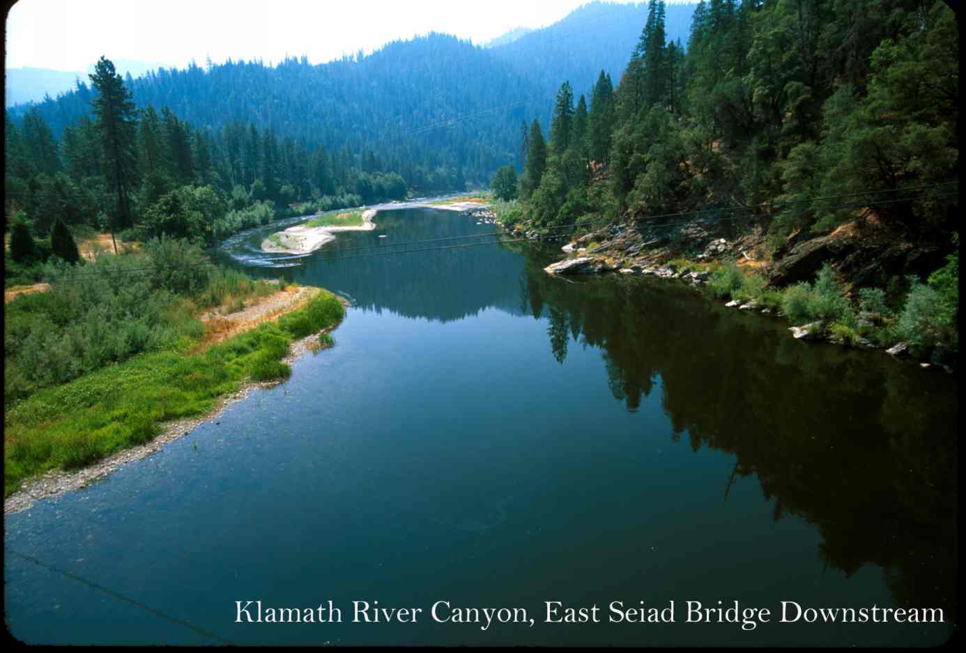 Click on image to enlarge (77K).
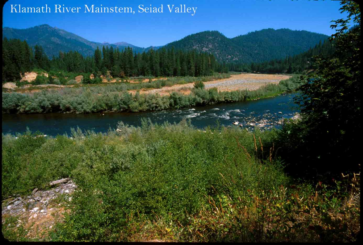 Click on image to enlarge (129K).
To learn more about this topic click Info Links
To view additional information (data source, aquisition date etc.) about this page, click Metadata
| www.krisweb.com |