
| Area | Mainstem Klamath |
| Topic | Tour: 2002 Mainstem Klamath Photo Points (3) Independence-Sommes Bar |
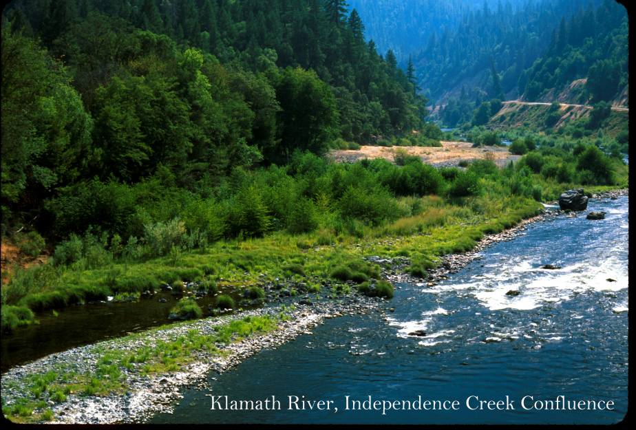
This photo shows the Klamath River with Independence Creek joining from the left. Photo contributed by Michael Hentz. 2002.
This photo shows the Klamath River in the China Creek reach. Photo contributed by Michael Hentz. 2002.
This photo shows the Klamath River north of Dillon Creek. Photo contributed by Michael Hentz. 2002.
This photo shows the Klamath River below Dillon Creek. Photo contributed by Michael Hentz. 2002.
This photo shows the Klamath River below Rogers Creek. Photo courtesy of Michael Hentz. 2002.
This photo shows the Klamath River looking downstream off the Highway 96 Bridge at the east end of Orleans. Photo contributed by Michael Hentz. 2002.
This photo shows the Klamath River at Big Bar where the USFWS downstream migrant trap is operated. Photo contributed by Michael Hentz. 2002.
This photo shows the Klamath River at Ash Creek. Photo contributed by Michael Hentz. 2002.
 Click on image to enlarge (120K).
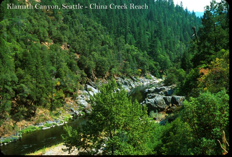 Click on image to enlarge (147K).
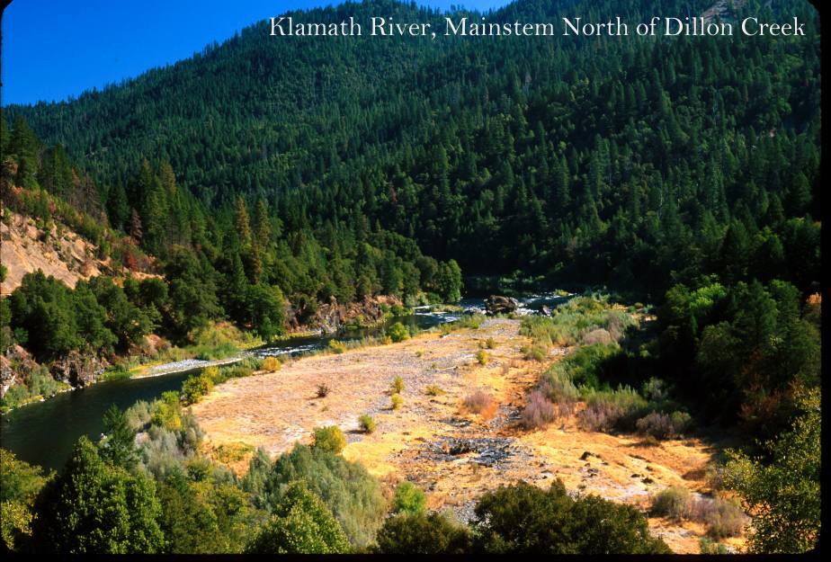 Click on image to enlarge (122K).
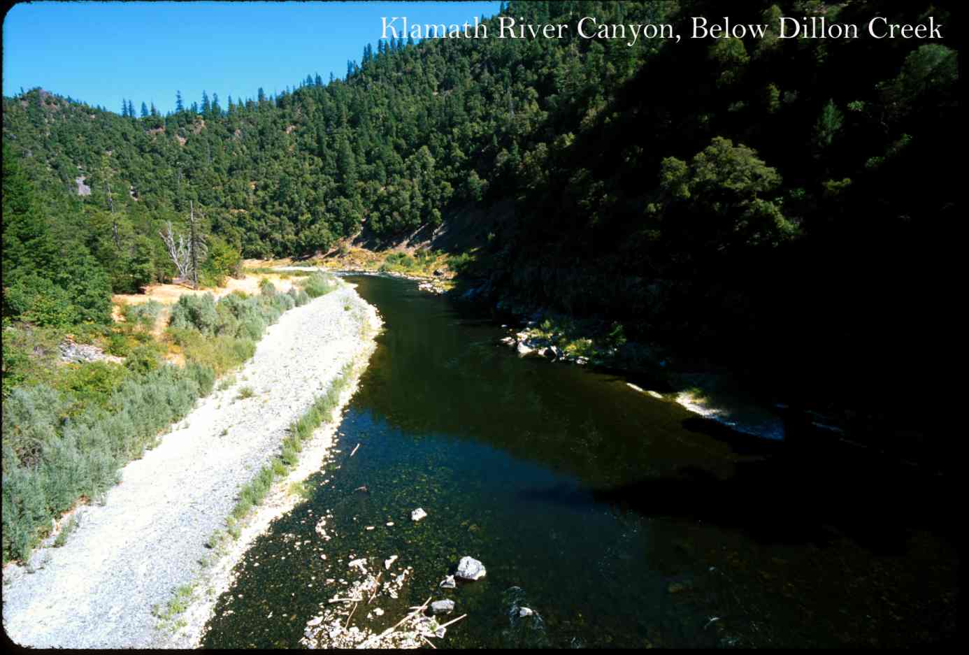 Click on image to enlarge (98K).
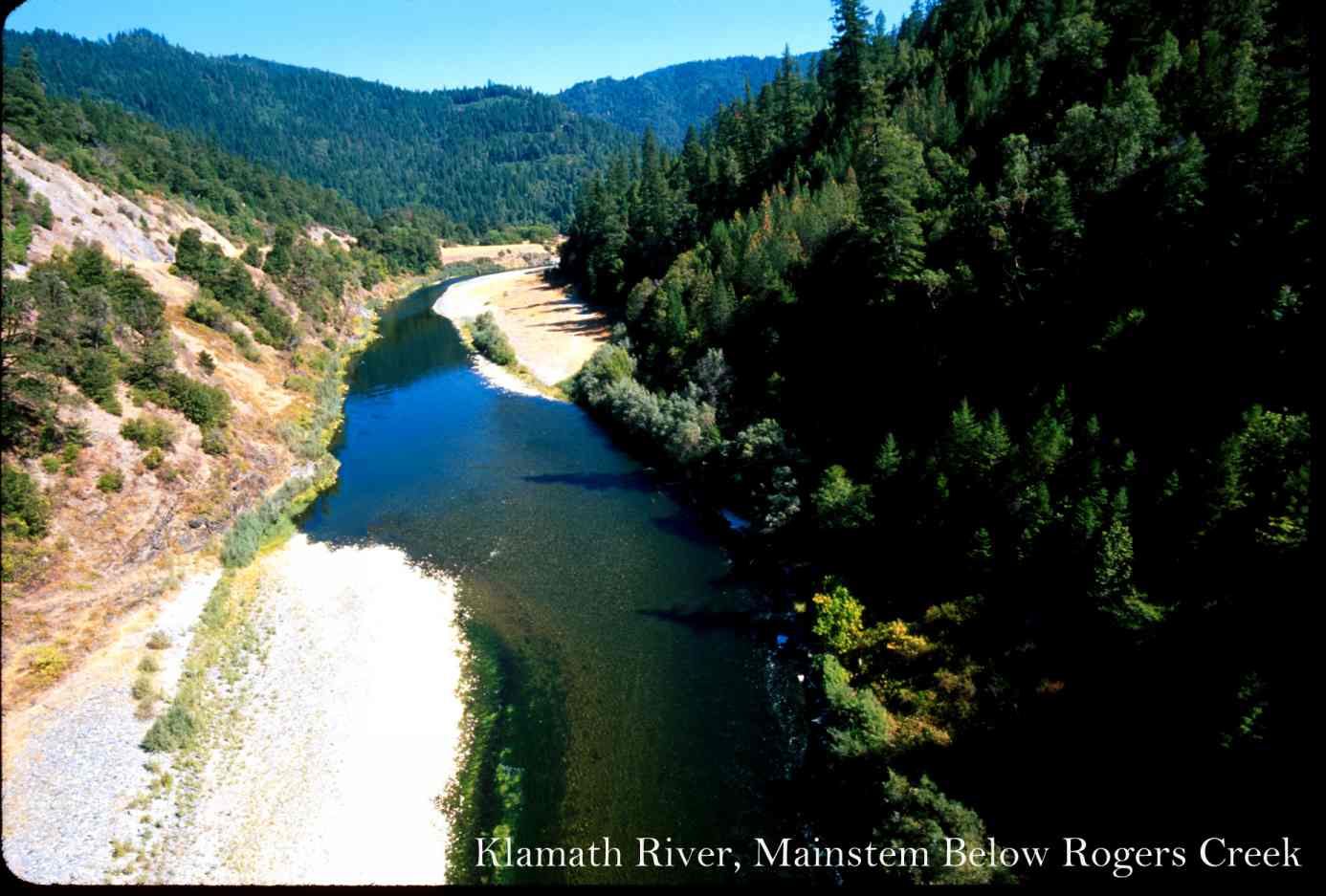 Click on image to enlarge (102K).
 Click on image to enlarge (88K).
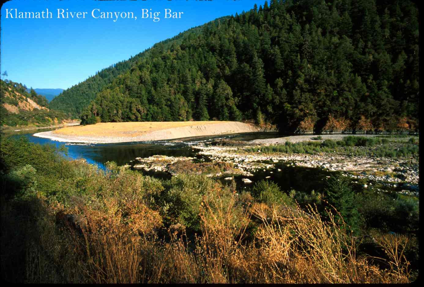 Click on image to enlarge (141K). Click on image to enlarge (88K).
To learn more about this topic click Info Links
To view additional information (data source, aquisition date etc.) about this page, click Metadata
| www.krisweb.com |