
| Area | Mainstem Klamath |
| Topic | Tour: Yurok Flow Study Sites on the Klamath |
Brown bear Yurok temperature monitoring site where data are collected as part of the Klamath Flow Study. Brown bear is above Horse Creek on the main Klamath. Photo courtesy of Yurok Tribal Fisheries Program, Water Management and Rights Protection Division, Weitchpec, CA.
This photo shows the convergence of Bluff Creek and the Klamath River on June 29, 2000. Photo courtesy of Yurok Tribal Fisheries Program, Water Management and Rights Protection Division, Weitchpec, CA.
This split screen view was taken looking from the Klamath River looking upstream into Bluff Creek. Photo courtesy of Yurok Tribal Fisheries Program, Water Management and Rights Protection Division, Weitchpec, CA.
This photo was taken from the Highway 101 bridge at the top of the Klamath estuary where the Yurok Tribe Fisheries Program measures flow to help calibrate USGS gauge at Terwer. Photo courtesy of Yurok Tribal Fisheries Program, Water Management and Rights Protection Division, Weitchpec, CA.
This photo shows the Highway 96 bridge over the Klamath at Orleans, California. The Yurok stream temperature gauge is about one half mile upstream near the mouth Pearch Creek. Photo courtesy of Yurok Tribal Fisheries Program, Water Management and Rights Protection Division, Weitchpec, CA.
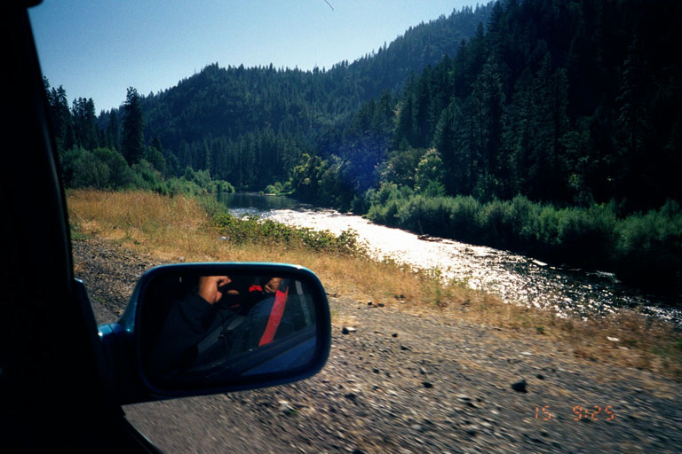
This photo shows the Highway 96 bridge above Rogers Creek which is just out of the photo to the right. This location was not only monitored for temperature but also as a total station for the Klamath River Flow Study. Photo courtesy of Yurok Tribal Fisheries Program, Water Management and Rights Protection Division, Weitchpec, CA.
This photo shows the Klamath River at Seiad Valley with Seiad Creek coming in from left in the foreground. Grider Creek joins the Klamath at upper center of photo from right. The Yurok Tribe Fisheries Department monitored water temperature downstream of this site and also collected data for a two-dimensional (2D) model as part of the Klamath River Flow Study. Photo courtesy of Yurok Tribal Fisheries Program, Water Management and Rights Protection Division, Weitchpec, CA.
This photo shows the Tree of Heaven water quality and total station monitoring site where the Yurok Tribe Fisheries Department collects data for the Klamath River Flow Study. The side channel opposite provides winter rearing habitat for juvenile salmonids but dries up during summer. Photo courtesy of Yurok Tribal Fisheries Program, Water Management and Rights Protection Division, Weitchpec, CA.
 Click on image to enlarge (106K).
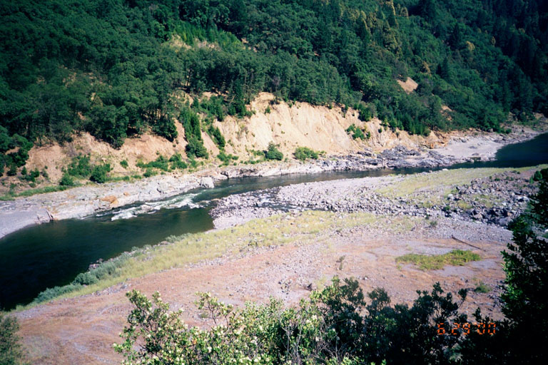 Click on image to enlarge (167K).
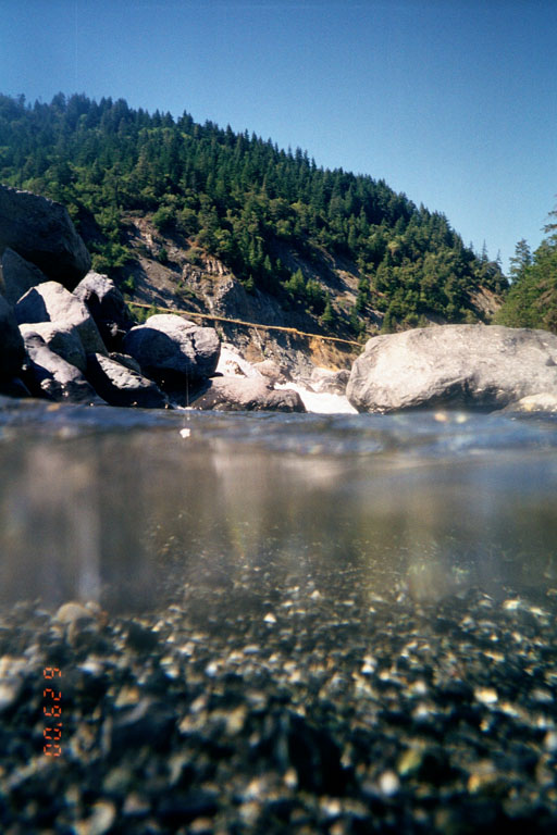 Click on image to enlarge (105K).
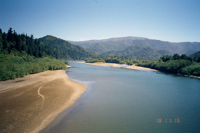 Click on image to enlarge (84K).
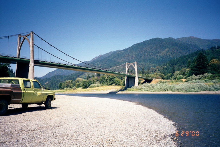 Click on image to enlarge (117K).
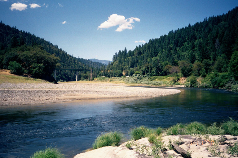 Click on image to enlarge (118K).
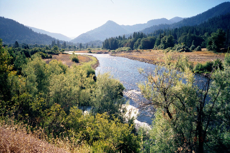 Click on image to enlarge (173K).
 Click on image to enlarge (151K).
To learn more about this topic click Info Links
To view additional information (data source, aquisition date etc.) about this page, click Metadata
| www.krisweb.com |