
| Area | Mainstem Trinity |
| Topic | Temperature: Floating Weekly Average Trinity River Sites 2002 |
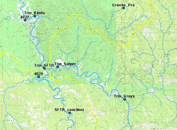
| This map shows the locations of Six Rivers National Forest temperature monitoring stations on the mainstem Trinity River for the years 2001-2002, displayed with 1:24,000 scale perennial streams, sub-basin boundaries, and a topographic map. Scale = 1:139,085 . | |||
 |
 |
||
To view metadata about a map layer, click on a link in the table below.
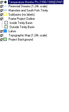
| Name of Layer in Map Legend | Metadata File Name |
|---|---|
| Temperature Monitor Pts (1990-1998)[SRNF] | temp_pts_sixrivers.shp.txt |
| Perennial Streams (1:24k scale) | tcsf_str_perennial.shp.txt |
| Mainstem and South Fork Trinity | trin_riv.shp.txt |
| Subbasins (no labels) | subbasins_trin.shp.txt |
| Frame Project Outline | Unavailable |
| Lakes | tc_lakes.shp.txt |
| Elevation (meters)(USGS)(TIFF) | elev30.tif.txt |
| Topographic Map (1:24k scale) | trinity.sid.txt |
| Grayscale Hillshade of Elevation | grayscale30.tif.txt |
| Slope of Elevation (TIFF) | slope1.tif.txt |
| Project Background | trin_outl.shp.txt |
| www.krisweb.com |