
| Area | Mainstem Trinity |
| Topic | Tour: 1997 High Water below Trinity Dam |
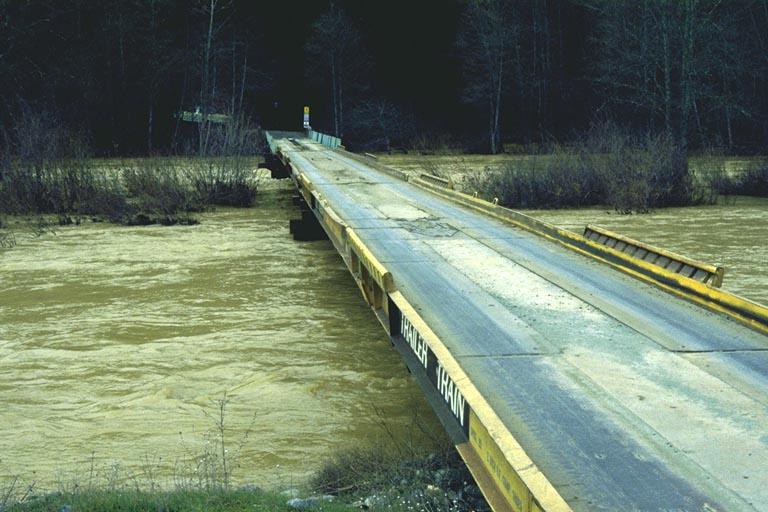
Salt Flat Bridge on January 2, 1997 with a Lewiston release of 6,000 cfs but substantially more inflow added by tributaries such as Rush Creek. Photos provided by U.S. Fish and Wildlife Service, Arcata, CA.
Oregon Gulch Side Channel outlet on January 2, 1997 during high water. Photos provided by U.S. Fish and Wildlife Service, Arcata, CA.
Sawmill Side Channel with flooding of adjacent terrace during high flows on 1/2/97. Photos provided by U.S. Fish and Wildlife Service, Arcata, CA.
Trinity River at Salt Flat Side Channel inlet at high flows on 1/2/97. The tree in the center of the photo is generally the margin of the active channel. Photos provided by U.S. Fish and Wildlife Service, Arcata, CA.
Unidentified side channel and overflow on 1/2/97. Photos provided by U.S. Fish and Wildlife Service, Arcata, CA.
Trinity River at high flows on 1/2/97 at unknown location. Photos provided by U.S. Fish and Wildlife Service, Arcata, CA.
Sawmill side channel during high flows on 1/1/97. Photos provided by U.S. Fish and Wildlife Service, Arcata, CA.
 Click on image to enlarge (84K).
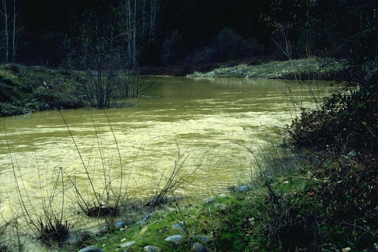 Click on image to enlarge (102K).
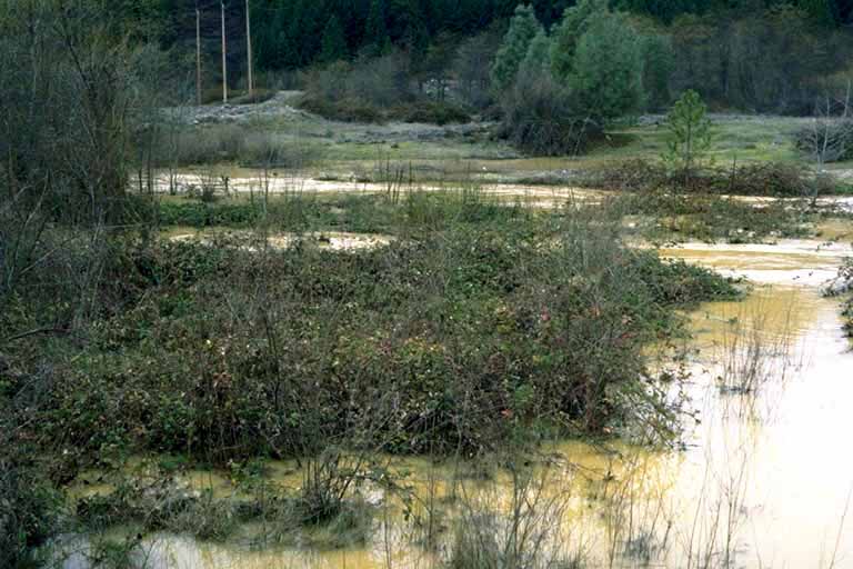 Click on image to enlarge (62K).
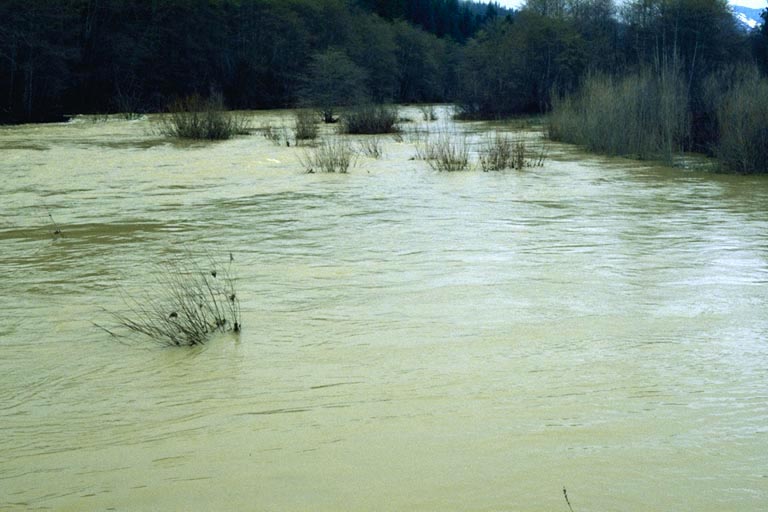 Click on image to enlarge (68K).
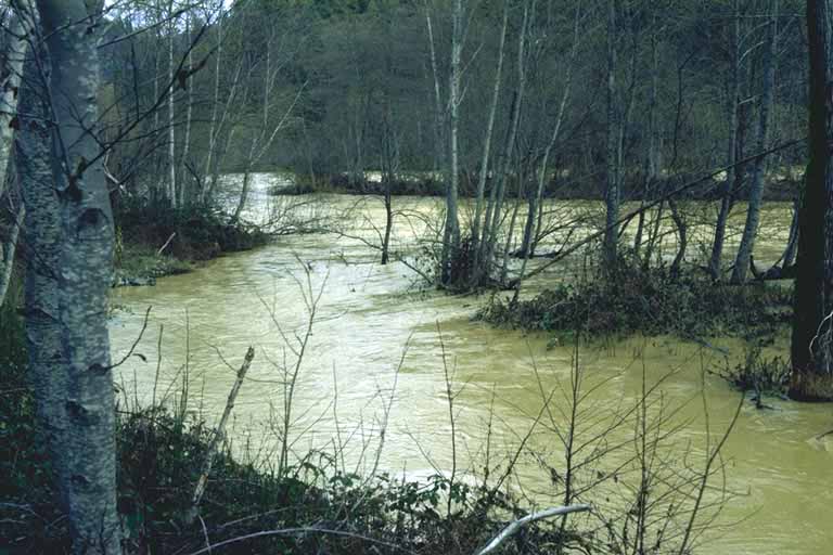 Click on image to enlarge (61K).
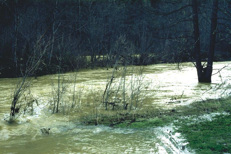 Click on image to enlarge (106K).
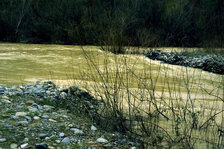 Click on image to enlarge (128K).
To learn more about this topic click Info Links
To view additional information (data source, aquisition date etc.) about this page, click Metadata
| www.krisweb.com |