
| Area | Mainstem Trinity |
| Topic | Tour: Historical Aerial Photos 1989 |
Aerial photo of the Trinity River at Lewiston taken in May 1989. Click off "Fit" in upper left of screen to see more detail. Use scroll bars on the right and bottom of photo to see different areas. The close up view shows some homes very near the river and a dense riparian corridor. Photos provided by the Bureau of Reclamation.
Trinity River aerial photo at Lewiston taken in 1989. Photo encompasses upper half of DWR Lewiston sub-division. Photos provided by the Bureau of Reclamation.
This aerial photo overlaps with the coverage in Picture #2. There appear to be numerous houses in the flood plain very close to the river in the upper portion of the photo. These represent the lower half of the Lewiston subdivision. Photos provided by the Bureau of Reclamation.
Aerial photograph at the convergence of Rush Creek and the Trinity River taken on May 19, 1989. The intake to the Rush Creek Side Channel can be seen just downstream of the creek. Photos provided by the Bureau of Reclamation.
This photo clearly shows one of the pilot side channels at right and rearing ponds for excess juvenile salmonids from the hatchery on the left. Photos provided by the Bureau of Reclamation.
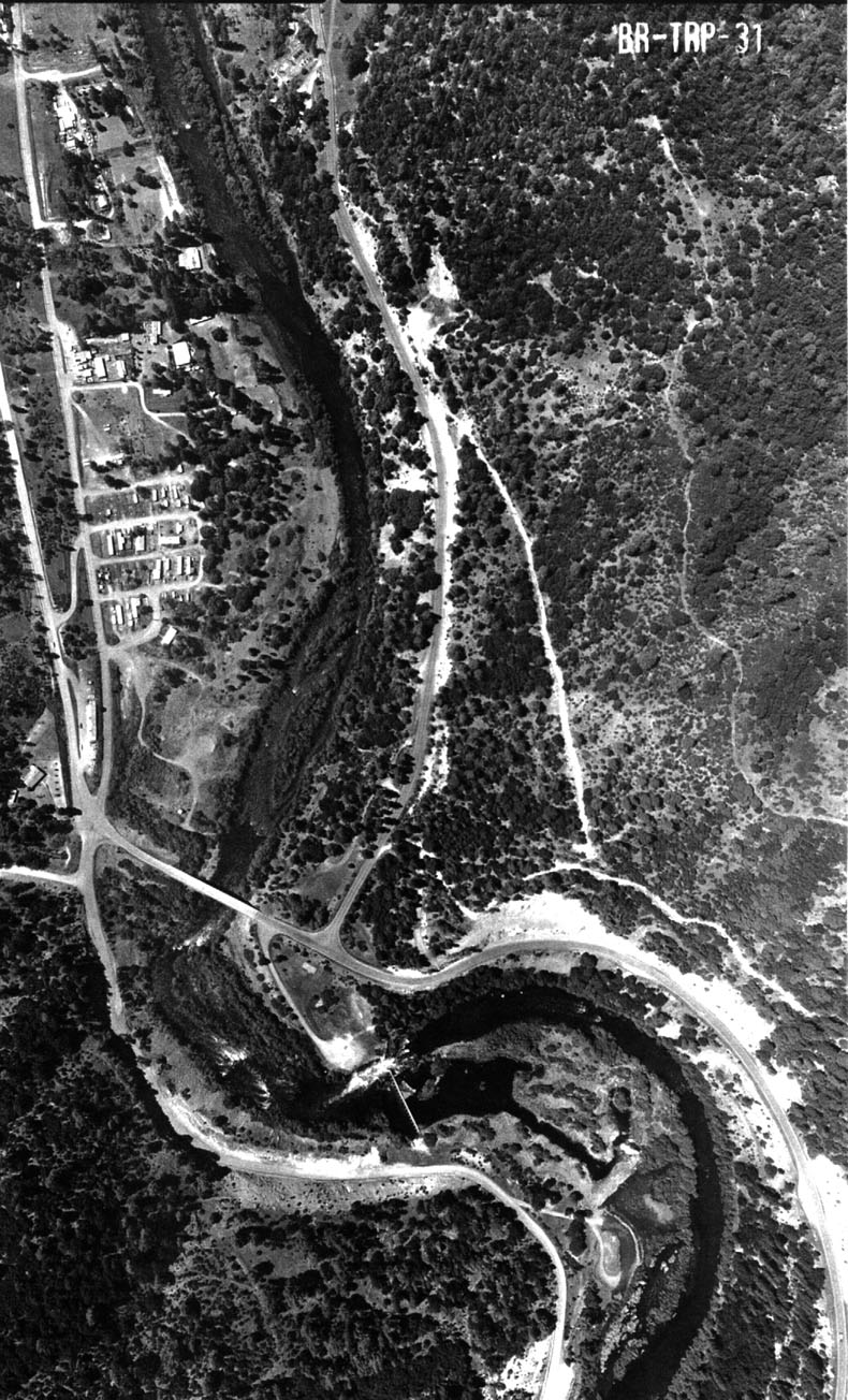
Trinity River shown in an aerial photograph taken on May 19, 1989 at Gold Bar/Salt Flat area. The Salt Flat subdivision is at the left center of the photograph. Photos provided by the Bureau of Reclamation.
Photos provided by the Bureau of Reclamation.
Mouth of Grass Valley Creek in 1989 at its convergence with the Trinity River. Note the lack of an active sediment plume, but also catchment basin for decomposed granite sands (see Hamilton Ponds Tour in Middle Trinity Basin). Photos provided by the Bureau of Reclamation.
 Click on image to enlarge (290K).
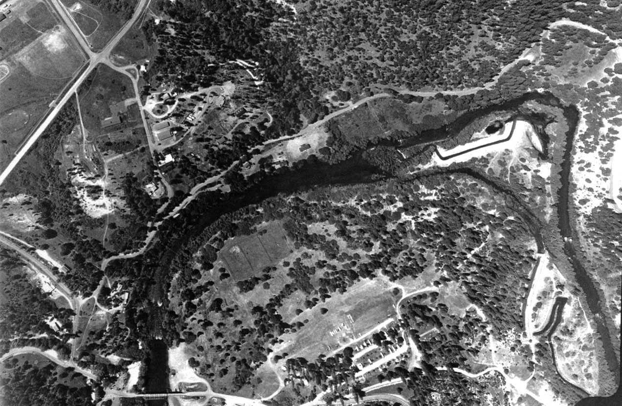 Click on image to enlarge (344K).
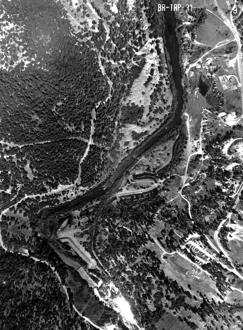 Click on image to enlarge (339K).
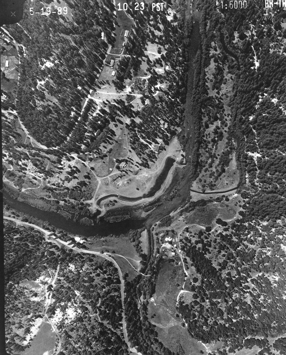 Click on image to enlarge (338K).
 Click on image to enlarge (321K).
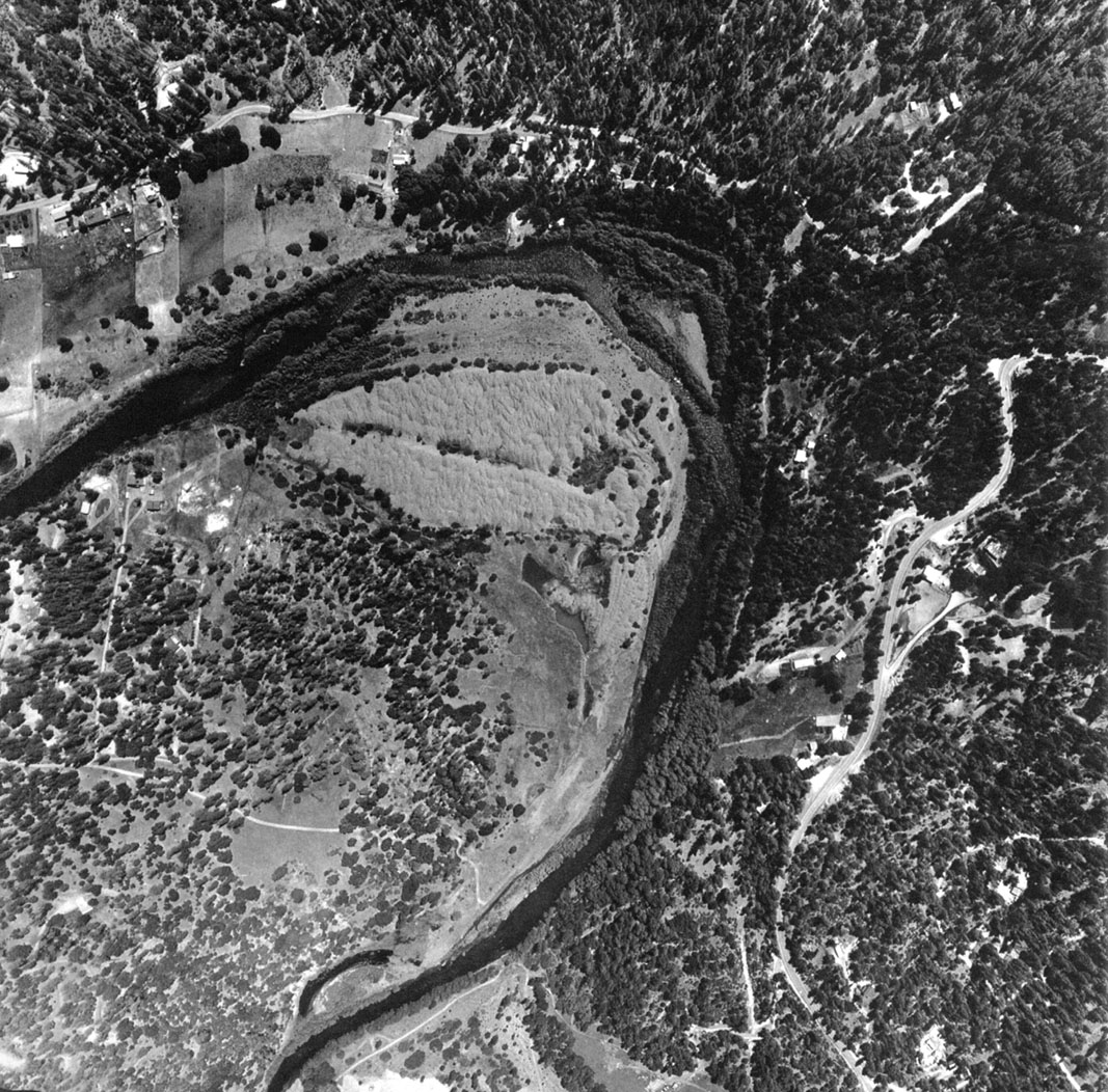 Click on image to enlarge (382K).
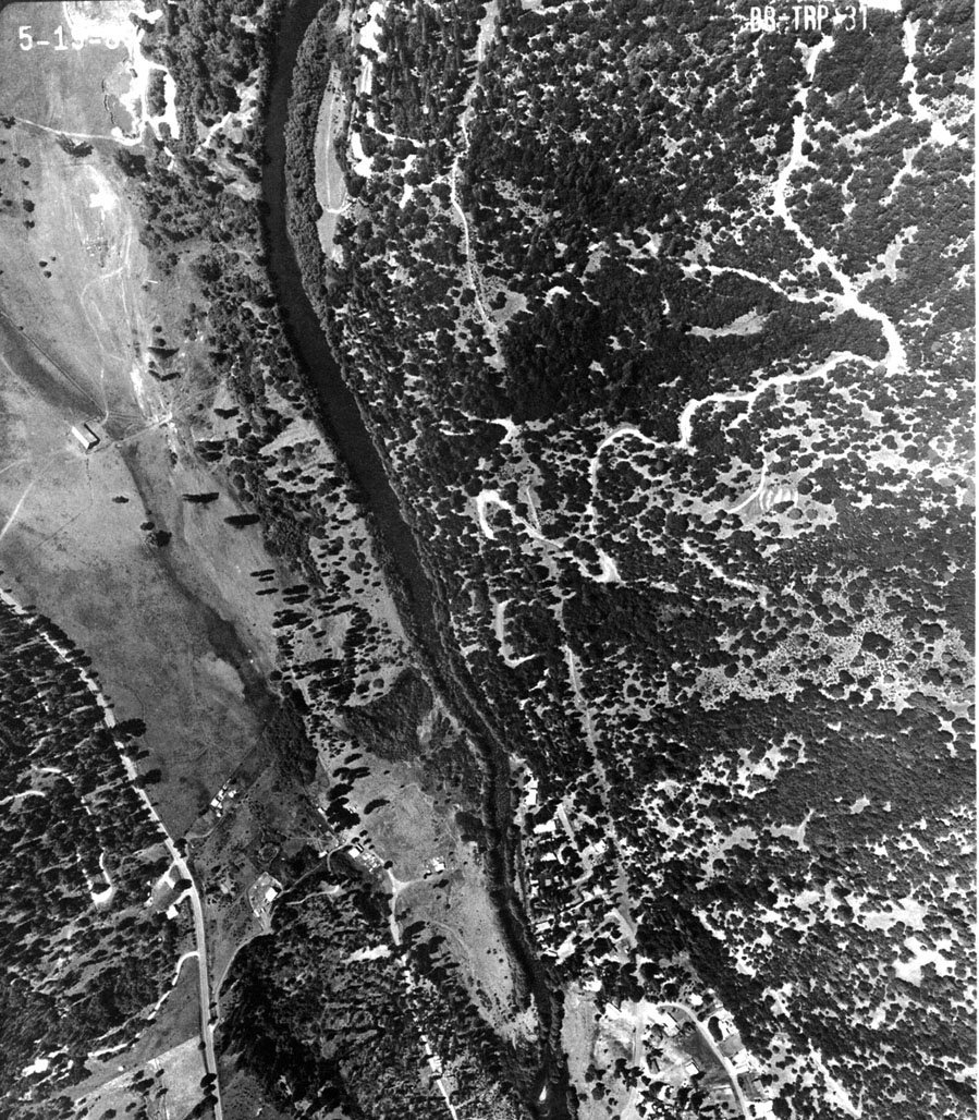 Click on image to enlarge (361K).
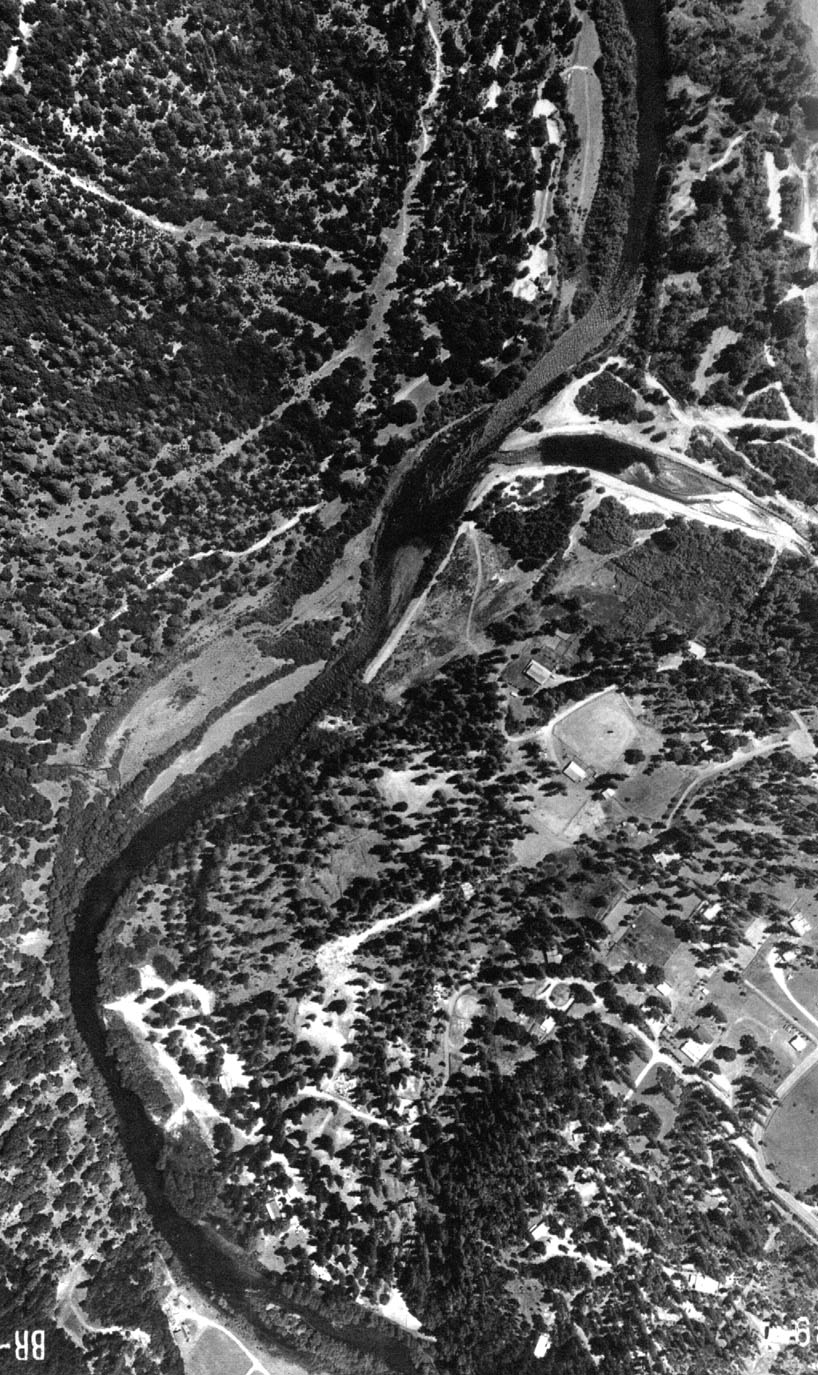 Click on image to enlarge (313K).
To learn more about this topic click Info Links
To view additional information (data source, aquisition date etc.) about this page, click Metadata
| www.krisweb.com |