
| Area | Mainstem Trinity |
| Topic | Tour: Historical Aerials Photos 1989 #2 |
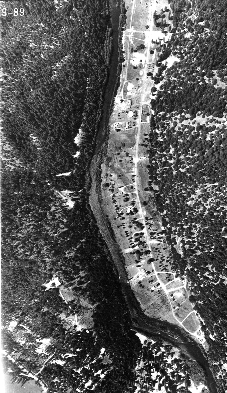
Aerial photograph of the Trinity River on May 19, 1989. Poker Flat subdivision. Photos provided by the Bureau of Reclamation.
Aerial photograph of the Trinity River below Lewiston on May 19, 1989. Photos provided by the Bureau of Reclamation.
Top of Steel Bridge subdivision as seen from an aerial photo taken on May 19, 1989. Photos provided by the Bureau of Reclamation.
Steel Bridge subdivision as seen in a May 19, 1989 aerial photograph. To see how close structures are to the river, click off "Fit" in the upper left of this screen then scroll down using scroll arrows at right. Photos provided by the Bureau of Reclamation.
Mainstem Trinity swings close to Highway 299 above Indian Creek. Note the closely encroaching riparian on the river channel. Photos provided by the Bureau of Reclamation.
The convergence of Indian Creek and the mainstem Trinity River. Photos provided by the Bureau of Reclamation.
 Click on image to enlarge (294K).
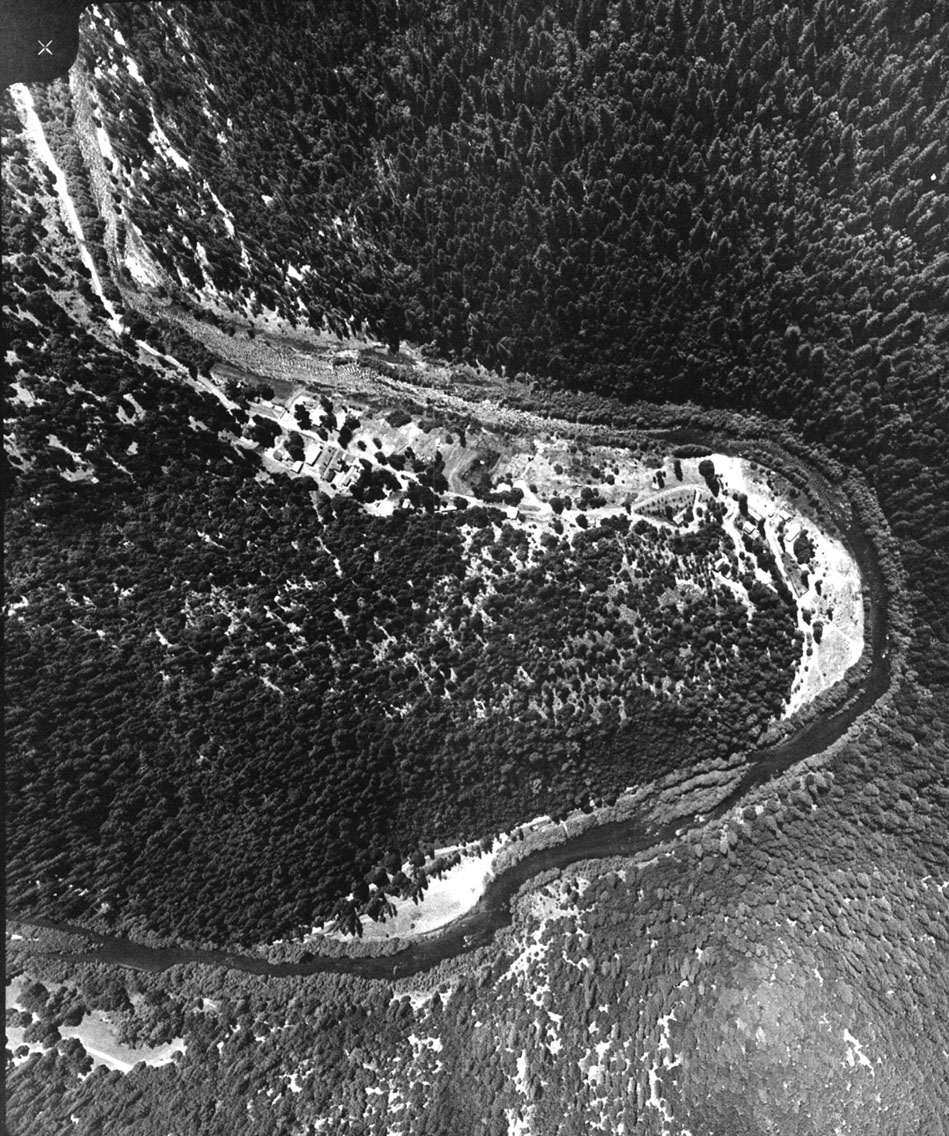 Click on image to enlarge (367K).
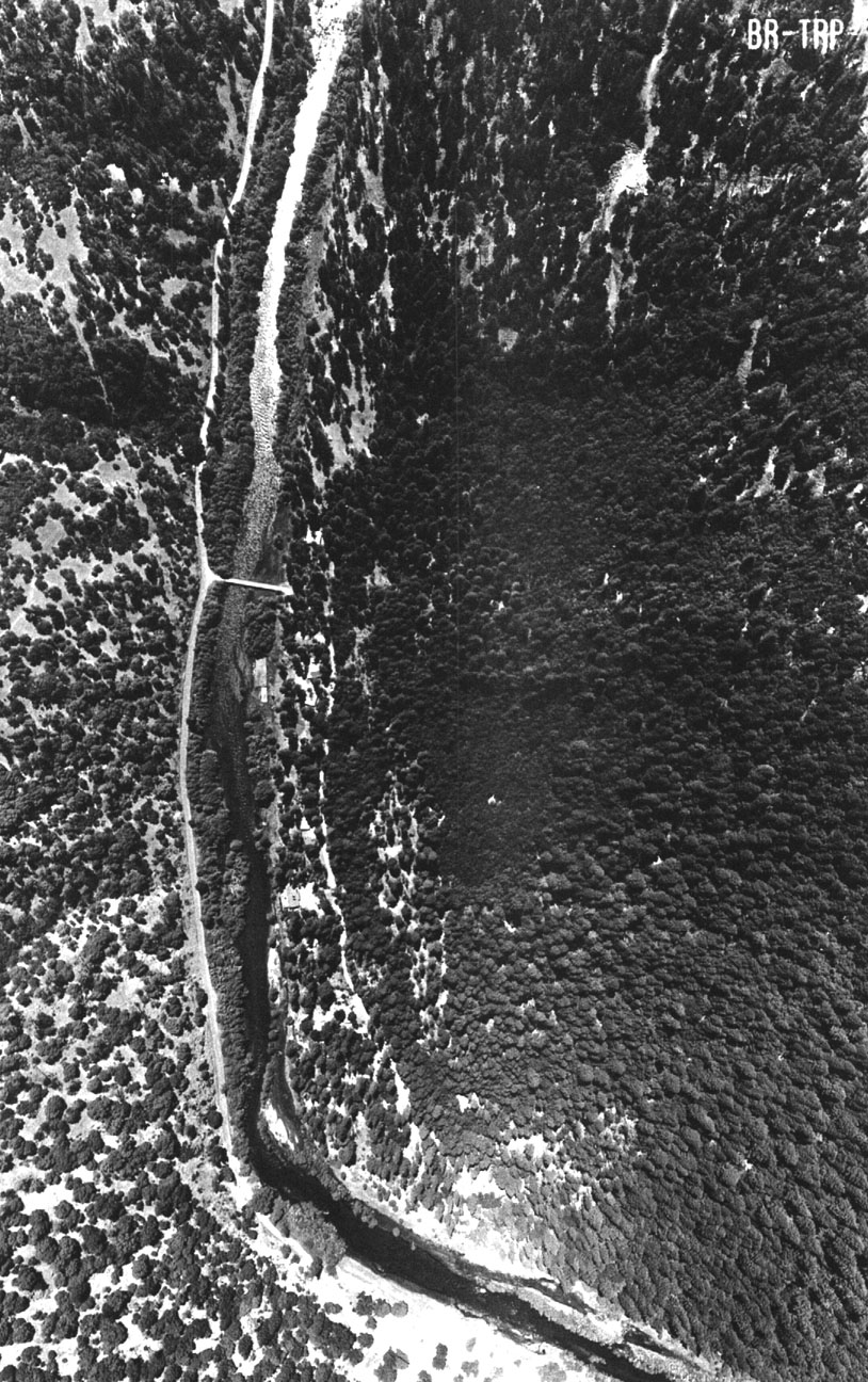 Click on image to enlarge (353K).
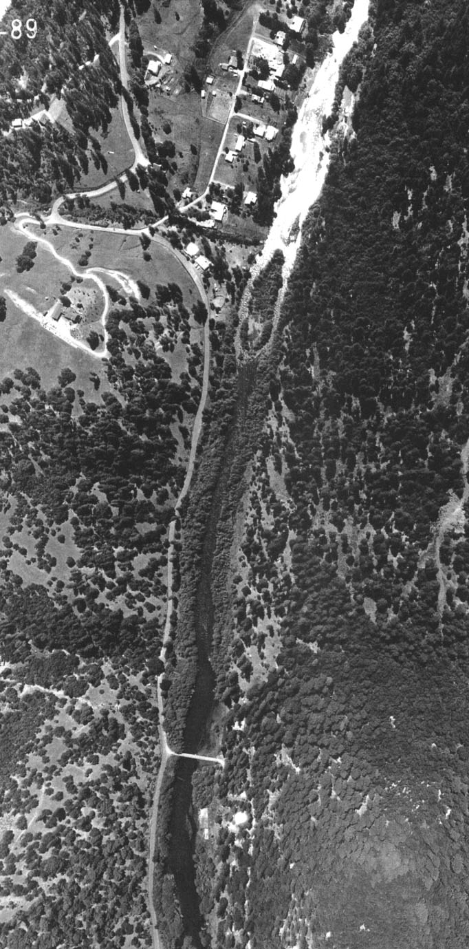 Click on image to enlarge (218K).
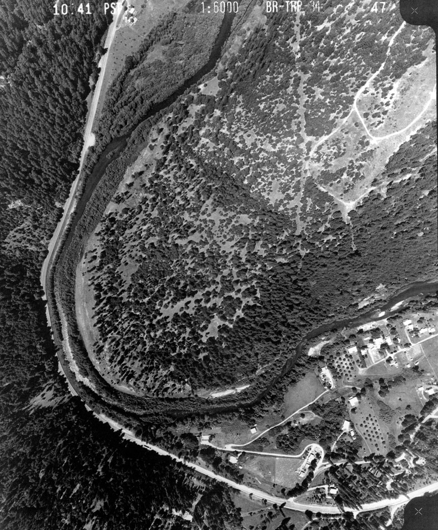 Click on image to enlarge (325K).
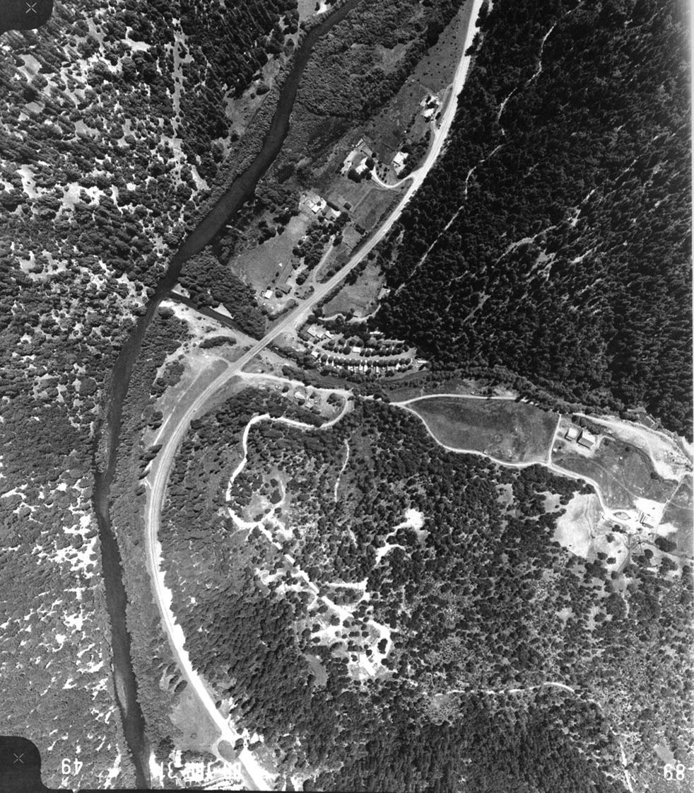 Click on image to enlarge (373K).
To learn more about this topic click Info Links
To view additional information (data source, aquisition date etc.) about this page, click Metadata
| www.krisweb.com |