
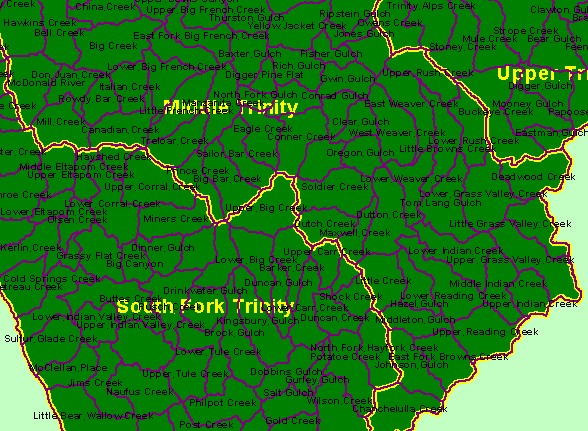
| Area | Middle Trinity |
| Topic | Map: 1A. Calwater Planning Watersheds, Middle Trinity Sub-basin South |
| This is a map of the Calwater Planning Watersheds in the southern portion of the Middle Trinity sub-basin. Calwater Planning Watersheds are standardized watershed boundaries used throughout California by many agencies. | |||
 |
 |
||
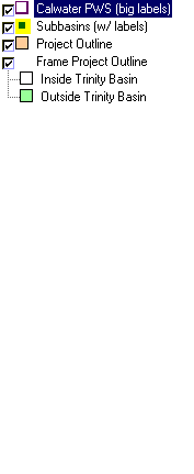
To view metadata about a map layer, click on a link in the table below.
| Name of Layer in Map Legend | Metadata File Name |
|---|---|
| Calwater PWS (big labels) | calw22.shp.txt |
| Subbasins (w/ labels) | subbasins_trin.shp.txt |
| Project Outline | trin_outl.shp.txt |
| Frame Project Outline | Unavailable |
| www.krisweb.com |