
| Area | Middle Trinity |
| Topic | Tour: New River Devils Canyon Creek Stream Survey Maps and Photos |
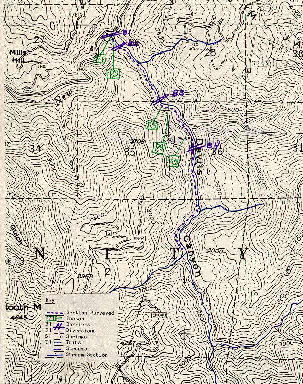
Map #1 of Devil's Canyon Creek taken from a USFS survey conducted on July 29-31, 1985 by Richard Feranna and Mike Lau.
Map #2 of Devil's Canyon Creek taken from a USFS survey conducted on July 29-31, 1985 by Richard Feranna and Mike Lau.
Mouth of Devils Canyon Creek at the New River. August 1985. Photo from the files of the Weaverville Ranger District, Shasta Trinity National Forest.
Barrier 1 50 yards upstream from mouth. Six foot high bedrock falls with pool below which is 10 ft. deep. Photo from the files of the Weaverville Ranger District, Shasta Trinity National Forest. 1985.
Typical section of Devils Canyon Creek. Picture taken about 150 yds. upstream from mouth. August 1985. Photo from the files of the Weaverville Ranger District, Shasta Trinity National Forest. 1985.
Hand drawn map of the survey reach in Devils Canyon Creek with tribs named and unnamed denoted. Scanned from the files of the Weaverville Ranger District, Shasta Trinity National Forest. 1985.
 Click on image to enlarge (187K).
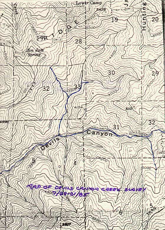 Click on image to enlarge (174K).
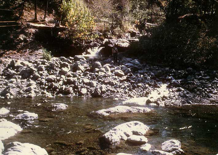 Click on image to enlarge (81K).
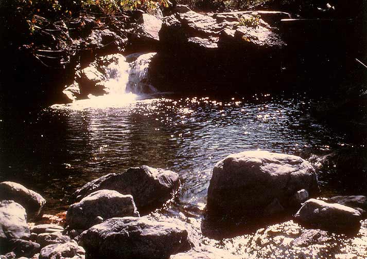 Click on image to enlarge (72K).
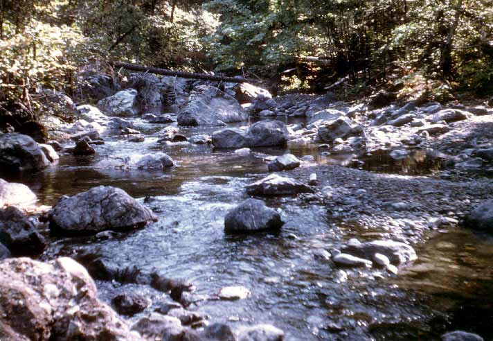 Click on image to enlarge (73K).
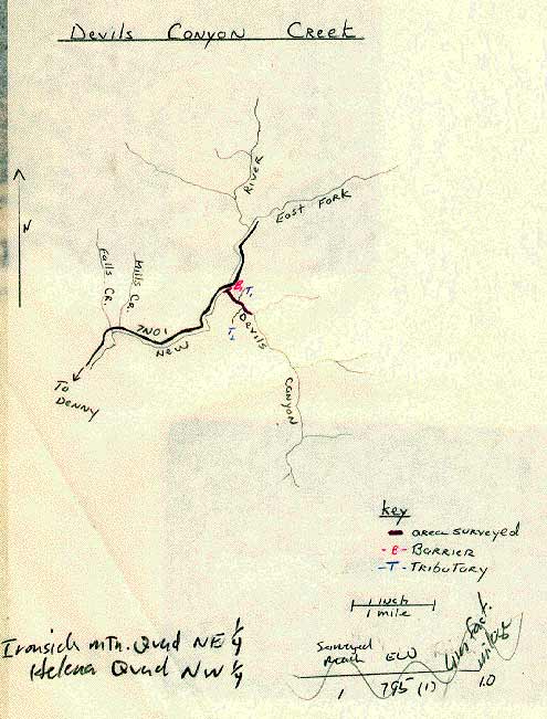 Click on image to enlarge (46K).
To learn more about this topic click Info Links
To view additional information (data source, aquisition date etc.) about this page, click Metadata
| www.krisweb.com |