
| Area | Middle Trinity |
| Topic | Tour: New River East Fork Stream Survey Maps and Photos |
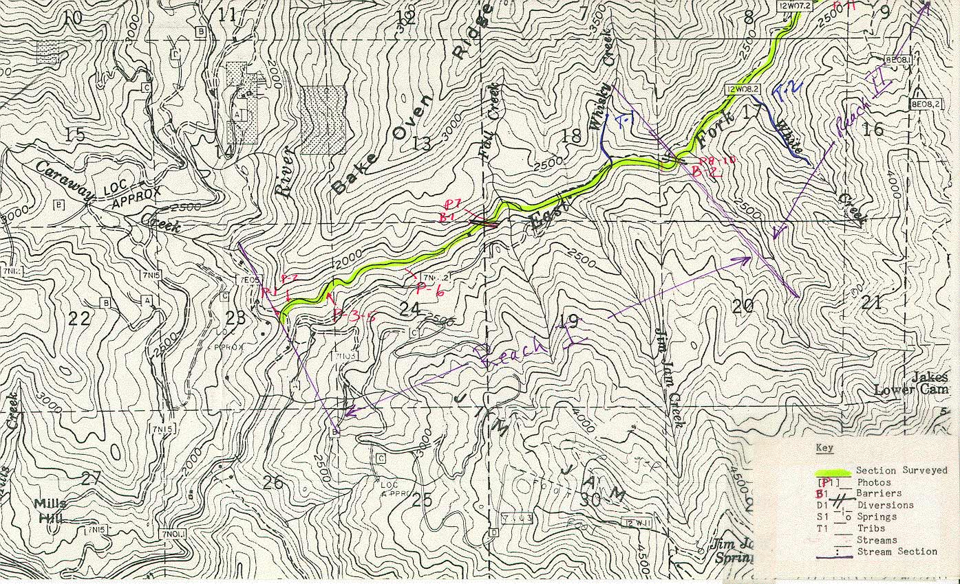
Map#1 from an USFS August 26-27, 1985 stream survey of the East Fork New River by Rich Feranna, Mike Lau and Joe Zustak.
Map#2 from an USFS August 26-27, 1985 stream survey of the East Fork New River by Rich Feranna, Mike Lau and Joe Zustak.
This photo shows the channel of the East Fork New River in a boulder strewn run. Note mature canopy and lack of scour on adjacent banks. Photo from the files of the Weaverville Ranger District, Shasta Trinity National Forest. 1985.
The East Fork turns a milky color in response to some sediment input upstream. Photo from the files of the Weaverville Ranger District, Shasta Trinity National Forest. 1985.
The East Fork Trinity River is shown here in a pocket water habitat. The large boulders and narrow, steep canyon indicate that this is likely a transport reach in winter. Photo from the files of the Weaverville Ranger District, Shasta Trinity National Forest. 1985.
 Click on image to enlarge (424K).
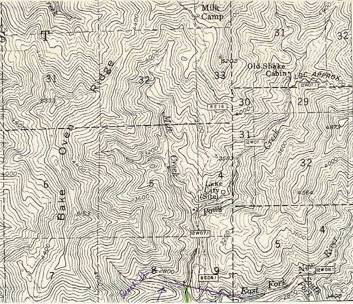 Click on image to enlarge (180K).
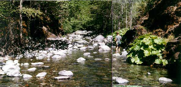 Click on image to enlarge (45K).
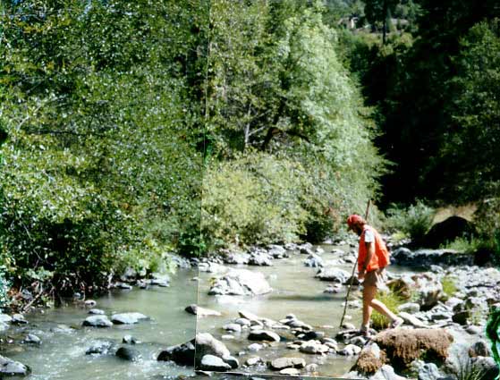 Click on image to enlarge (54K).
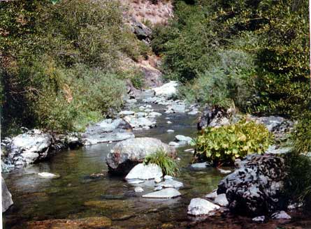 Click on image to enlarge (35K).
To learn more about this topic click Info Links
To view additional information (data source, aquisition date etc.) about this page, click Metadata
| www.krisweb.com |