
| Area | Middle Trinity |
| Topic | Tour: GVC Buckhorn Dam and Sediment |
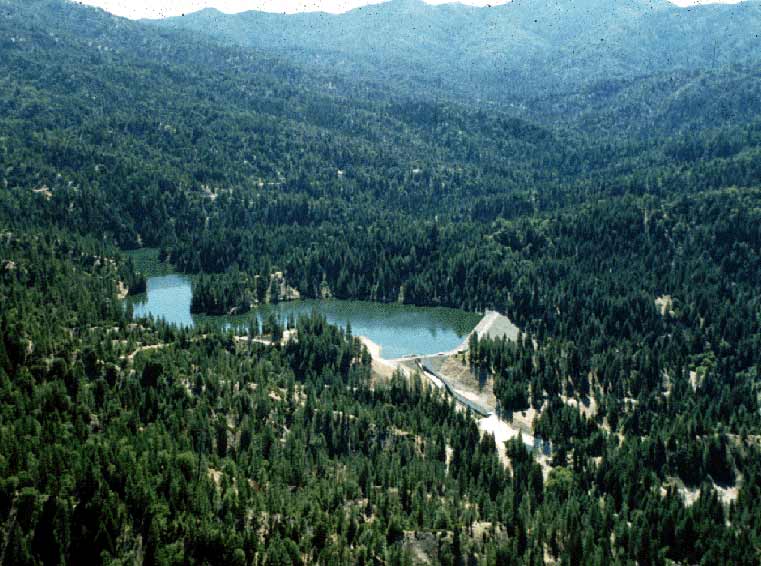
Buckhorn Dam on Grass Valley Creek was built to catch sediment from this highly erodible watershed and prevent it from entering the Trinity River. Photo courtesy of the Trinity Resource Conservation District. Sept. 1994.
Buckhorn Dam under construction with the spillway for overflow at lower center in the photograph. Photo courtesy of the Trinity Resource Conservation District. July 1989.
Ground level photograph of Buckhorn Reservoir in the Grass Valley Creek watershed. Bare soils on the opposite shore of the reservoir are in part owing to past logging on the site and contribute to a naturally high erosion rate that already exists in the watershed. Photo courtesy of the Trinity Resource Conservation District. March, 1995.
The terraces of decomposed granite sands at the upper end of Buckhorn Reservoir after large storm events in January and March of 1995. The estimated amount of sediment deposited in 1995 was 27,000 cubic yards. See Info Links for more information. Photo courtesy of the Trinity Resource Conservation District. May 1995.
Upper end of Buckhorn Reservoir showing sand deposits after several wet years. The delta forms where Grass Valley Creek enters the reservoir and is measured annually. Photo courtesy of the Trinity Resource Conservation District. April 1999.
Geologist Danny Hagans assists the Trinity County RCD in measuring sediment at the upper end of Buckhorn Reservoir in May 1995. Photo courtesy of the Trinity Resource Conservation District.
Sand backs up in riparian of Grass Valley Creek at the top of the Buckhorn Reservoir in May 1995. Photo courtesy of the Trinity Resource Conservation District.
 Click on image to enlarge (70K).
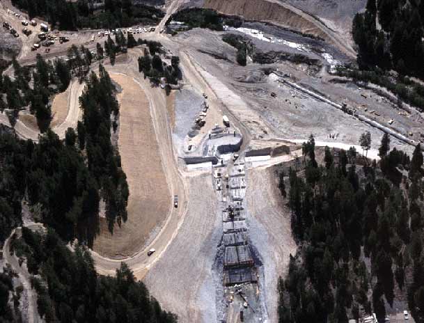 Click on image to enlarge (45K).
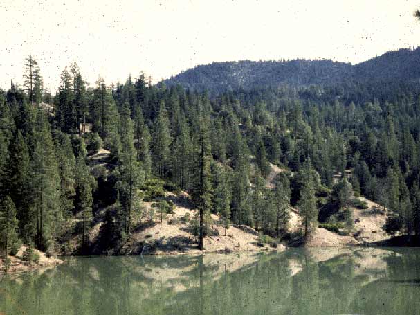 Click on image to enlarge (44K).
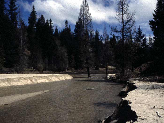 Click on image to enlarge (46K).
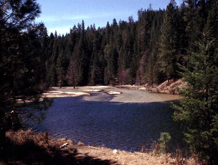 Click on image to enlarge (63K).
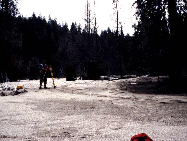 Click on image to enlarge (64K).
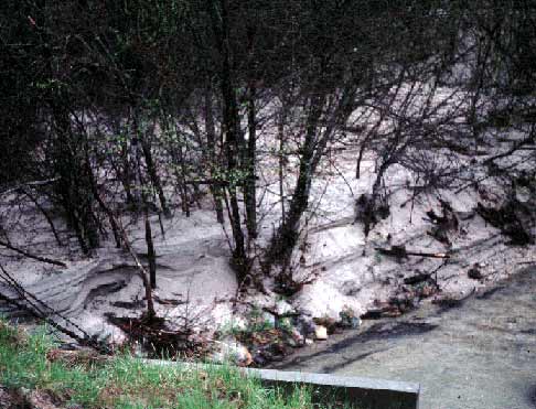 Click on image to enlarge (39K).
To learn more about this topic click Info Links
To view additional information (data source, aquisition date etc.) about this page, click Metadata
| www.krisweb.com |