
| Area | Middle Trinity |
| Topic | Tour: GVC Road Decommissioning #2 |
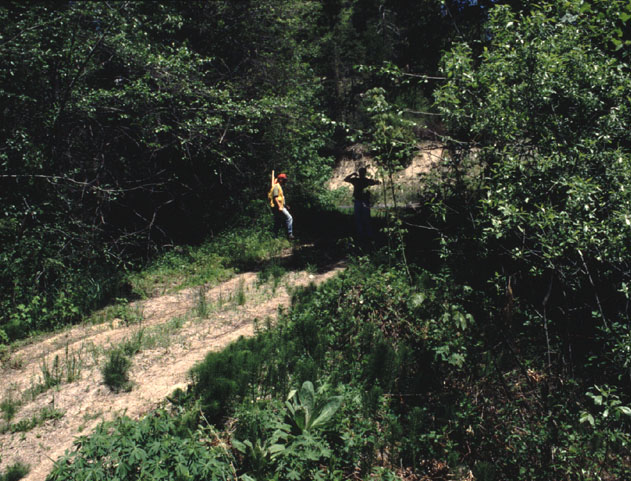
This photograph shows a stream crossing in the Grass Valley Creek watershed being surveyed by Trinity RCD and NRCS staff in May 1995. The new technique for removal of road crossings after storms in 1995 was to remove only the fill, not channel excavation (see Picture #2 for after shot). Photo courtesy of the Trinity County Resource Conservation District.
Removal of fill material associated with the Siller (site 27-9.24) stream crossing in the Grass Valley Creek watershed. Note that stream excavation associated with the project was not extensive. The entire disturbed area was also covered with armoring with Enkamat (fine nylon) to prevent erosion of the bed. Photo courtesy of the Trinity County Resource Conservation District. June 1995.
This road within the Grass Valley Creek watershed (site 27B.150) was a potential source of erosion and consequently was obliterated or decommissioned (see Pictures #4&5). Photo courtesy of the Trinity County Resource Conservation District. July 1993.
The old road prism at site 27B.150 was out-sloped back to its original contour and mulched to prevent erosion until re-vegetation occurred. Photo courtesy of the Trinity County Resource Conservation District. September 1993.
This photograph shows that the road decommissioning at site 27B.150 was successful. Photo courtesy of the Trinity County Resource Conservation District. May 1994.
 Click on image to enlarge (127K).
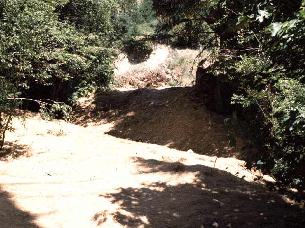 Click on image to enlarge (61K).
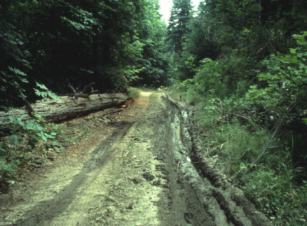 Click on image to enlarge (102K).
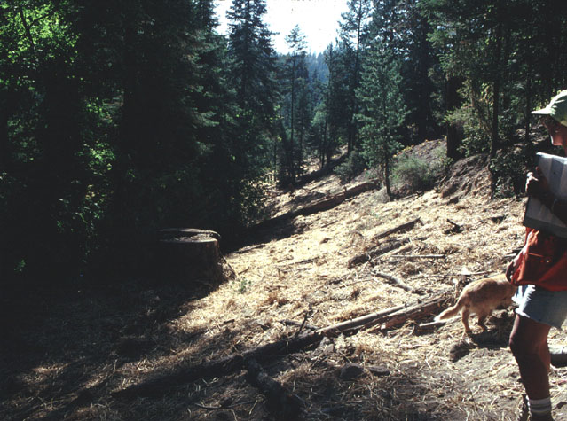 Click on image to enlarge (110K).
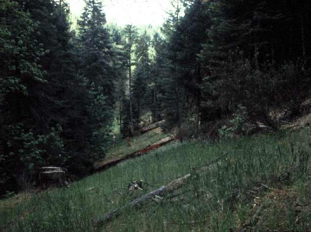 Click on image to enlarge (36K).
To learn more about this topic click Info Links
To view additional information (data source, aquisition date etc.) about this page, click Metadata
| www.krisweb.com |