
| Area | Salmon River |
| Topic | Tour: Fuels Management Project |
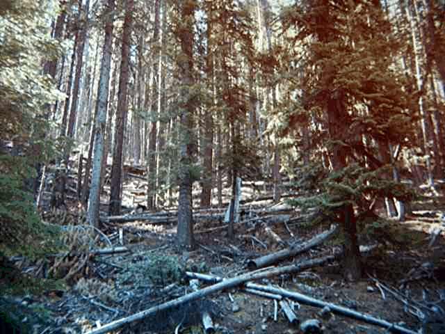
The forest floor in this photo appears to have high fuel levels. Fire suppression over the last several decades may have promoted this condition in some areas.
This area is near residential settlements and was burned both in 1977 and 1987. Note the fuels from snags and brush.
The brush understory in an area burned by the 1987 fire increases current fuel levels.
Hand piling and burning help reduce fuel levels in an area affected by the 1987 fires.
Fuels reduction adjacent to roads helps prevent fires starting from these locations.
This is a road intersection after fuels reduction work. Notice the small ridge in the center of the picture. The brush on this ridge was dense and 10 feet tall before the work was completed.
 Click on image to enlarge (49K).
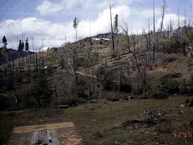 Click on image to enlarge (28K).
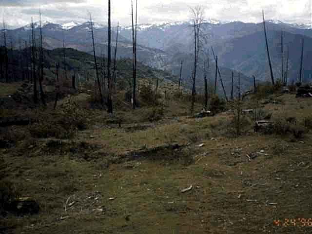 Click on image to enlarge (23K).
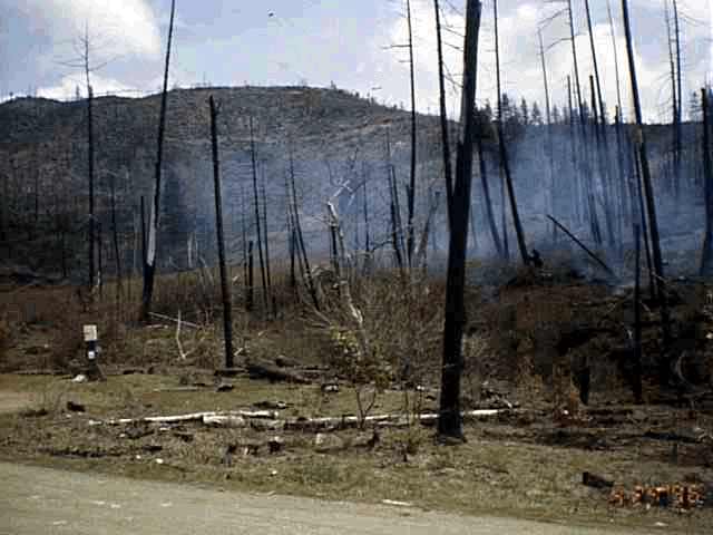 Click on image to enlarge (31K).
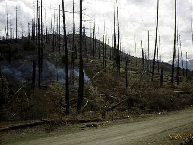 Click on image to enlarge (29K).
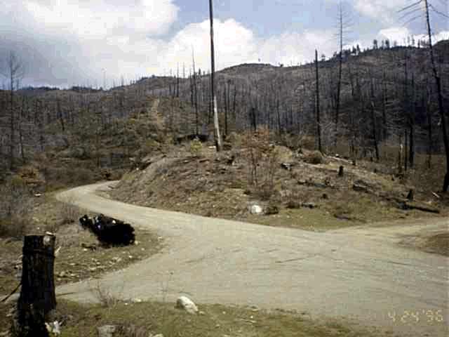 Click on image to enlarge (27K).
To learn more about this topic click Info Links
To view additional information (data source, aquisition date etc.) about this page, click Metadata
| www.krisweb.com |