
| Area | Scott River |
| Topic | Tour: Restoration Faye Lane (Bank Stabilization/Riparian) after Jan 19 |
The Scott River swept through a field to the right of the photo, and then jumped back into the channel over a low levee that was at right, which was destroyed. The new berm was shored up after the flood using heavy equipment as an emergency relief measure. This is the only major failure at the Faye Lane project. The water accumulated from the overflow area was not anticipated. Photo by Pat Higgins.
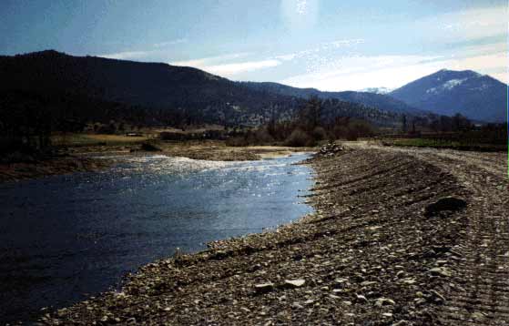
The Scott River looking downstream at the same locations as Picture #1. This bank at left was created with heavy equipment after flood flows spilling back from through the field washed out previous work. Photo by Pat Higgins.
The Scott River eroded this bank in the Faye Lane project area that had been partially protected by rock wing deflectors. Unfortunately, the high water on January 1, 1997 came before vegetation planted as part of the project could take hold and prevent erosion. Photo courtesy of the Siskiyou RCD.
Gary Black of the Siskiyou RCD checks fish screen on Faye Lane project site in August 1997. Photo by Pat Higgins.
 Click on image to enlarge (28K).
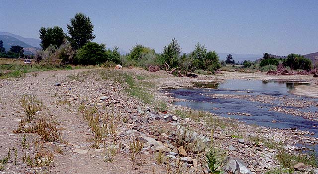 Click on image to enlarge (78K).
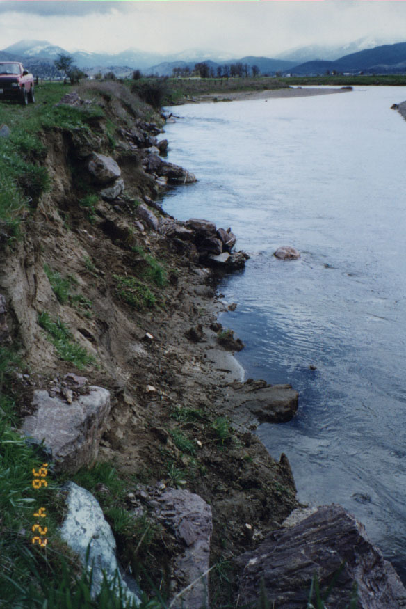 Click on image to enlarge (129K).
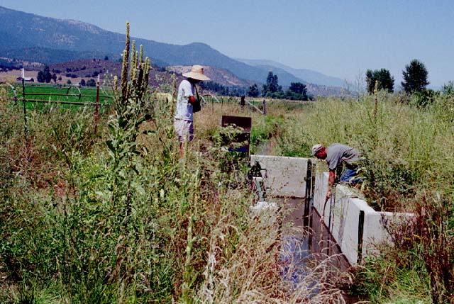 Click on image to enlarge (91K).
To learn more about this topic click Info Links
To view additional information (data source, aquisition date etc.) about this page, click Metadata
| www.krisweb.com |