
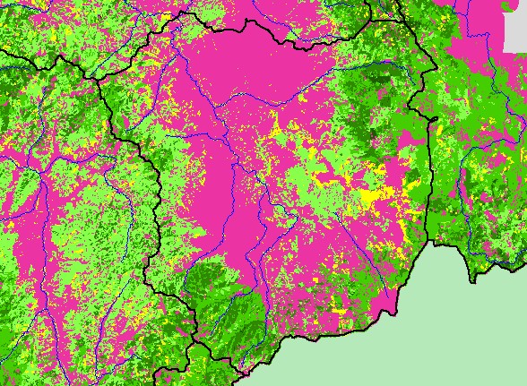
| Area | Shasta |
| Topic | Map: 1C. Vegetation Size, Shasta Sub-basin |
| This is a map of 1994 vegetation size data for the Shasta sub-basin, derived by the U.S. Forest Service from Landsat satellite images, displayed with 1:500,000 scale streams. The vegetation classification is accurate at a one-hectare scale and is suitable for stand classification. Data were provided by the U.S. Forest Service Spatial Analysis Lab in Sacramento, CA, and Humboldt State University. | |||
 |
 |
||
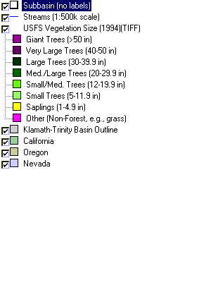
To view metadata about a map layer, click on a link in the table below.
| Name of Layer in Map Legend | Metadata File Name |
|---|---|
| Subbasin (no labels) | tfsubwsd.shp.txt |
| Streams (1:500k scale) | Unavailable |
| USFS Vegetation Size (1994)(TIFF) | vegsize94klam.tif.txt |
| Klamath-Trinity Basin Outline | klambsn_outl.shp.txt |
| California | Unavailable |
| Oregon | oregon_bdry.shp.txt |
| Nevada | nevada_bdry.shp.txt |
| www.krisweb.com |