
| Area | S.F. Trinity |
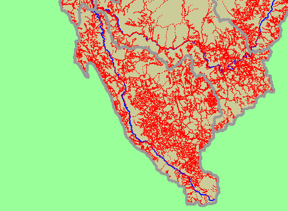
| Topic | Map: 1G. Roads, South Fork Trinity Sub-Basin |
| This is a map of 1:24,000 scale roads in the Middle Trinity sub-basin, displayed with sub-basins and the mainstem South Fork Trinity River. The actual number of roads is under-represented in this map because the roads layer is based primarily on 1:24,000 scale topographic maps, which may be out-dated and tend to underestimate forest and ranch roads. Data were contributed by the Trinity County Resource Conservation District. | |||
 |
 |
||
To view metadata about a map layer, click on a link in the table below.
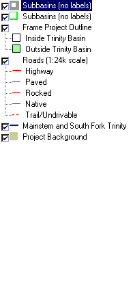
| Name of Layer in Map Legend | Metadata File Name |
|---|---|
| Subbasins (no labels) | subbasins_trin.shp.txt |
| Subbasins (no labels) | subbasins_trin.shp.txt |
| Frame Project Outline | Unavailable |
| Roads (1:24k scale) | tc_trans.shp.txt |
| Mainstem and South Fork Trinity | trin_riv.shp.txt |
| Topographic Map (1:24k scale) | trinity.sid.txt |
| Grayscale Elevation Hillshade | grayscale30.tif.txt |
| Project Background | trin_outl.shp.txt |
| www.krisweb.com |